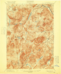
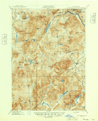
1898 Map of Thirteenth Lake
USGS Topo · Published 1918About this map
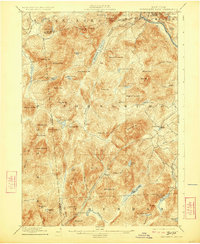
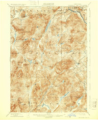
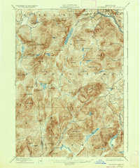
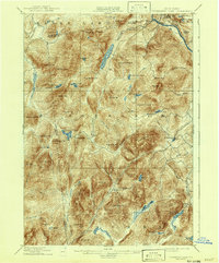
Moores Mine sits perched on the northern slopes of Gore Mt., marking the industrial extraction typical of the central Adirondack region at the turn of the century. This survey documents a landscape defined by its high peaks and intricate waterways, where small settlements like Bakers Mills and Garnet established themselves along the narrow valleys. The map illustrates the complex hydrology of the high country, from the expansive Thirteenth Lake to the isolated Siamese Ponds and the headwaters of the Hudson River near the town of Chester.
Find a feature on this map
80 named features on this map. Tap any name to fly to it.
Don’t see what you’re looking for? This feature index may not catch every label — zoom into the map to look around manually.
Map Details
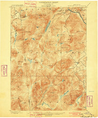
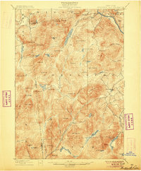
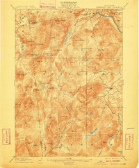
Editions of this 1898 Thirteenth Lake Map
10 editions found
Other maps of this area

1895 · North Creek
USGS Topo · 1:62,500

1897 · North Creek
USGS Topo · 1:62,500

1897 · Schroon Lake
USGS Topo · 1:62,500

1898 · Newcomb
USGS Topo · 1:62,500

1898 · Thirteenth Lake
USGS Topo · 1:62,500

1899 · Indian Lake
USGS Topo · 1:62,500

1901 · Newcomb
USGS Topo · 1:62,500

1902 · Indian Lake
USGS Topo · 1:62,500

1903 · Luzerne
USGS Topo · 1:62,500

1903 · Blue Mountain
USGS Topo · 1:62,500