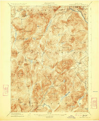
1898 Map of Thirteenth Lake
USGS Topo · Published 1923About this map
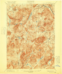
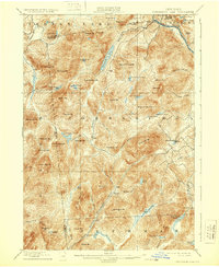
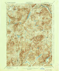
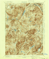
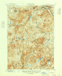
The upper reaches of the Hudson River and the East Branch Sacandaga River converge in this high-altitude terrain of Warren County during the late nineteenth century. Small hamlets like Bakers Mills and Oregon appear alongside isolated industrial points such as Moores Mine and the settlement of Garnet. The landscape is dominated by a dense network of mountain peaks and water bodies, including the centrally located Thirteenth Lake and the remote Siamese Ponds.
Find a feature on this map
79 named features on this map. Tap any name to fly to it.
Don’t see what you’re looking for? This feature index may not catch every label — zoom into the map to look around manually.
Map Details
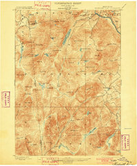
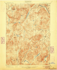
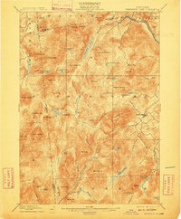
Editions of this 1898 Thirteenth Lake Map
10 editions found
Other maps of this area

1895 · North Creek
USGS Topo · 1:62,500

1897 · North Creek
USGS Topo · 1:62,500

1897 · Schroon Lake
USGS Topo · 1:62,500

1898 · Newcomb
USGS Topo · 1:62,500

1898 · Thirteenth Lake
USGS Topo · 1:62,500

1899 · Indian Lake
USGS Topo · 1:62,500

1901 · Newcomb
USGS Topo · 1:62,500

1902 · Indian Lake
USGS Topo · 1:62,500

1903 · Luzerne
USGS Topo · 1:62,500

1903 · Blue Mountain
USGS Topo · 1:62,500