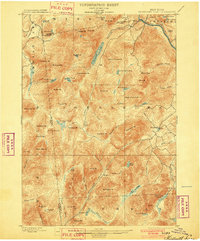
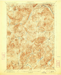
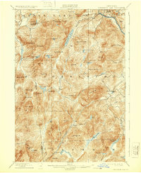
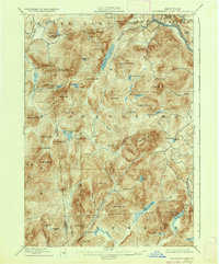
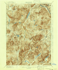
1898 Map of Thirteenth Lake
USGS Topo · Published 1901About this map
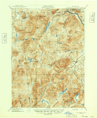
Bakers Mills serves as a primary settlement point in this late nineteenth-century landscape, positioned at the edge of the Adirondacks where the terrain shifts toward high mountain peaks. The map reveals a land defined by its hydrology and industrial potential, with the upper reaches of the Hudson River carving through the northeast corner and the Sacandaga River winding through the southern reaches. Mining activity is noted at Moores Mine near the base of Gore Mt., suggesting the extraction of local minerals that once drove the regional economy.
Find a feature on this map
82 named features on this map. Tap any name to fly to it.
Don’t see what you’re looking for? This feature index may not catch every label — zoom into the map to look around manually.
Map Details
Editions of this 1898 Thirteenth Lake Map
10 editions found
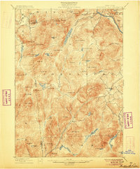
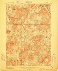
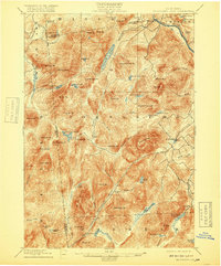
Other maps of this area

1895 · North Creek
USGS Topo · 1:62,500

1897 · North Creek
USGS Topo · 1:62,500

1897 · Schroon Lake
USGS Topo · 1:62,500

1898 · Newcomb
USGS Topo · 1:62,500

1898 · Thirteenth Lake
USGS Topo · 1:62,500

1899 · Indian Lake
USGS Topo · 1:62,500

1901 · Newcomb
USGS Topo · 1:62,500

1902 · Indian Lake
USGS Topo · 1:62,500

1903 · Luzerne
USGS Topo · 1:62,500

1903 · Blue Mountain
USGS Topo · 1:62,500