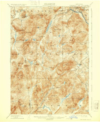
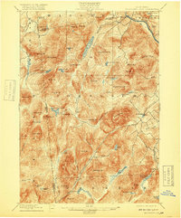
1898 Map of Thirteenth Lake
USGS Topo · Published 1930About this map
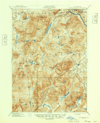
Gore Mt. and Thirteenth Lake dominate this late 19th-century survey of the southeastern Adirondacks, where Hamilton, Essex, and Warren counties converge. The landscape is a complex network of high peaks and isolated basins, defined by the drainage of the upper Hudson River to the northeast and the Sacandaya River to the south. Small, remote settlements such as Bakers Mills and Oregon appear as tiny outposts connected by primitive roads through the deep woods.
Find a feature on this map
79 named features on this map. Tap any name to fly to it.
Don’t see what you’re looking for? This feature index may not catch every label — zoom into the map to look around manually.
Map Details
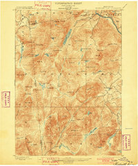
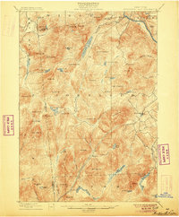
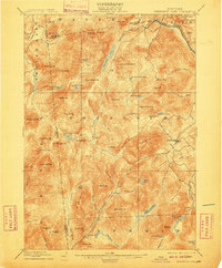
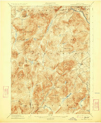
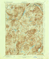
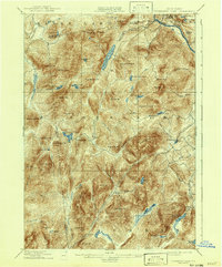
Editions of this 1898 Thirteenth Lake Map
10 editions found
Other maps of this area

1895 · North Creek
USGS Topo · 1:62,500

1897 · North Creek
USGS Topo · 1:62,500

1897 · Schroon Lake
USGS Topo · 1:62,500

1898 · Newcomb
USGS Topo · 1:62,500

1898 · Thirteenth Lake
USGS Topo · 1:62,500

1899 · Indian Lake
USGS Topo · 1:62,500

1901 · Newcomb
USGS Topo · 1:62,500

1902 · Indian Lake
USGS Topo · 1:62,500

1903 · Luzerne
USGS Topo · 1:62,500

1903 · Blue Mountain
USGS Topo · 1:62,500