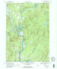
1968 Map of Lake Luzerne
USGS Topo · Published 1988About this map
The Hudson River and Sacandaga River converge at the settlements of Hadley and Lake Luzerne in this late 1960s survey of the southeastern Adirondack Park. The landscape is defined by the high peaks of the Luzerne Mountains, including Cobble Mtn and Bucktail Mtn, which overlook a dense network of water bodies such as Fourth Lake, Second Lake, and Lake Vanare. Settlement patterns follow the river valleys and early thoroughfares like Stage Road and River Road.
Find a feature on this map
67 named features on this map. Tap any name to fly to it.
Don’t see what you’re looking for? This feature index may not catch every label — zoom into the map to look around manually.
Map Details
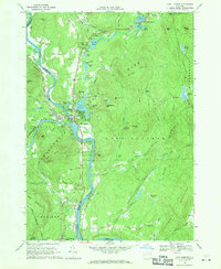
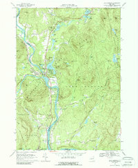
Editions of this 1968 Lake Luzerne Map
3 editions found
Other maps of this area

1895 · Glens Falls
USGS Topo · 1:62,500

1897 · Glens Falls
USGS Topo · 1:62,500

1900 · Schuylerville
USGS Topo · 1:62,500

1902 · Saratoga
USGS Topo · 1:62,500

1903 · Luzerne
USGS Topo · 1:62,500

1935 · Gansevoort
USGS Topo · 1:24,000

1935 · Corinth
USGS Topo · 1:24,000

1938 · Glens Falls
USGS Topo · 1:62,500
1940 · Schuylerville
USGS Topo · 1:62,500

1942 · Saratoga
USGS Topo · 1:62,500