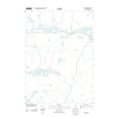
2013 Map of Newcomb
USGS Topo · Published 2013About this map
Newcomb serves as the central hub for this wilderness landscape in the Adirondacks, situated along a chain of lakes that includes Harris Lake, Rich Lake, and Belden Lake. The geography is defined by its complex hydrography, where the Hudson River flows south past Ord Falls and various mountain peaks such as Goodnow Mtn and Polaris Mtn dictate the drainage patterns. To the south, the Essex Chain Lakes and Goodnow Flowage demonstrate the area's interconnected water systems, which have historically supported local recreation and timber interests.
Find a feature on this map
47 named features on this map. Tap any name to fly to it.
Don’t see what you’re looking for? This feature index may not catch every label — zoom into the map to look around manually.
Map Details
Editions of this 2013 Newcomb Map
This is the sole edition of this map. No revisions or reprints were ever made.
Other maps of this area

1898 · Newcomb
USGS Topo · 1:62,500

1901 · Newcomb
USGS Topo · 1:62,500

1903 · Blue Mountain
USGS Topo · 1:62,500

1904 · Santanoni
USGS Topo · 1:62,500

1904 · Long Lake
USGS Topo · 1:62,500

1948 · Ogdensburg
USGS Topo · 1:250,000

1950 · Utica
USGS Topo · 1:250,000

1951 · Ogdensburg
USGS Topo · 1:250,000

1953 · Ogdensburg
USGS Topo · 1:250,000

1953 · Santanoni
USGS Topo · 1:62,500