Old Maps of Ticonderoga, New York for Genealogy
Trace your family roots with 64 historic maps of Ticonderoga. These high-res maps reveal old neighborhoods, homesites, landmarks, and streets — helping you uncover where your ancestors lived and how the area evolved over time.
- Explore historic neighborhoods: Identify where your relatives may have lived in the 1800s or 1900s.
- Compare maps over time: Trace the changes in streets, buildings, and landmarks for multi-generational research.
- Perfect for genealogy & ancestry research: Used by family historians and researchers to map out lineage and migration.
These maps are an incredible resource for exploring your personal connection to Ticonderoga's past.
Ticonderoga, NY maps
(64)- 1894 Map of Ticonderoga, 1954 Print
 1894 Ticonderoga1954 Print · USGSLake Champlain and its strategic fortifications appear here in the 1890s as a landscape of iron mining and essential rail junctions. Trace the historic grounds of Ft. Ticonderoga Ruin and the rail corridors of the Delaware and Hudson RR through Crown Point and Orwell.2 unique versions available
 - 1895 Map of Paradox Lake, 1954 Print
 1895 Paradox Lake1954 Print · USGSThe Adirondack high country near the turn of the century is captured here during the peak of its early industrial era. Trace the old mining works at Hammondville, the route of the Abandoned H. R. R., and remote mountain waters like Pharaoh Lake.
 - 1896 Map of Ticonderoga
 1896 Ticonderoga1896 Print · USGSThe strategic narrows of Lake Champlain and Lake George are shown here in the late nineteenth century, capturing the area's transition from military frontier to industrial corridor. Genealogists and historians can trace rail lines, steamer routes, and local landmarks like Ticonderoga Ruin, French Ch., and Burdicks Crossing.2 unique versions available
 - 1897 Map of Paradox Lake
 1897 Paradox Lake1897 Print · USGSThe eastern Adirondacks near the turn of the century show a rugged landscape of early iron-and-rail industry. Researchers can trace the C. P. and H. R. R. (Abandoned) rail line near Ironville and locate historic settlements like Hammondville and Chilson.10 unique versions available
 - 1902 Map of Ticonderoga
 1902 Ticonderoga1902 Print · USGSThe Champlain Valley at the start of the twentieth century is captured here in the borderlands of New York and Vermont. Researchers can trace the military grounds of Fort Ticonderoga, identify operations at the Iron Mine, and locate rural stations like Burdick Crossing.11 unique versions available
 - 1927 Map of Orwell
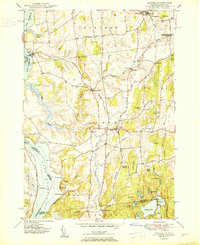 1927 Orwell1927 Print · USGSMid-century Addison County reveals a landscape shaped by the Rutland Railroad and the Lake Champlain shoreline. Genealogists and local historians can trace family-named sites from Larrabees Point to Orwell and locate rural landmarks like Hough Crossing School.
 - 1949 Map of Orwell
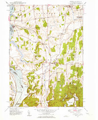 1949 Orwell1949 Print · USGSMid-century Vermont agricultural life is captured here along the Lake Champlain shore and the vital Rutland Railroad line. Genealogists can trace local landmarks like Hough Crossing, the Larrabees Point Sta, and the Mountain View Cem.3 unique versions available
 - 1949 Map of Bridport, 1965 Print
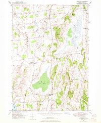 1949 Bridport1965 Print · USGSMid-century Addison County comes alive in this survey of the pastoral Champlain Valley landscape. Genealogists and researchers can trace family landmarks and rural infrastructure, including School No 6, St Genevieve Cem, and the historic crossroads at Cream Hill.4 unique versions available
 - 1950 Map of Bridport
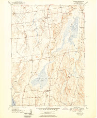 1950 Bridport1950 Print · USGSThe rural landscapes of Bridport and Shoreham come alive in the 1950s, showing a world of hilltop farms and winding valley streams. Genealogists can locate family names at Pine Hill Cem or Lakeview Cem, and trace the grounds of All Saints Chapel and School No 6.2 unique versions available
 - 1950 Map of Glens Falls
 1950 Glens Falls1950 Print · USGSThe Adirondacks and the Green Mountains meet in this mid-century survey of the New York and Vermont borderlands. Researchers can trace the industrial rail corridors of the Rutland RR and Delaware & Hudson RR connecting Glens Falls, Rutland, and the shores of Lake George.
 - 1950 Map of Ticonderoga, 1952 Print
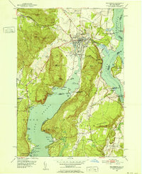 1950 Ticonderoga1952 Print · USGSThe Ticonderoga region was a vital crossroads at mid-century, where the waters of Lake George and Lake Champlain meet. Genealogists and historians can trace the foundations of the area through landmarks like Fort Ticonderoga, St Marys Cem, and the old Lower Chilson Sch.9 unique versions available
 - 1950 Map of Crown Point, 1952 Print
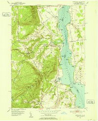 1950 Crown Point1952 Print · USGSThe mid-century shoreline of Lake Champlain is captured here, showing the transition from the Adirondacks into Vermont. Researchers can trace the Delaware and Hudson railroad and locate local landmarks like the Champlain Speedway and Sacred Heart Cem.4 unique versions available
 - 1950 Map of Ticonderoga, 1960 Print
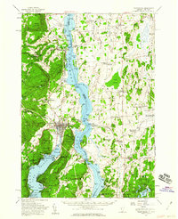 1950 Ticonderoga1960 Print · USGSThe Champlain Valley around the Vermont and New York border comes into focus just after the war, showing a landscape defined by its historic forts and rail lines. Genealogists and historians can trace family-named landmarks like Burdick Crossing, local schools such as Lake Sch, and old cemeteries including Lakeview Cem.3 unique versions available
 - 1953 Map of Paradox Lake, 1956 Print
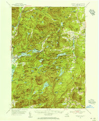 1953 Paradox Lake1956 Print · USGSThe Adirondack wilderness of the early fifties is preserved here, showing the balance between quiet settlements and the region's industrial past. Genealogists and historians can trace family locations near Ironville, St Nicholas Chapel, and the Schroon River Cem.5 unique versions available
 - 1956 Map of Glens Falls, 1968 Print
 1956 Glens Falls1968 Print · USGSUpper New York and the Vermont mountains are captured here in the mid-fifties, showing the rugged rail-and-river network of the Northeast. Researchers can trace the paths of the Delaware and Hudson RR and Rutland RR as they wind through valley towns like Poultney and Whitehall.3 unique versions available
 - 1959 Map of Glens Falls
 1959 Glens Falls1959 Print · USGSUpper New York and Vermont are captured here during the late 1950s, a period of transition for these mountain communities. Researchers can trace the legacy of the region's river-and-rail economy through landmarks like Lake George, Saratoga Springs, and Killington Peak.2 unique versions available
 - 1964 Map of Glens Falls
 1964 Glens Falls1964 Print · USGSThe tri-state borderlands of New York, Vermont, and New Hampshire appear here in the mid-1960s. Researchers can trace the rail routes of the Rutland RR and find historic sites like Ticonderoga and Saratoga National Historical Park.
 - 1973 Map of Graphite, 1975 Print
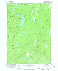 1973 Graphite1975 Print · USGSThe Adirondack high country in the early seventies shows a landscape of isolated hamlets and dense wilderness. Trace family footprints through Hague, find the small May Memorial Cem, or locate the inland mining settlement at Graphite.2 unique versions available
 - 1973 Map of Eagle Lake, 1975 Print
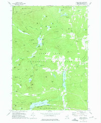 1973 Eagle Lake1975 Print · USGSEssex County in the early seventies shows a landscape where industrial heritage meets protected wilderness. Genealogists and historians can locate remote settlements like Ironville, old mining sites near Furnace Mtn, and landmarks along Eagle Lake.
 - 1973 Map of Pharaoh Mountain, 1976 Print
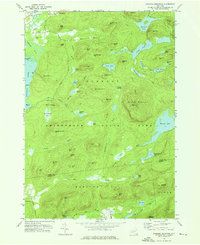 1973 Pharaoh Mountain1976 Print · USGSAdirondack wilderness in the early 1970s is characterized by its high summits and scattered backcountry ponds. Researchers can find old trails, the Sandpit Cem, and family-named landmarks like Wilson Hill or the Lookout Tower on Pharaoh Mountain.
 - 1973 Map of Paradox Lake, 1976 Print
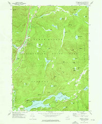 1973 Paradox Lake1976 Print · USGSThe Adirondack backcountry in the early seventies shows a landscape of deep-woods ponds and growing recreational hubs. Genealogists and hikers can trace old routes near North Hudson or locate family sites by Pine Ridge Cem and Schroon Falls.2 unique versions available
 - 1986 Map of Ticonderoga
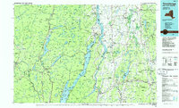 1986 Ticonderoga1986 Print · USGSThe Lake Champlain valley in the mid-eighties shows a landscape defined by Revolutionary War history and deep wilderness. Researchers can trace the Delaware and Hudson RR through the mountains or locate local landmarks like Fort Ticonderoga, St. Genevieve Cem, and the Ore Bed.
 - 1989 Map of Ticonderoga
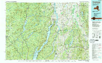 1989 Ticonderoga1989 Print · USGSThe Champlain Valley and Adirondack foothills meet in the late eighties, documenting a historic borderland defined by mountain lakes and timber. Genealogists and historians can trace the paths of the Delaware and Hudson RR or locate the Hubbardton Battlefield State Historic Site.2 unique versions available
 - 2010 Map of Graphite, 2010 Print
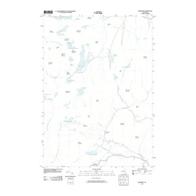 2010 Graphite2010 Print · USGSThe eastern Adirondacks are captured here in the early twenty-first century, showing the rugged topography around Graphite. Genealogists and hikers can locate the May Memorial Cemetery or trace paths to remote waters like Grizzle Ocean and Pharoah Lake.
 - 2010 Map of Eagle Lake, 2010 Print
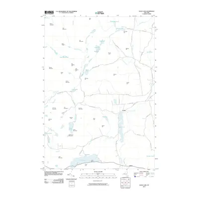 2010 Eagle Lake2010 Print · USGSThe eastern Adirondack wilderness near Ticonderoga is shown here in the early twenty-first century, featuring a landscape shaped by early industry. Researchers can trace the heritage of local settlements like Ironville and landmarks such as Spar Bed Hill and Penfield Pond.
Showing maps 1-25 of 64
Top cities near Ticonderoga
- Moriah historical maps
- Warrensburg historical maps
- Fair Haven historical maps
- Crown Point historical maps
- Bolton historical maps
- Schroon historical maps
See more
Top neighborhoods of Ticonderoga
- Howes Landing historical maps
- Street Road historical maps
- Baldwin historical maps
- Chilson historical maps
Frequently asked questions
- What are the different types of historical maps available for Ticonderoga?
- What is the oldest map of Ticonderoga?
- Where can I purchase historical maps of Ticonderoga for my home or office?
- Where can I download high-res historical maps of Ticonderoga?
- Are there historical topographic maps available for Ticonderoga?
- Is there historical aerial imagery available for Ticonderoga?
- Where are historical maps of Ticonderoga sourced from?