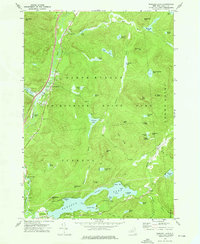
1973 Map of Paradox Lake
USGS Topo · Published 1976About this map
North Hudson and the surrounding wilderness of the Adirondack State Park are captured here during the early 1970s. The landscape is defined by the winding Schroon River as it flows south toward Schroon Falls, flanked by early recreational infrastructure such as the Frontier Town Airpark and numerous picnic areas. This era shows the developed corridor along the highway, contrasted with the dense network of interior ponds like Johnson Pond and Bass Lake that remain accessible only via footpaths and logging tracks. To the south, the settlement of Severance sits at the western edge of Paradox Lake, a glacial water body characterized by its distinct bays and islands, including Dark Bay and Crawford Island. Local history is preserved in the location of the Pine Ridge Cem and Schroon River Cem, which anchor the small community centers of the period.
Find a feature on this map
75 named features on this map. Tap any name to fly to it.
Don’t see what you’re looking for? This feature index may not catch every label — zoom into the map to look around manually.
Map Details
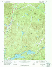
Editions of this 1973 Paradox Lake Map
2 editions found
Other maps of this area

1894 · Elizabethtown
USGS Topo · 1:62,500

1895 · Elizabethtown
USGS Topo · 1:62,500

1895 · Mt. Marcy
USGS Topo · 1:62,500

1895 · Paradox Lake
USGS Topo · 1:62,500

1897 · Paradox Lake
USGS Topo · 1:62,500

1897 · Schroon Lake
USGS Topo · 1:62,500

1901 · Elizabethtown
USGS Topo · 1:62,500

1902 · Mt. Marcy
USGS Topo · 1:62,500

1950 · Glens Falls
USGS Topo · 1:250,000

1950 · Lake Champlain
USGS Topo · 1:250,000