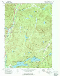
1973 Map of Paradox Lake
USGS Topo · Published 1988About this map
The Schroon River corridor anchors this 1970s topographical study of the eastern Adirondacks, tracing the river's path south from North Hudson toward the expansive waters of Lake Paradox. The map documents a landscape defined by its glacial hydrology, from the intricate bays of Lake Paradox—including Legoys Bay and Dark Bay—to the numerous remote interior waters like Johnson Pond and Berrymill Pond.
Find a feature on this map
70 named features on this map. Tap any name to fly to it.
Don’t see what you’re looking for? This feature index may not catch every label — zoom into the map to look around manually.
Map Details
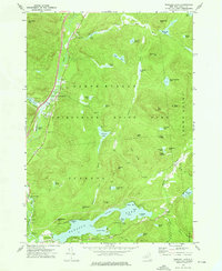
Editions of this 1973 Paradox Lake Map
2 editions found
Other maps of this area

1894 · Elizabethtown
USGS Topo · 1:62,500

1895 · Elizabethtown
USGS Topo · 1:62,500

1895 · Mt. Marcy
USGS Topo · 1:62,500

1895 · Paradox Lake
USGS Topo · 1:62,500

1897 · Paradox Lake
USGS Topo · 1:62,500

1897 · Schroon Lake
USGS Topo · 1:62,500

1901 · Elizabethtown
USGS Topo · 1:62,500

1902 · Mt. Marcy
USGS Topo · 1:62,500

1950 · Glens Falls
USGS Topo · 1:250,000

1950 · Lake Champlain
USGS Topo · 1:250,000