Old Maps of Caroga, New York for Hiking & Exploration
Hike through history with 42 historic maps of Caroga. Explore old trails, ghost towns, and forgotten backroads — perfect for outdoor adventurers and local explorers.
- Rediscover forgotten places: Map out old mining camps, roads, and footpaths that no longer exist on modern maps.
- Layer with modern tools: Combine with LiDAR or satellite views to plan hikes through historical terrain.
- Made for exploration: Popular among hikers, overlanders, and local history lovers.
Use these maps to find adventure and explore the hidden past of Caroga.
Caroga, NY maps
(42)- 1901 Map of Lassellsville, 1959 Print
 1901 Lassellsville1959 Print · USGSFulton and Montgomery Counties come alive in this turn-of-the-century survey of the Mohawk Valley and southern Adirondacks. Genealogists and researchers can pinpoint family holdings near Irish Settlement, the industry of Newkirk Mills, and the rails of the N. Y. C. and H. R. R. R.
 - 1903 Map of Gloversville
 1903 Gloversville1903 Print · USGSGloversville and Johnstown anchor this turn-of-the-century survey as the region's industrial heart, surrounded by the growing Adirondack resort and timber lands. Genealogists and historians can trace the Electric R.R. or locate historic markers like the Battle Monument and old hamlets like Bleecker Center.8 unique versions available
 - 1903 Map of Lassellsville
 1903 Lassellsville1903 Print · USGSFulton County at the start of the century shows a landscape of upland mill sites and busy valley railroads. Genealogists can trace family names at Irish Settlement, Fical Corners, and the mill sites at Newkirk Mills.6 unique versions available
 - 1943 Map of Gloversville
 1943 Gloversville1943 Print · USGSGloversville and Johnstown serve as the industrial anchors of this Adirondack foothills region during the early twentieth century. Genealogists and historians can trace the paths of the Electric R. R. and locate family landmarks like Kingsboro, Bleecker, and the Battle Monument.
 - 1945 Map of Caroga Lake, 1946 Print
 1945 Caroga Lake1946 Print · USGSThe Southern Adirondacks and the Fulton County line appear here in the mid-1940s, showcasing a network of mountain hamlets and glacial lakes. Genealogists and local historians can trace early schoolhouse locations like Union School and remote landmarks such as St Josephs Cem.2 unique versions available
 - 1945 Map of Canada Lake, 1963 Print
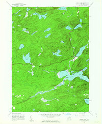 1945 Canada Lake1963 Print · USGSThe Southern Adirondacks just after the war were a landscape of remote mountain camps and quiet lakefront settlements. Trace early developments around Canada Lake and Arietta, or locate old landmarks like Waters Millpond and the Aqueduct.4 unique versions available
 - 1945 Map of Lassellsville, 1964 Print
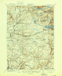 1945 Lassellsville1964 Print · USGSFulton County and the southern Adirondack fringe are captured here just after the turn of the century, showing a landscape of small mill towns and isolated highland settlements. Researchers can trace family-named crossroads like Fical Corners and vanished industrial sites at Glasgow Mills or Newkirk Mills.
 - 1945 Map of Lassellsville, 1964 Print
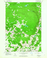 1945 Lassellsville1964 Print · USGSFulton and Montgomery Counties appear at the close of the Second World War as a landscape of rural hamlets and creek-side industry. Genealogists can trace family footprints at Dempster Corners, Miles School, and the Christman Cem.3 unique versions available
 - 1946 Map of Peck Lake
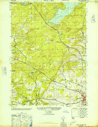 1946 Peck Lake1946 Print · USGSFulton County settlements and the southern Adirondacks are captured here in the years following the war. Researchers can trace the rural networks around Peck Lake, locating family burial sites like Boshart Cem and early schools including Clip Hill Sch.
 - 1946 Map of Canada Lake
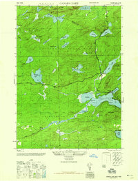 1946 Canada Lake1946 Print · USGSThe southern Adirondack wilderness comes into focus in the mid-1940s at the border of Hamilton and Fulton Counties. Researchers can trace early settlements and natural landmarks like Stewart Landing, Waters Millpond, and the heights of Kane Mtn.2 unique versions available
 - 1946 Map of Lassellsville
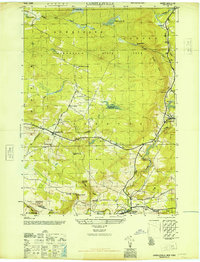 1946 Lassellsville1946 Print · USGSFulton County at the close of the war reveals a landscape of small hamlets and family-named landmarks tied to the Adirondack foothills. Researchers can trace ancestral locations at Fical Cem, the vanished Miles School, or the old industrial site at Glasgow Mills.
 - 1950 Map of Utica, 1951 Print
 1950 Utica1951 Print · USGSCentral New York in the post-war era showcases the industrial Mohawk Valley and the pristine Adirondack interior. Researchers can trace transportation networks like the New York Central Railroad and find early Cold War sites such as Griffiss Air Force Base.
 - 1957 Map of Utica
 1957 Utica1957 Print · USGSCentral New York and the Adirondack foothills are captured here in the mid-fifties, showing a landscape defined by the Mohawk River corridor and the growing highway system. Genealogists and researchers can trace the rail lines of the New York Central and locate communities from Lowville to Gloversville.
 - 1962 Map of Peck Lake
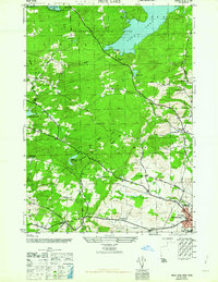 1962 Peck Lake1962 Print · USGSFulton County’s southern Adirondack foothills were well-established rural communities by the mid-1940s. Genealogists and local historians can trace family sites like Kecks Center Cem or follow the old Turnpike Road to the Wemple Sch.
 - 1962 Map of Utica
 1962 Utica1962 Print · USGSCentral New York and the Adirondack wilderness are captured here during the mid-century era of highway and industrial expansion. Genealogists and historians can trace the development of the New York State Thruway and local rail lines connecting Utica, Rome, and Gloversville.3 unique versions available
 - 1964 Map of Utica
 1964 Utica1964 Print · USGSCentral New York and the high wilderness of the Adirondacks are captured here during the post-war era of infrastructure expansion. Researchers can trace the development of the New York State Thruway alongside historic corridors like the Oneida Lake (Barge Canal Route) and the N. Y. Central railroad.
 - 1967 Map of Utica
 1967 Utica1967 Print · USGSCentral New York's industrial Mohawk Valley meets the Adirondack wilderness in the 1960s, showing the region's transition from manufacturing hubs to state-managed parklands. Trace historic settlements and sites like Griffiss Air Force Base, Colgate University, and the Lyons Falls Paper Mill.
 - 1970 Map of Peck Lake, 1972 Print
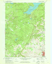 1970 Peck Lake1972 Print · USGSThe Fulton County countryside in the 1970s shows the meeting of the Adirondack wilderness and the growing outskirts of Gloversville. Locate family landmarks like Eppie Corners, the Boshart Cem, and North Bush.
 - 1970 Map of Caroga Lake, 1972 Print
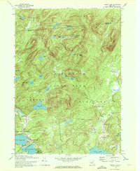 1970 Caroga Lake1972 Print · USGSThe southern Adirondacks come into focus during the early 1970s, showing a landscape defined by recreational camps and high-country hamlets. Researchers can trace local heritage through St Josephs Cemetery, the Union School at Wheelerville, and the lakeside community at Caroga Lake.
 - 1985 Map of Gloversville, 1986 Print
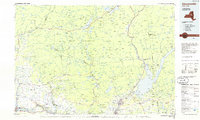 1985 Gloversville1986 Print · USGSThe southern Adirondacks meet the Mohawk Valley industrial corridor during the mid-eighties, showcasing a landscape of high-country lakes and riverside manufacturing towns. Trace the historical alignment of the Erie Canal and Conrail lines or locate landmarks like the Herkimer Home State Historic Site.2 unique versions available
 - 1997 Map of Canada Lake, 2000 Print
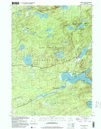 1997 Canada Lake2000 Print · USGSThe Adirondacks in the late 1990s remained a landscape of dense water networks and protected forests at the Fulton-Hamilton line. Trace the shorelines of Canada Lake and Pine Lake, or locate remote landmarks like Stewart Landing and Waters Millpond.
 - 1997 Map of Caroga Lake, 2000 Print
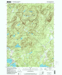 1997 Caroga Lake2000 Print · USGSCaroga Lake and the southern Adirondacks are captured here in the late 1990s as a landscape of mountain summits and glacial lakes. Researchers can trace local history through the Union Sch in Wheelerville and old family-named landmarks like St Josephs Cem and Holmes Lake Road.
 - 2010 Map of Canada Lake, 2010 Print
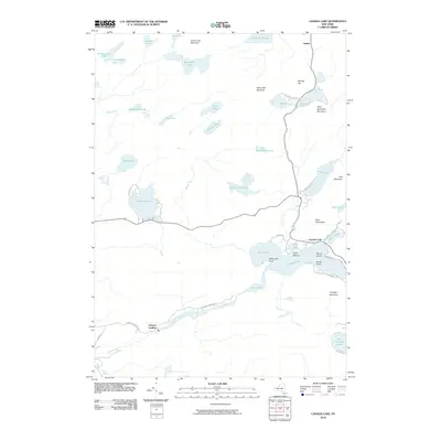 2010 Canada Lake2010 Print · USGSThe Southern Adirondacks come into focus here in the early twenty-first century, showing the lake-heavy landscape around Canada Lake and Stewart Landing. Genealogists and hikers can trace old routes like Stewart Landing Rd and find remote spots like Waters Millpond.
 - 2010 Map of Caroga Lake, 2010 Print
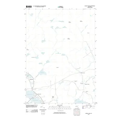 2010 Caroga Lake2010 Print · USGSThe Adirondack foothills of Fulton County are shown in detail here during the early twenty-first century. Genealogists and local historians can locate several rural burying grounds including Five Point Cemetery and Bleecker Center Cemetery near the settlement of Bleecker Center.
 - 2010 Map of Lassellsville, 2010 Print
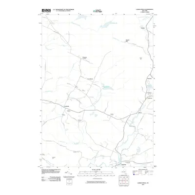 2010 Lassellsville2010 Print · USGSThe rural town of Lassellsville and its neighboring hamlets are captured here during the early 2000s. Researchers can locate numerous ancestral burial sites like Fical Cemetery and Dillaborough Cemetery while tracing the waters of Caroga Creek and Sprite Creek.
Showing maps 1-25 of 42
Top cities near Caroga
- Gloversville historical maps
- Johnstown historical maps
- Johnstown historical maps
- Mayfield historical maps
- Amsterdam historical maps
- Minden historical maps
See more
Top neighborhoods of Caroga
- Glasgow Mills historical maps
- North Bush historical maps
- Wheelerville historical maps
- Newkirk historical maps
- Canada Lake historical maps
- Caroga Lake historical maps
Frequently asked questions
- What are the different types of historical maps available for Caroga?
- What is the oldest map of Caroga?
- Where can I purchase historical maps of Caroga for my home or office?
- Where can I download high-res historical maps of Caroga?
- Are there historical topographic maps available for Caroga?
- Is there historical aerial imagery available for Caroga?
- Where are historical maps of Caroga sourced from?