Old Maps of Geneva, New York for Genealogy
Trace your family roots with 36 historic maps of Geneva. These high-res maps reveal old neighborhoods, homesites, landmarks, and streets — helping you uncover where your ancestors lived and how the area evolved over time.
- Explore historic neighborhoods: Identify where your relatives may have lived in the 1800s or 1900s.
- Compare maps over time: Trace the changes in streets, buildings, and landmarks for multi-generational research.
- Perfect for genealogy & ancestry research: Used by family historians and researchers to map out lineage and migration.
These maps are an incredible resource for exploring your personal connection to Geneva's past.
Geneva, NY maps
(36)- 1902 Map of Geneva
 1902 Geneva1902 Print · USGSThe Finger Lakes region at the dawn of the twentieth century was a bustling corridor of canals and competing railroads. Trace the intricate Steamboat Route on Seneca Lake and locate old stations like Billsboro Sta. and Reeder.7 unique versions available
 - 1902 Map of Phelps
 1902 Phelps1902 Print · USGSOntario and Yates counties are shown here at a peak of rail-driven prosperity in the early twentieth century. Researchers can trace family roots through numerous hamlets and junctions like Clifton Springs, Oaks Corners, and Halls Corners, or follow the path of the Lehigh Valley R.R.7 unique versions available
 - 1942 Map of Stanley
 1942 Stanley1942 Print · USGSOntario and Yates counties intersect here during the early war years, revealing a landscape of rail-driven hamlets and productive farmland. Genealogists can trace family roots through the many rural school districts and old burial grounds like Sand Hill Cem or the Old Number Nine Church.
 - 1943 Map of Geneva North
 1943 Geneva North1943 Print · USGSThe rural landscape north of Geneva is captured here in the early 1940s, showing a network of crossroads settlements and small-scale farms. Researchers can trace ancestral locations at Dobbins Corner, identify several local burying grounds like Quaker Cem, and locate numerous district schools such as School No 5.
 - 1943 Map of Geneva South
 1943 Geneva South1943 Print · USGSGeneva and the shores of Seneca Lake are captured here during the early 1940s, highlighting the region's academic and maritime identity. Researchers can trace the footprints of Hobart College, find local family names along Snell Road, or locate rail stops like Billsboro Sta.
 - 1943 Map of Phelps
 1943 Phelps1943 Print · USGSOntario County thrived as a rail and agricultural hub during the mid-forties, captured here at a scale of 1:31,680. Researchers can trace the heritage of local hamlets like Seneca Castle, locate rural landmarks such as School No 7, or follow the path of the Lehigh Valley Railroad.
 - 1950 Map of Elmira
 1950 Elmira1950 Print · USGSThe Finger Lakes region thrived in the late 1940s as a hub of industry and transport. Trace family roots and vanished landmarks near Seneca Lake or explore the rail lines of the Erie RR and the sprawling Seneca Ordnance Depot.2 unique versions available
 - 1952 Map of Stanley, 1953 Print
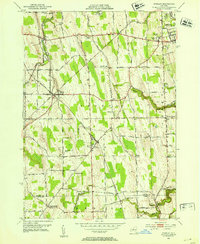 1952 Stanley1953 Print · USGSThe rail junctions of Ontario County were in full operation in the early fifties, centering on the major crossing at Stanley. Genealogists and researchers can trace the rural school districts and family landmarks like Old No 9 Ch, Bellona, and the State Agricultural Experiment Station.2 unique versions available
 - 1953 Map of Phelps, 1954 Print
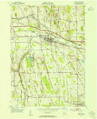 1953 Phelps1954 Print · USGSOntario County’s agricultural and transit corridors are captured here in the early fifties, just as the modern thruway was reshaping the countryside. Genealogists and historians can locate numerous family burial grounds like Westfall Cem and Joslyn Cem or trace the early footprint of the State Agricultural Experiment Station.2 unique versions available
 - 1953 Map of Geneva South, 1955 Print
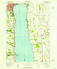 1953 Geneva South1955 Print · USGSSeneca Lake and its surrounding Finger Lakes communities are shown here in the early fifties, caught between institutional growth and military expansion. Researchers can trace local lineage through Bachman Cem or map the boundaries of the Seneca Ordnance Depot and the Colleges of the Seneca.5 unique versions available
 - 1953 Map of Geneva North, 1955 Print
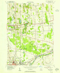 1953 Geneva North1955 Print · USGSThe northern reaches of the Finger Lakes region are captured in the early fifties, showing the transition from traditional rail-and-canal transport to the interstate era. Researchers can trace ancestral farmsteads near Dublin and Stone Church Corner or locate vanished sites like the West Junius Station.4 unique versions available
 - 1958 Map of Elmira
 1958 Elmira1958 Print · USGSThe New York Finger Lakes during the late fifties reveal a complex landscape of glacial geology and industrial growth. Researchers can trace historic transport corridors like the Erie Canal and Erie RR, or locate institutional landmarks like Cornell University.2 unique versions available
 - 1962 Map of Elmira, 1969 Print
 1962 Elmira1969 Print · USGSThe Finger Lakes region and Southern Tier are captured here during a period of industrial maturity and highway expansion. Researchers can trace the path of the Erie Canal, the footprint of the Seneca Army Depot, and legacy rail lines through Elmira and Ithaca.4 unique versions available
 - 1965 Map of Elmira
 1965 Elmira1965 Print · USGSThe Finger Lakes and Southern Tier regions are captured in the mid-sixties, showcasing a landscape of deep glacial valleys and heavy rail infrastructure. Trace old railroad corridors like the Pennsylvania RR or visit landmarks like Letchworth State Park and the Seneca Army Depot.
 - 1983 Map of Canandaigua, 1985 Print
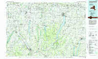 1983 Canandaigua1985 Print · USGSThe Finger Lakes and Genesee Valley appear in high detail in the early 1980s as the region's transport and academic centers reached a peak. Researchers can trace rail lines like the Lehigh Valley RR and find landmarks such as the Mount Morris Dam and Gannagaro State Historical Site.2 unique versions available
 - 1986 Map of Auburn
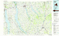 1986 Auburn1986 Print · USGSThe Finger Lakes region in the mid-eighties shows a landscape of deep glacial waters and significant military sites. Trace the layout of the Seneca Army Depot, find the campus of Wells College, and follow the historic Lehigh Valley RR lines.2 unique versions available
 - 2010 Map of Geneva South, 2010 Print
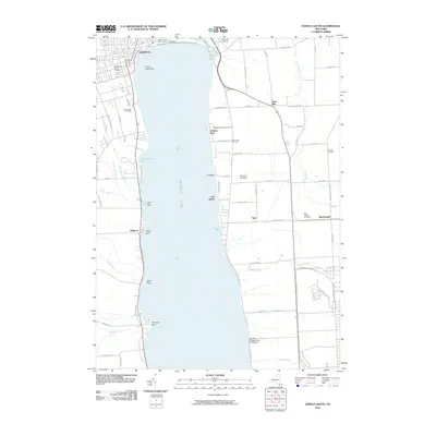 2010 Geneva South2010 Print · USGSThe southern shores of Seneca Lake and the outskirts of Geneva are captured here at the start of the 2010s. Researchers can locate family plots at Glenwood Cemetery or trace the shoreline from Glass Factory Bay past the Geneva Lighthouse to the docks at Barretts Marina.
 - 2010 Map of Phelps, 2010 Print
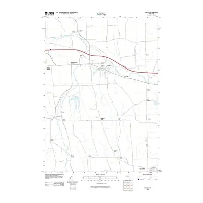 2010 Phelps2010 Print · USGSOntario County at the turn of the millennium reveals a landscape of enduring village centers and small crossroads hamlets. Genealogists and local historians can trace family-named sites like Pierson Corners or locate graves at Saint Francis Catholic Cemetery and Westfall Cemetery.
 - 2010 Map of Geneva North, 2010 Print
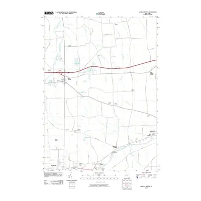 2010 Geneva North2010 Print · USGSUpper Seneca Lake and the river corridor come into focus during this modern era, showing the transition from historic farmsteads to contemporary lakeside life. Genealogists can locate nearly a dozen burial sites, including Bowdish Cemetery and Humphrey Cemetery, alongside landmarks like Parr Harbor.
 - 2010 Map of Stanley, 2010 Print
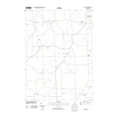 2010 Stanley2010 Print · USGSTraditional farm country west of Geneva is meticulously detailed here in the early twenty-first century. Researchers can trace rural lineages through numerous burial grounds like Saint Theresa Cemetery and old road junctions at Ferguson Corners.
 - 2013 Map of Geneva South, 2013 Print
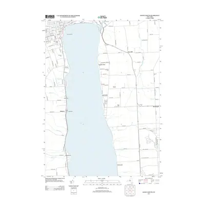 2013 Geneva South2013 Print · USGSThe southern shores of Seneca Lake come into focus during the early twenty-first century, showing the transition from college campus to rural depot. Genealogists can locate family burial sites at Willowdale Cem and W Fayette Cem or trace the perimeter of the Seneca Army Depot.
 - 2013 Map of Geneva North, 2013 Print
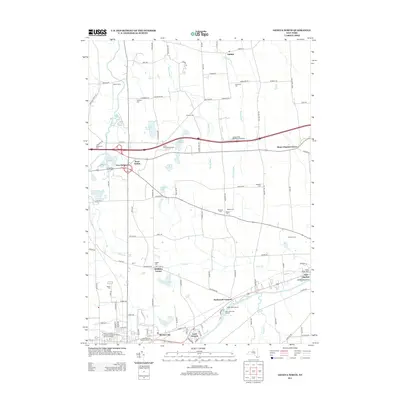 2013 Geneva North2013 Print · USGSThe northern outskirts of Geneva and the surrounding countryside are shown here as they appeared in the early twenty-first century. Researchers can trace family history through numerous burial sites like Southwick Cem or locate community landmarks such as Border City and Cottrells Farm.
 - 2013 Map of Phelps, 2013 Print
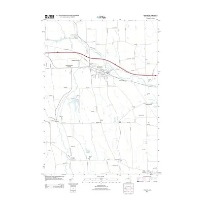 2013 Phelps2013 Print · USGSThe Phelps and Seneca Castle areas are shown here during the early twenty-first century, a landscape defined by historic farmsteads and the Canandaigua Outlet. Researchers can locate dozens of family and parish burial grounds, including Whitney Cem, Joslyn Cem, and Saint Marys Cem.
 - 2013 Map of Stanley, 2013 Print
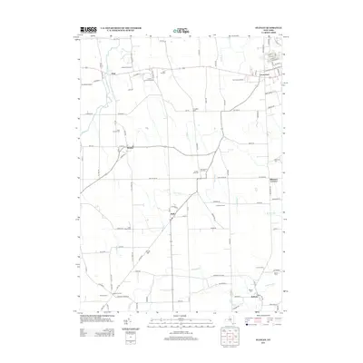 2013 Stanley2013 Print · USGSThe crossroads and orchard lands of Ontario County are captured here in the early twenty-first century. Researchers can locate family roots at Little Church Cem or trace the rural landscape from Stanley to the historic grounds of Red Jacket Orchards.
 - 2016 Map of Geneva North, 2016 Print
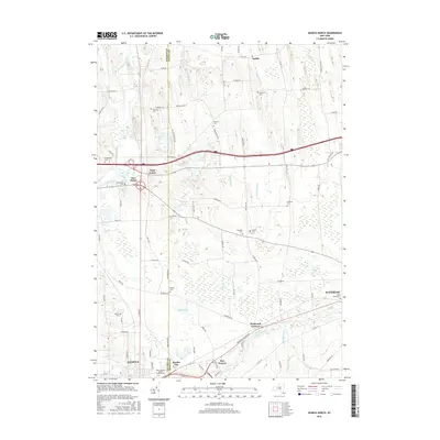 2016 Geneva North2016 Print · USGSThe Finger Lakes region near the Ontario and Seneca county line is documented here in the mid-2010s, showing the developed corridors of GENEVA and WATERLOO. Genealogists can trace numerous burial sites such as Hoffman Cemetery, Humphrey Cemetery, and Saint Marys Cemetery.
Showing maps 1-25 of 36
Top cities near Geneva
- Arcadia historical maps
- Manchester historical maps
- Seneca Falls historical maps
- Newark historical maps
- Palmyra historical maps
- Waterloo historical maps
See more
Frequently asked questions
- What are the different types of historical maps available for Geneva?
- What is the oldest map of Geneva?
- Where can I purchase historical maps of Geneva for my home or office?
- Where can I download high-res historical maps of Geneva?
- Are there historical topographic maps available for Geneva?
- Is there historical aerial imagery available for Geneva?
- Where are historical maps of Geneva sourced from?