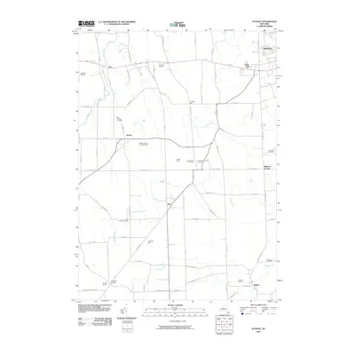
2010 Map of Stanley
USGS Topo · Published 2010About this map
Flint Creek and Kashong Creek carve through this agricultural landscape west of Geneva, where small hamlets like Stanley and Hall serve as anchors for the surrounding farm country. The map reveals a dense network of local history through its cemetery locations, including Number Nine Cemetery and New Number Nine Cemetery, alongside family-named landmarks such as Tomion Farms and Hansen Farms Landing Strip. Higher ground is marked by features like Sand Hill and Crozier Hill, while the grid of roads such as Pre Emption Rd and Lake to Lake Rd connects these rural communities. The settlement at Bellona sits at the southern edge of this survey, near where Kashong Switch Rd reflects the area's rail-oriented development. This topographic record highlights a well-established village structure maintained well into the twenty-first century.
Find a feature on this map
76 named features on this map. Tap any name to fly to it.
Don’t see what you’re looking for? This feature index may not catch every label — zoom into the map to look around manually.
Map Details
Editions of this 2010 Stanley Map
This is the sole edition of this map. No revisions or reprints were ever made.
Other maps of this area

1902 · Geneva
USGS Topo · 1:62,500

1902 · Phelps
USGS Topo · 1:62,500

1902 · Ovid
USGS Topo · 1:62,500

1903 · Penn Yan
USGS Topo · 1:62,500

1942 · Penn Yan
USGS Topo · 1:31,680

1942 · Rushville
USGS Topo · 1:31,680

1942 · Potter
USGS Topo · 1:31,680

1942 · Stanley
USGS Topo · 1:31,680

1943 · Dresden
USGS Topo · 1:31,680

1943 · Geneva North
USGS Topo · 1:31,680