Old Maps of Pumpkin Hollow, Wells for Genealogy
Trace your family roots with 15 historic maps of Pumpkin Hollow. These high-res maps reveal old neighborhoods, homesites, landmarks, and streets — helping you uncover where your ancestors lived and how the area evolved over time.
- Explore historic neighborhoods: Identify where your relatives may have lived in the 1800s or 1900s.
- Compare maps over time: Trace the changes in streets, buildings, and landmarks for multi-generational research.
- Perfect for genealogy & ancestry research: Used by family historians and researchers to map out lineage and migration.
These maps are an incredible resource for exploring your personal connection to Pumpkin Hollow's past.
Pumpkin Hollow, Wells maps
(15)- 1907 Map of Lake Pleasant
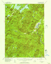
 1907 Lake Pleasant1907 Print · USGSThe Adirondack interior in the early twentieth century centered on the river-fed settlements of Wells and Lake Pleasant. Researchers can trace early post offices and remote industries like the Alvord PO and the Silver Lake Min.8 unique versions available
 - 1950 Map of Utica, 1951 Print
 1950 Utica1951 Print · USGSCentral New York in the post-war era showcases the industrial Mohawk Valley and the pristine Adirondack interior. Researchers can trace transportation networks like the New York Central Railroad and find early Cold War sites such as Griffiss Air Force Base.
 - 1954 Map of Lake Pleasant, 1957 Print
 1954 Lake Pleasant1957 Print · USGSMid-century Hamilton County comes alive in this survey of the Lake Pleasant and Sacandaga Lake wilderness. Genealogists and researchers can trace the roads to Speculator, locate the Piseco Sch, or find remote landmarks like Whitehouse.6 unique versions available
 - 1957 Map of Utica
 1957 Utica1957 Print · USGSCentral New York and the Adirondack foothills are captured here in the mid-fifties, showing a landscape defined by the Mohawk River corridor and the growing highway system. Genealogists and researchers can trace the rail lines of the New York Central and locate communities from Lowville to Gloversville.
 - 1962 Map of Utica
 1962 Utica1962 Print · USGSCentral New York and the Adirondack wilderness are captured here during the mid-century era of highway and industrial expansion. Genealogists and historians can trace the development of the New York State Thruway and local rail lines connecting Utica, Rome, and Gloversville.3 unique versions available
 - 1964 Map of Utica
 1964 Utica1964 Print · USGSCentral New York and the high wilderness of the Adirondacks are captured here during the post-war era of infrastructure expansion. Researchers can trace the development of the New York State Thruway alongside historic corridors like the Oneida Lake (Barge Canal Route) and the N. Y. Central railroad.
 - 1967 Map of Utica
 1967 Utica1967 Print · USGSCentral New York's industrial Mohawk Valley meets the Adirondack wilderness in the 1960s, showing the region's transition from manufacturing hubs to state-managed parklands. Trace historic settlements and sites like Griffiss Air Force Base, Colgate University, and the Lyons Falls Paper Mill.
 - 1985 Map of Gloversville, 1986 Print
 1985 Gloversville1986 Print · USGSThe southern Adirondacks meet the Mohawk Valley industrial corridor during the mid-eighties, showcasing a landscape of high-country lakes and riverside manufacturing towns. Trace the historical alignment of the Erie Canal and Conrail lines or locate landmarks like the Herkimer Home State Historic Site.2 unique versions available
 - 1990 Map of Three Ponds Mountain
 1990 Three Ponds Mountain1990 Print · USGSThe Adirondack wilderness in the early nineties is a landscape of high peaks and scattered outposts in Hamilton County. Genealogists and hikers can trace the paths near Upper Benson, the riverside at Whitehouse, and the historic Hell Devil Dam (Site).2 unique versions available
 - 1997 Map of Three Ponds Mountain, 1999 Print
 1997 Three Ponds Mountain1999 Print · USGSHamilton County in the late 1990s is captured as a dense wilderness of the southern Adirondacks, structured by peaks and river valleys. Researchers can trace remote sites like Hell Devil Dam (Site) or the trails near Whitehouse and Silver Lake.
 - 2010 Map of Cathead Mountain, 2010 Print
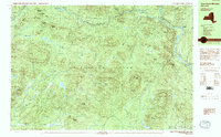
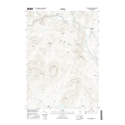
 2010 Cathead Mountain2010 Print · USGSCovers Pumpkin Hollow, including Wells, Hope, and other nearby areas
 - 2013 Map of Cathead Mountain, 2013 Print
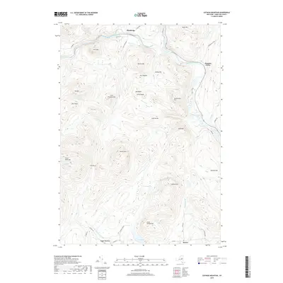
 2013 Cathead Mountain2013 Print · USGSCovers Pumpkin Hollow, including Wells, Hope, and other nearby areas
 - 2016 Map of Cathead Mountain, 2016 Print
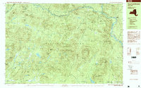
 2016 Cathead Mountain2016 Print · USGSCovers Pumpkin Hollow, including Wells, Hope, and other nearby areas
 - 2019 Map of Cathead Mountain, 2019 Print
 2019 Cathead Mountain2019 Print · USGSCovers Pumpkin Hollow, including Wells, Hope, and other nearby areas
 - 2023 Map of Cathead Mountain, 2023 Print
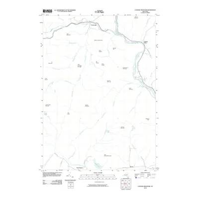
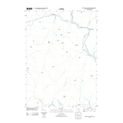
 2023 Cathead Mountain2023 Print · USGSThe Sacandaga River valley is captured here in the early twenty-first century, showing the enduring wilderness of the Adirondacks. Trace the Northville-Placid Trl past Grants Lake or locate family sites in Wells and Upper Benson.
End of results
Showing maps 1-15 of 15
Top cities near Pumpkin Hollow
- Mayfield historical maps
- Broadalbin historical maps
- Chester historical maps
- Northampton historical maps
- Johnsburg historical maps
- Providence historical maps
See more
Frequently asked questions
- What are the different types of historical maps available for Pumpkin Hollow?
- What is the oldest map of Pumpkin Hollow?
- Where can I purchase historical maps of Pumpkin Hollow for my home or office?
- Where can I download high-res historical maps of Pumpkin Hollow?
- Are there historical topographic maps available for Pumpkin Hollow?
- Is there historical aerial imagery available for Pumpkin Hollow?
- Where are historical maps of Pumpkin Hollow sourced from?