
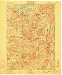
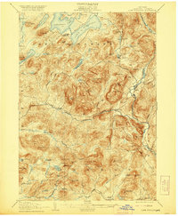
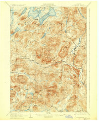
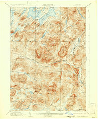
1907 Map of Lake Pleasant
USGS Topo · Published 1907About this map
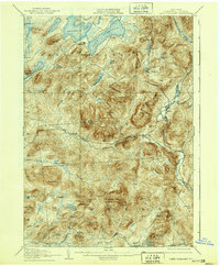
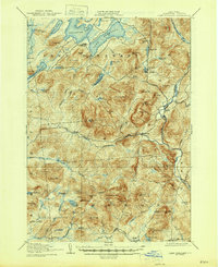
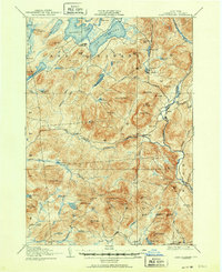
Lake Pleasant and its twin, Sacandaga Lake, anchor this high-elevation landscape in Hamilton County during the first decade of the 1900s. The settlement of Wells serves as a focal point along the Sacandaga River, while the upper reaches of the West Branch Sacandaga River flow through isolated camps at Whitehouse. The terrain is characterized by a dense concentration of named peaks, such as Hamilton Mtn and Speculator Mtn, which define the drainage basins for numerous creeks and ponds. Local history is evidenced by the presence of the Alvord PO near Charley Lake and the Silver Lake Min located deep in the southern interior near Silver Lake. This survey illustrates the Adirondack region as a network of small, river-oriented communities and early mining sites connected by a few primary roads, such as the one passing through Blackbridge.
Find a feature on this map
83 named features on this map. Tap any name to fly to it.
Don’t see what you’re looking for? This feature index may not catch every label — zoom into the map to look around manually.
Map Details
Editions of this 1907 Lake Pleasant Map
8 editions found
Other maps of this area

1898 · Thirteenth Lake
USGS Topo · 1:62,500

1899 · Indian Lake
USGS Topo · 1:62,500

1899 · Broadalbin
USGS Topo · 1:62,500

1900 · Canada Lake
USGS Topo · 1:62,500

1901 · Lassellsville
USGS Topo · 1:62,500

1902 · Broadalbin
USGS Topo · 1:62,500

1902 · Indian Lake
USGS Topo · 1:62,500

1903 · West Canada Lakes
USGS Topo · 1:62,500

1903 · Gloversville
USGS Topo · 1:62,500

1903 · Lassellsville
USGS Topo · 1:62,500