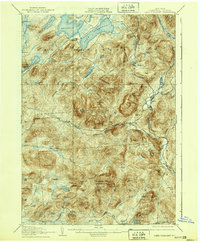
1907 Map of Lake Pleasant
USGS Topo · Published 1939About this map
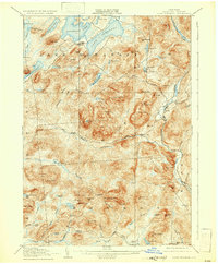
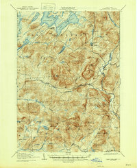
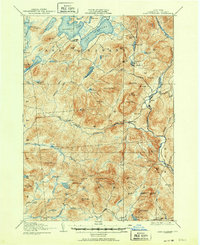
The West Branch Sacandaga River carves through the heart of this Southern Adirondack landscape, which remained a dense network of mountain peaks and isolated settlements at the dawn of the twentieth century. Early communities like Speculator and Lake Pleasant serve as anchors in the north, while the village of Wells sits along the eastern edge. For genealogists, the map preserves the locations of vanished post offices and small hamlets such as Alvord PO and Gilmantown.
Find a feature on this map
89 named features on this map. Tap any name to fly to it.
Don’t see what you’re looking for? This feature index may not catch every label — zoom into the map to look around manually.
Map Details
Editions of this 1907 Lake Pleasant Map
8 editions found

Other maps of this area

1898 · Thirteenth Lake
USGS Topo · 1:62,500

1899 · Indian Lake
USGS Topo · 1:62,500

1899 · Broadalbin
USGS Topo · 1:62,500

1900 · Canada Lake
USGS Topo · 1:62,500

1901 · Lassellsville
USGS Topo · 1:62,500

1902 · Broadalbin
USGS Topo · 1:62,500

1902 · Indian Lake
USGS Topo · 1:62,500

1903 · West Canada Lakes
USGS Topo · 1:62,500

1903 · Gloversville
USGS Topo · 1:62,500

1903 · Lassellsville
USGS Topo · 1:62,500