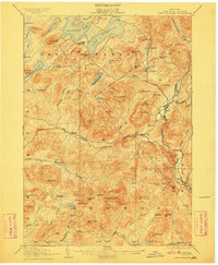
1907 Map of Lake Pleasant
USGS Topo · Published 1911About this map
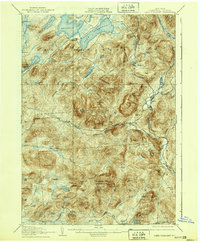
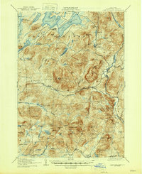
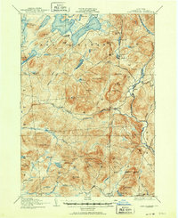
Speculator and the surrounding Adirondack highlands are captured in this 1907 survey, showing the region before modern development reshaped these mountain communities. The landscape is defined by the convergence of major water bodies like Sacandaga Lake and Lake Pleasant, with early twentieth-century settlements like Gilmantown and Alvord PO serving as localized hubs for residents and travelers. The mapping includes specific human infrastructure such as Blackbridge and the intriguingly named Helldevil Dam, illustrating how water management and crossings dictated movement through the steep terrain.
Find a feature on this map
85 named features on this map. Tap any name to fly to it.
Don’t see what you’re looking for? This feature index may not catch every label — zoom into the map to look around manually.
Map Details
Editions of this 1907 Lake Pleasant Map
8 editions found

Other maps of this area

1898 · Thirteenth Lake
USGS Topo · 1:62,500

1899 · Indian Lake
USGS Topo · 1:62,500

1899 · Broadalbin
USGS Topo · 1:62,500

1900 · Canada Lake
USGS Topo · 1:62,500

1901 · Lassellsville
USGS Topo · 1:62,500

1902 · Broadalbin
USGS Topo · 1:62,500

1902 · Indian Lake
USGS Topo · 1:62,500

1903 · West Canada Lakes
USGS Topo · 1:62,500

1903 · Gloversville
USGS Topo · 1:62,500

1903 · Lassellsville
USGS Topo · 1:62,500