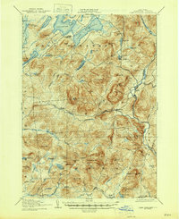
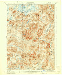
1907 Map of Lake Pleasant
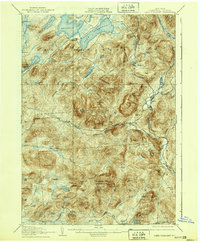
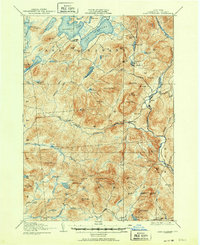
USGS Topo · Published 1946About this map
Sacandaga Lake and Lake Pleasant dominate the northern landscape of this Hamilton County terrain, surveyed just after the turn of the century. The region is defined by the headwaters and tributaries of the Sacandaga River, including the West Branch Sacandaga River and Elbow Creek. Small pockets of early settlement are scattered throughout the mountain passes, including the Alvord PO near Charley Lake and the community of Whitehouse along the riverbanks.
Find a feature on this map
83 named features on this map. Tap any name to fly to it.
Don’t see what you’re looking for? This feature index may not catch every label — zoom into the map to look around manually.
Map Details
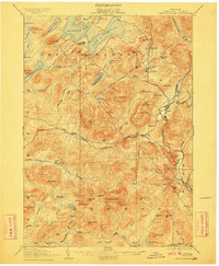
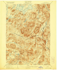
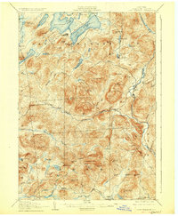
Editions of this 1907 Lake Pleasant Map
8 editions found

Other maps of this area

1898 · Thirteenth Lake
USGS Topo · 1:62,500

1899 · Indian Lake
USGS Topo · 1:62,500

1899 · Broadalbin
USGS Topo · 1:62,500

1900 · Canada Lake
USGS Topo · 1:62,500

1901 · Lassellsville
USGS Topo · 1:62,500

1902 · Broadalbin
USGS Topo · 1:62,500

1902 · Indian Lake
USGS Topo · 1:62,500

1903 · West Canada Lakes
USGS Topo · 1:62,500

1903 · Gloversville
USGS Topo · 1:62,500

1903 · Lassellsville
USGS Topo · 1:62,500