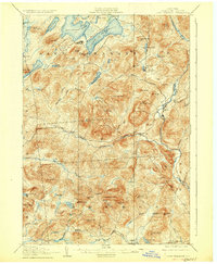
1907 Map of Lake Pleasant
USGS Topo · Published 1926About this map
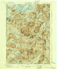
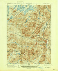
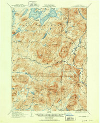
Lake Pleasant and its namesake settlement serve as the northern anchor of this Adirondack terrain during a period of early twentieth-century survey. The landscape is defined by the complex hydrology of the Sacandaga River and its West Branch Sacandaga River, which flow through a corridor of significant peaks such as Speculator Mtn and Hamilton Mtn. Scattered across the southeastern portion of the map are the small communities of Gilmantown and Wells, along with the Alvord PO station.
Find a feature on this map
78 named features on this map. Tap any name to fly to it.
Don’t see what you’re looking for? This feature index may not catch every label — zoom into the map to look around manually.
Map Details
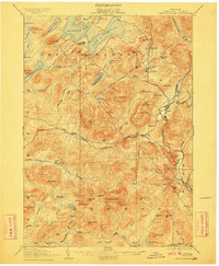
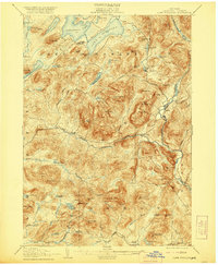
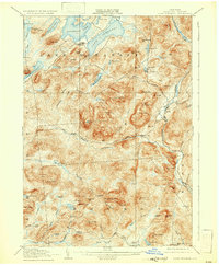
Editions of this 1907 Lake Pleasant Map
8 editions found

Other maps of this area

1898 · Thirteenth Lake
USGS Topo · 1:62,500

1899 · Indian Lake
USGS Topo · 1:62,500

1899 · Broadalbin
USGS Topo · 1:62,500

1900 · Canada Lake
USGS Topo · 1:62,500

1901 · Lassellsville
USGS Topo · 1:62,500

1902 · Broadalbin
USGS Topo · 1:62,500

1902 · Indian Lake
USGS Topo · 1:62,500

1903 · West Canada Lakes
USGS Topo · 1:62,500

1903 · Gloversville
USGS Topo · 1:62,500

1903 · Lassellsville
USGS Topo · 1:62,500