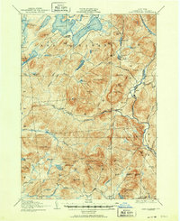
1907 Map of Lake Pleasant
USGS Topo · Published 1951About this map
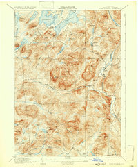
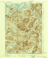
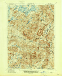
Lake Pleasant and Sacandaga Lake dominate the northern landscape of this Hamilton County interior, where early 20th-century Adirondack settlements were defined by their proximity to water and mountain passes. The survey documents a network of isolated hamlets and post offices, including the village of Speculator, the community of Wells, and the remote Alvord P O. The topography is defined by high peaks such as Speculator Mtn and Cathead Mtn, while the West Branch Sacandaga River snakes through the central valleys. This era shows a transition from a wilderness economy toward one of early recreation and seasonal residence, evidenced by landmarks like Old Blackbridge and various camps near Silver Lake. The mapping captures the intricate drainage patterns of the Hamilton Lake Stream and Silver Lake Outlet before mid-century developments altered the local character.
Find a feature on this map
94 named features on this map. Tap any name to fly to it.
Don’t see what you’re looking for? This feature index may not catch every label — zoom into the map to look around manually.
Map Details
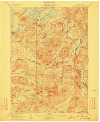
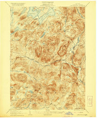
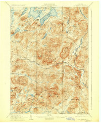
Editions of this 1907 Lake Pleasant Map
8 editions found

Other maps of this area

1898 · Thirteenth Lake
USGS Topo · 1:62,500

1899 · Indian Lake
USGS Topo · 1:62,500

1899 · Broadalbin
USGS Topo · 1:62,500

1900 · Canada Lake
USGS Topo · 1:62,500

1901 · Lassellsville
USGS Topo · 1:62,500

1902 · Broadalbin
USGS Topo · 1:62,500

1902 · Indian Lake
USGS Topo · 1:62,500

1903 · West Canada Lakes
USGS Topo · 1:62,500

1903 · Gloversville
USGS Topo · 1:62,500

1903 · Lassellsville
USGS Topo · 1:62,500