2000s (21st Century) Maps of Depauville, Clayton
Explore 15 historic maps of Depauville from the 2000s (21st Century). These maps offer a rare glimpse into what life looked like during the 2000s — showing old roads, neighborhoods, homes, and landmarks that have changed or disappeared over time.
Whether you're researching your family's past, planning a metal detecting trip, or studying how Depauville's landscape evolved across the 2000s, these high-resolution maps are a powerful tool for exploring the history of this region.
- Focus on a specific era: All maps on this page are from the 2000s, giving you a focused view of this time period.
- See what’s changed: Compare century-old streets, trails, and buildings to today's modern landscape using overlays and satellite layers.
- Research with precision: Use these maps for genealogy, historical research, land use analysis, or educational projects.
- View, download, or print: Maps are fully viewable online in high resolution, and can be downloaded or printed for your own records.
Start exploring Depauville's history through authentic maps from the 2000s. This is your window into the past.
Depauville, Clayton maps
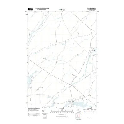
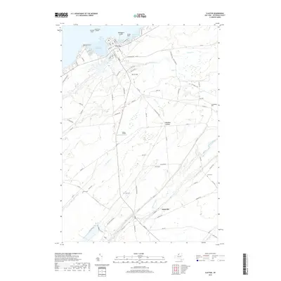
(15)- 2010 Map of Clayton, 2010 Print
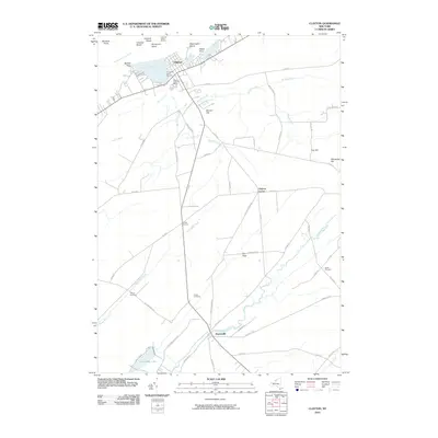 2010 Clayton2010 Print · USGSCovers Depauville, including Clayton, Orleans, and other nearby areas
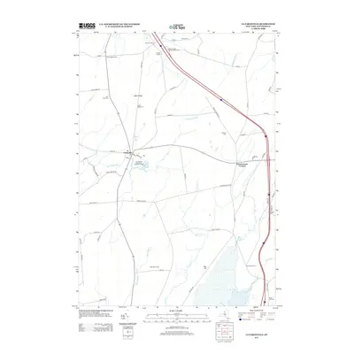
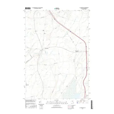
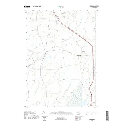
 - 2010 Map of La Fargeville, 2010 Print
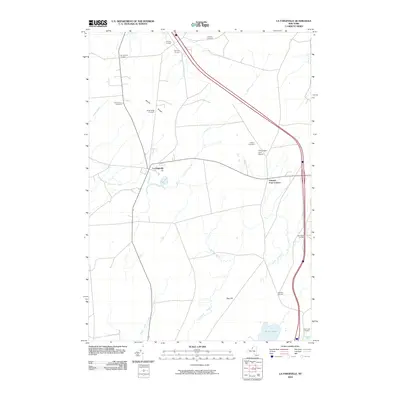 2010 La Fargeville2010 Print · USGSCovers Depauville, including Le Ray, Clayton, and other nearby areas
 - 2010 Map of Dexter, 2010 Print
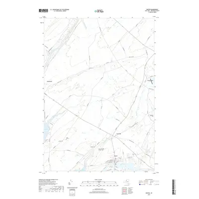
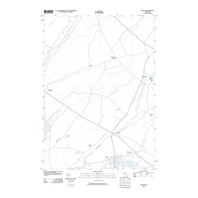 2010 Dexter2010 Print · USGSCovers Depauville, including Brownville, Clayton, and other nearby areas
 - 2013 Map of Clayton, 2013 Print
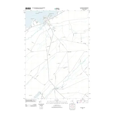 2013 Clayton2013 Print · USGSCovers Depauville, including Clayton, Orleans, and other nearby areas
 - 2013 Map of Dexter, 2013 Print
 2013 Dexter2013 Print · USGSCovers Depauville, including Brownville, Clayton, and other nearby areas
 - 2013 Map of La Fargeville, 2013 Print
 2013 La Fargeville2013 Print · USGSCovers Depauville, including Le Ray, Clayton, and other nearby areas
 - 2016 Map of Clayton, 2016 Print
 2016 Clayton2016 Print · USGSCovers Depauville, including Clayton, Orleans, and other nearby areas
 - 2016 Map of Dexter, 2016 Print
 2016 Dexter2016 Print · USGSCovers Depauville, including Brownville, Clayton, and other nearby areas
 - 2016 Map of La Fargeville, 2016 Print
 2016 La Fargeville2016 Print · USGSCovers Depauville, including Le Ray, Clayton, and other nearby areas
 - 2019 Map of La Fargeville, 2019 Print
 2019 La Fargeville2019 Print · USGSCovers Depauville, including Le Ray, Clayton, and other nearby areas
 - 2019 Map of Dexter, 2019 Print
 2019 Dexter2019 Print · USGSCovers Depauville, including Brownville, Clayton, and other nearby areas
 - 2019 Map of Clayton, 2019 Print
 2019 Clayton2019 Print · USGSCovers Depauville, including Clayton, Orleans, and other nearby areas
 - 2023 Map of Dexter, 2023 Print
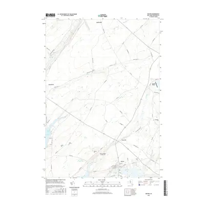
 2023 Dexter2023 Print · USGSJefferson County's shoreline and river valleys come into focus in this contemporary survey of the Lake Ontario coast. Genealogists can trace family landmarks like Luther Hill Cem and Freeman Cem or explore the area around Limerick.
 - 2023 Map of Clayton, 2023 Print
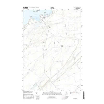
 2023 Clayton2023 Print · USGSJefferson County's northern riverfront and rural interior are captured here in the early twenty-first century. Genealogists and local historians can locate several family burial grounds, including Weaver Cem and Dutch Cem, alongside the village of Depauville.
 - 2023 Map of La Fargeville, 2023 Print
 2023 La Fargeville2023 Print · USGSThe rural crossroads of Jefferson County are captured in this modern survey of the La Fargeville area. Researchers can trace local lineage through numerous burial grounds like Beech Ridge Cem and Grove Cem, or locate landmarks along the Chaumont River.
End of results
Showing maps 1-15 of 15
Top cities near Depauville
- Le Ray historical maps
- Watertown historical maps
- Watertown historical maps
- Brownville historical maps
- Clayton historical maps
- Alexandria historical maps
See more
Frequently asked questions
- What are the different types of historical maps available for Depauville?
- What is the oldest map of Depauville?
- Where can I purchase historical maps of Depauville for my home or office?
- Where can I download high-res historical maps of Depauville?
- Are there historical topographic maps available for Depauville?
- Is there historical aerial imagery available for Depauville?
- Where are historical maps of Depauville sourced from?