Old Maps of Lyonsdale, New York for Genealogy
Trace your family roots with 45 historic maps of Lyonsdale. These high-res maps reveal old neighborhoods, homesites, landmarks, and streets — helping you uncover where your ancestors lived and how the area evolved over time.
- Explore historic neighborhoods: Identify where your relatives may have lived in the 1800s or 1900s.
- Compare maps over time: Trace the changes in streets, buildings, and landmarks for multi-generational research.
- Perfect for genealogy & ancestry research: Used by family historians and researchers to map out lineage and migration.
These maps are an incredible resource for exploring your personal connection to Lyonsdale's past.
Lyonsdale, NY maps
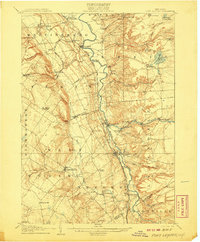
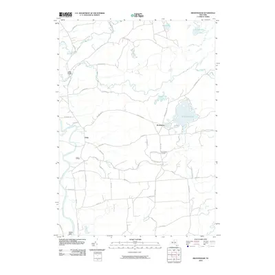
(45)- 1905 Map of Port Leyden
 1905 Port Leyden1905 Print · USGSLewis County at the start of the twentieth century shows a landscape shaped by the Black River Canal and burgeoning timber railroads. Genealogists and historians can trace riverside industry at Goulds Mill, the remote settlement of Partridgeville, and the transit hub at Leyden Station PO.2 unique versions available
 - 1907 Map of Port Leyden
 1907 Port Leyden1907 Print · USGSPort Leyden and the Black River valley are shown here just after the turn of the century as industrial hubs and transit corridors. Researchers can trace the path of the Black River Canal and find long-standing hamlets like Constableville and Goulds Mill.6 unique versions available
 - 1912 Map of Mc Keever
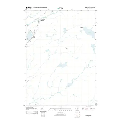
 1912 Mc Keever1912 Print · USGSThe southwestern Adirondack wilderness comes into focus in this early twentieth-century survey, showcasing the arrival of the railroad in a landscape of logging camps. Genealogists and researchers can trace the development of Mc Keever and locate family-named sites like Millard's Camp, Porters Corners, and Becks Camp.8 unique versions available
 - 1940 Map of Port Leyden
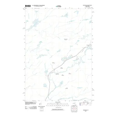
 1940 Port Leyden1940 Print · USGSUpper Lewis County at the start of the 1940s reveals a landscape shaped by the BLACK RIVER and the rail industry. Researchers can trace historic homesteads near Constableville, industrial sites at Goulds Mill, and the riverside Leyden Station PO.
 - 1950 Map of Utica, 1951 Print
 1950 Utica1951 Print · USGSCentral New York in the post-war era showcases the industrial Mohawk Valley and the pristine Adirondack interior. Researchers can trace transportation networks like the New York Central Railroad and find early Cold War sites such as Griffiss Air Force Base.
 - 1957 Map of Utica
 1957 Utica1957 Print · USGSCentral New York and the Adirondack foothills are captured here in the mid-fifties, showing a landscape defined by the Mohawk River corridor and the growing highway system. Genealogists and researchers can trace the rail lines of the New York Central and locate communities from Lowville to Gloversville.
 - 1958 Map of Mc Keever, 1960 Print
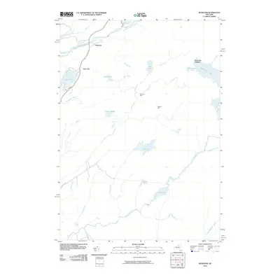
 1958 Mc Keever1960 Print · USGSThe Herkimer and Oneida county lines meet in the heart of the Adirondacks during the late fifties, where rail lines and river branches shaped the local economy. Genealogists can locate family-named sites like Hubbards and Porters Corners or trace the New York Central through Minnehaha.4 unique versions available
 - 1962 Map of Utica
 1962 Utica1962 Print · USGSCentral New York and the Adirondack wilderness are captured here during the mid-century era of highway and industrial expansion. Genealogists and historians can trace the development of the New York State Thruway and local rail lines connecting Utica, Rome, and Gloversville.3 unique versions available
 - 1964 Map of Utica
 1964 Utica1964 Print · USGSCentral New York and the high wilderness of the Adirondacks are captured here during the post-war era of infrastructure expansion. Researchers can trace the development of the New York State Thruway alongside historic corridors like the Oneida Lake (Barge Canal Route) and the N. Y. Central railroad.
 - 1966 Map of Port Leyden, 1970 Print
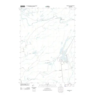
 1966 Port Leyden1970 Print · USGSThe Black River valley in the mid-sixties reveals a landscape of paper-milling heritage and rail-side villages. Researchers can trace family history through sites like Wildwood Cem, Goulds Mill, and the many churches of Port Leyden and Lyons Falls.2 unique versions available
 - 1966 Map of Brantingham, 1970 Print
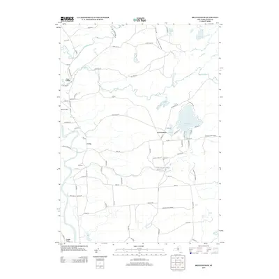
 1966 Brantingham1970 Print · USGSThe Adirondack foothills in the mid-1960s reveal a landscape of seasonal lake retreats and quiet river valley settlements. You can trace family history at St Thomas Ch or explore the recreational history of Singing Waters Park and Brantingham Lake.3 unique versions available
 - 1967 Map of Utica
 1967 Utica1967 Print · USGSCentral New York's industrial Mohawk Valley meets the Adirondack wilderness in the 1960s, showing the region's transition from manufacturing hubs to state-managed parklands. Trace historic settlements and sites like Griffiss Air Force Base, Colgate University, and the Lyons Falls Paper Mill.
 - 1985 Map of Watertown, 1986 Print
 1985 Watertown1986 Print · USGSThe Black River Valley and the western Adirondacks are captured here in the mid-1980s, from the urban streets of Watertown to the remote Stillwater Reservoir. Researchers can trace the Conrail lines through Carthage or locate family landmarks in Lowville, Boonville, and Old Forge.2 unique versions available
 - 1989 Map of Thendara
 1989 Thendara1989 Print · USGSThe western Adirondacks in the late 1980s are preserved here in detail, showing a landscape defined by forest and water. Researchers can trace the layout of Thendara, locate the remote Middle Settlement Lake, or study the peaks of Moose River Mountain.2 unique versions available
 - 1989 Map of Mc Keever
 1989 Mc Keever1989 Print · USGSThe southwestern Adirondack wilderness is captured here in the late twentieth century, showing a landscape of summer camps and deep forests. Researchers can trace the layouts of Masonic Home Camp, Camp Nazareth, and the remote Wolf Lake Landing along Woodhull Lake.
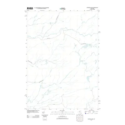
 - 2010 Map of Copper Lake, 2010 Print
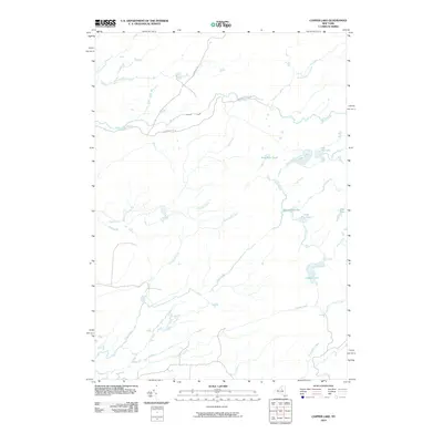 2010 Copper Lake2010 Print · USGSCovers Lyonsdale, including Webb, Greig, and other nearby areas
 - 2010 Map of Port Leyden, 2010 Print
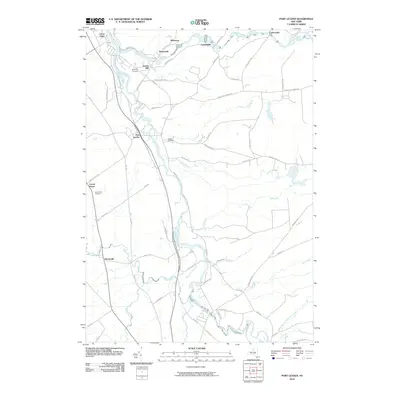 2010 Port Leyden2010 Print · USGSCovers Lyonsdale, including Boonville, West Turin, and other nearby areas
 - 2010 Map of Woodgate, 2010 Print
 2010 Woodgate2010 Print · USGSCovers Lyonsdale, including Boonville, Forestport, and other nearby areas
 - 2010 Map of Brantingham, 2010 Print
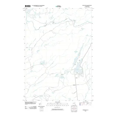
 2010 Brantingham2010 Print · USGSCovers Lyonsdale, including Watson, West Turin, and other nearby areas
 - 2010 Map of McKeever, 2010 Print
 2010 McKeever2010 Print · USGSCovers Lyonsdale, including Webb, Forestport, and other nearby areas
 - 2010 Map of Thendara, 2010 Print
 2010 Thendara2010 Print · USGSCovers Lyonsdale, including Webb, Greig, and other nearby areas
 - 2013 Map of Copper Lake, 2013 Print
 2013 Copper Lake2013 Print · USGSCovers Lyonsdale, including Webb, Greig, and other nearby areas
 - 2013 Map of McKeever, 2013 Print
 2013 McKeever2013 Print · USGSCovers Lyonsdale, including Webb, Forestport, and other nearby areas
 - 2013 Map of Brantingham, 2013 Print
 2013 Brantingham2013 Print · USGSCovers Lyonsdale, including Watson, West Turin, and other nearby areas
 - 2013 Map of Woodgate, 2013 Print
 2013 Woodgate2013 Print · USGSCovers Lyonsdale, including Boonville, Forestport, and other nearby areas
Showing maps 1-25 of 45
Top cities near Lyonsdale
- Lee historical maps
- Lowville historical maps
- Boonville historical maps
- Lowville historical maps
- New Bremen historical maps
- Russia historical maps
See more
Top neighborhoods of Lyonsdale
- Fowlersville historical maps
- Goulds Mill historical maps
- Shuetown historical maps
- Kosterville historical maps
- Moose River historical maps
Frequently asked questions
- What are the different types of historical maps available for Lyonsdale?
- What is the oldest map of Lyonsdale?
- Where can I purchase historical maps of Lyonsdale for my home or office?
- Where can I download high-res historical maps of Lyonsdale?
- Are there historical topographic maps available for Lyonsdale?
- Is there historical aerial imagery available for Lyonsdale?
- Where are historical maps of Lyonsdale sourced from?