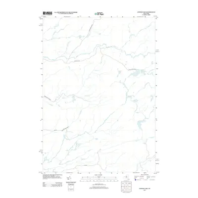
2013 Map of Copper Lake
USGS Topo · Published 2013About this map
The Adirondack Park Preserve defines this landscape in Herkimer County, showing a complex network of waterways and remote ponds as they appeared in 2013. The map is centered on an intricate drainage system where Otter Cr and Fish Cr meander through the protected forest. This area is characterized by its glacial topography, featuring numerous small bodies of water such as West Pine Pond, Pine Lake, and the namesake Copper Lake. While the terrain is largely undeveloped, a few primary access points are visible, including Partridgeville Rd in the north and Abbey Rd to the southwest. These corridors provide the only significant land-based navigation through a territory otherwise dominated by names like Drunkard Cr and Tommy Roaring Cr, illustrating the rugged, water-heavy character of this portion of the Adirondacks.
Find a feature on this map
22 named features on this map. Tap any name to fly to it.
Don’t see what you’re looking for? This feature index may not catch every label — zoom into the map to look around manually.
Map Details
Editions of this 2013 Copper Lake Map
This is the sole edition of this map. No revisions or reprints were ever made.
Other maps of this area

1905 · Port Leyden
USGS Topo · 1:62,500

1907 · Port Leyden
USGS Topo · 1:62,500

1911 · Lowville
USGS Topo · 1:62,500

1912 · Number Four
USGS Topo · 1:62,500

1912 · Mc Keever
USGS Topo · 1:62,500

1913 · Lowville
USGS Topo · 1:62,500

1915 · Number Four
USGS Topo · 1:62,500

1940 · Port Leyden
USGS Topo · 1:62,500

1950 · Utica
USGS Topo · 1:250,000

1957 · Utica
USGS Topo · 1:250,000