Old Maps of Chittenango, Sullivan for Hiking & Exploration
Hike through history with 24 historic maps of Chittenango. Explore old trails, ghost towns, and forgotten backroads — perfect for outdoor adventurers and local explorers.
- Rediscover forgotten places: Map out old mining camps, roads, and footpaths that no longer exist on modern maps.
- Layer with modern tools: Combine with LiDAR or satellite views to plan hikes through historical terrain.
- Made for exploration: Popular among hikers, overlanders, and local history lovers.
Use these maps to find adventure and explore the hidden past of Chittenango.
Chittenango, Sullivan maps
(24)- 1895 Map of Chittenango
 1895 Chittenango1895 Print · USGSMadison County and the southern shores of Oneida Lake are shown here at the height of the canal and rail era. Researchers can trace the path of the Erie Canal through Chittenango and Canastota or locate vanished sites like Fyler Settlement.
 - 1898 Map of Chittenango
 1898 Chittenango1898 Print · USGSThe northern shore of Oneida Lake and the bustling Erie Canal corridor are captured here during the peak of New York's rail expansion. Researchers can trace the original canal path through Chittenango or locate vanished stops along the West Shore R. R. and Elmira and Cortland Br.
 - 1902 Map of Chittenango
 1902 Chittenango1902 Print · USGSMadison and Onondaga Counties are shown at a peak of rail and canal activity in the early 1900s. Genealogists and historians can trace the path of the Erie Canal through Canastota or locate smaller locales like Fyler Settlement and Quality Hill.7 unique versions available
 - 1943 Map of Manlius
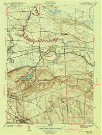 1943 Manlius1943 Print · USGSOnondaga County in the early 1940s reveals a landscape where historic waterways meet modern rail and air infrastructure. Researchers can trace the paths of the Old Erie Canal, locate the Manlius Academy, and explore rural sites like Fyler Settlement.2 unique versions available
 - 1946 Map of Canastota
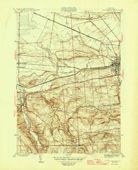 1946 Canastota1946 Print · USGSMadison County at the close of the war reveals a landscape shaped by three generations of canal and rail transit. Genealogists and local historians can trace the paths of the Old Erie (Abandoned) Canal and the Lehigh Valley railroad near Chittenango and Perryville.2 unique versions available
 - 1950 Map of Utica, 1951 Print
 1950 Utica1951 Print · USGSCentral New York in the post-war era showcases the industrial Mohawk Valley and the pristine Adirondack interior. Researchers can trace transportation networks like the New York Central Railroad and find early Cold War sites such as Griffiss Air Force Base.
 - 1957 Map of Utica
 1957 Utica1957 Print · USGSCentral New York and the Adirondack foothills are captured here in the mid-fifties, showing a landscape defined by the Mohawk River corridor and the growing highway system. Genealogists and researchers can trace the rail lines of the New York Central and locate communities from Lowville to Gloversville.
 - 1957 Map of Canastota, 1959 Print
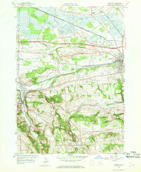 1957 Canastota1959 Print · USGSMadison County in the late fifties shows a landscape shaped by water and iron, from the valley floor to the southern uplands. Researchers can trace the dual paths of the Erie Canal and New York Central Railroad through Canastota and Chittenango Springs.3 unique versions available
 - 1957 Map of Manlius, 1959 Print
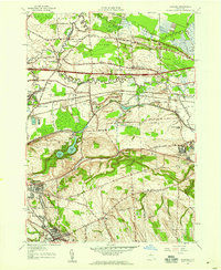 1957 Manlius1959 Print · USGSCentral New York is captured here during the mid-century suburban expansion across the Onondaga and Madison county line. You can trace the remnants of the Old Erie Canal alongside the New York State Thruway and find vanished local landmarks like Bennett Airport and Fyler Settlement.2 unique versions available
 - 1962 Map of Utica
 1962 Utica1962 Print · USGSCentral New York and the Adirondack wilderness are captured here during the mid-century era of highway and industrial expansion. Genealogists and historians can trace the development of the New York State Thruway and local rail lines connecting Utica, Rome, and Gloversville.3 unique versions available
 - 1964 Map of Utica
 1964 Utica1964 Print · USGSCentral New York and the high wilderness of the Adirondacks are captured here during the post-war era of infrastructure expansion. Researchers can trace the development of the New York State Thruway alongside historic corridors like the Oneida Lake (Barge Canal Route) and the N. Y. Central railroad.
 - 1967 Map of Utica
 1967 Utica1967 Print · USGSCentral New York's industrial Mohawk Valley meets the Adirondack wilderness in the 1960s, showing the region's transition from manufacturing hubs to state-managed parklands. Trace historic settlements and sites like Griffiss Air Force Base, Colgate University, and the Lyons Falls Paper Mill.
 - 1973 Map of Manlius, 1975 Print
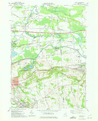 1973 Manlius1975 Print · USGSOnondaga County in the early seventies shows the intersection of historic canal routes and modern suburban growth. Genealogists and historians can locate family landmarks like Fyler Settlement, Tuscarora Cem, and the path of the Old Erie Canal.4 unique versions available
 - 1985 Map of Utica, 1986 Print
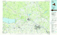 1985 Utica1986 Print · USGSThe Mohawk Valley in the mid-eighties shows a landscape of industrial river cities and high-tech military hubs before the post-Cold War transition. Trace the development of Rome and Utica, the operations at Griffiss Air Force Base, and the lakeside activity at Oneida Lake.2 unique versions available
 - 2010 Map of Manlius, 2010 Print
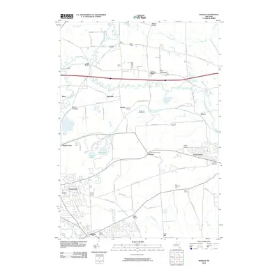 2010 Manlius2010 Print · USGSOnondaga County's suburban and rural transitions are documented here at the turn of the decade. Researchers can trace historic burial sites and family lands including the Mycenae Burial Ground, Fyler Settlement, and Gates Homestead Farms.
 - 2010 Map of Canastota, 2010 Print
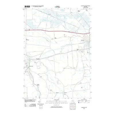 2010 Canastota2010 Print · USGSMadison County in the early 2000s reveals a patchwork of established villages and quiet crossroads. Trace family history through Oakwood Cemetery or explore the rural topography near Lillies Pinnacle and the headwaters of Canaseraga Creek.
 - 2013 Map of Canastota, 2013 Print
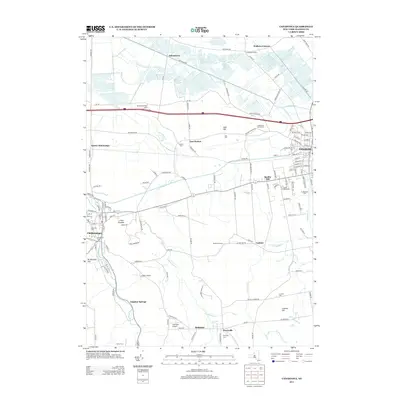 2013 Canastota2013 Print · USGSSullivan and Madison County's agricultural heartland is captured here in the early twenty-first century, spanning from the village of Canastota to Chittenango. Researchers can trace family history through sites like Oakwood Cem, the cascading Perryville Falls, and old hamlets like Oniontown and Quality Hill.
 - 2013 Map of Manlius, 2013 Print
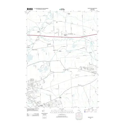 2013 Manlius2013 Print · USGSThe village of Manlius and the surrounding Onondaga County countryside are captured here just after the turn of the millennium. Genealogists and historians can locate numerous family burial sites and rural settlements like Fyler Settlement, Gates Cem, and the Poolsbrook Aerodrome.
 - 2016 Map of Manlius, 2016 Print
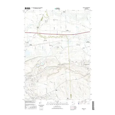 2016 Manlius2016 Print · USGSThe eastern suburbs of Syracuse meet the rural edge of the Finger Lakes region in the twenty-tens. Genealogists and local historians can trace family plots at the Anguish Family Cem or locate the site of the Poolsbrook Aerodrome.
 - 2016 Map of Canastota, 2016 Print
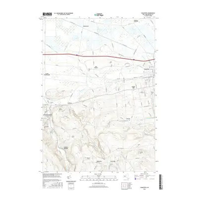 2016 Canastota2016 Print · USGSMadison County settlements like Canastota and Chittenango are shown here in the mid-2010s as the landscape shifts from low-lying northern plains into the southern hills. Researchers can locate local landmarks like Lillies Pinnacle, Perryville Falls, and numerous burial grounds including Lenox Rural Cem.
 - 2019 Map of Canastota, 2019 Print
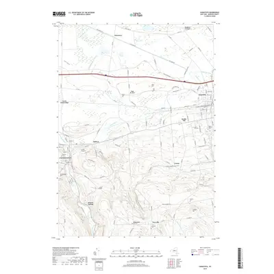 2019 Canastota2019 Print · USGSMadison County at the turn of the decade displays its transition from fertile valley lowlands to the southern hills. Local researchers can pinpoint family burial sites like Sullivan Cemetery or trace the path of the N Country National Scenic Trail through Cottons.
 - 2019 Map of Manlius, 2019 Print
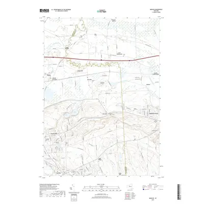 2019 Manlius2019 Print · USGSManlius and Chittenango are shown here in the late 2010s, surrounded by a high density of ancestral burial grounds and historic hamlets. Genealogists can locate family-named sites like Anguish Family Cem and the settlement at Fyler Settlement.
 - 2023 Map of Canastota, 2023 Print
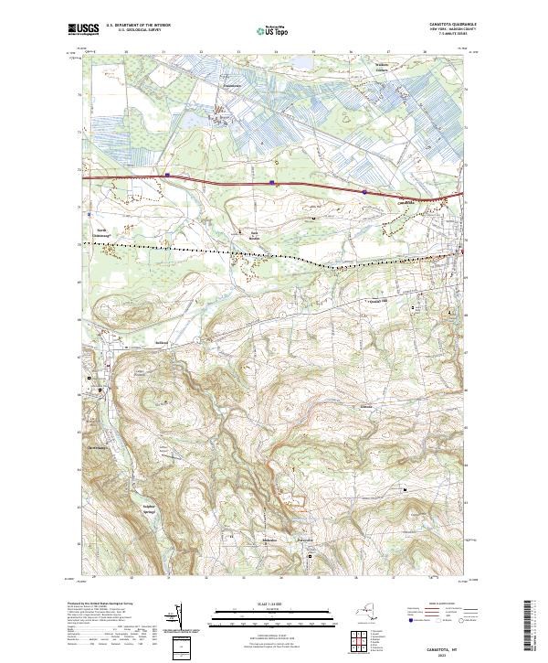 2023 Canastota2023 Print · USGSMadison County hamlets and villages are documented here in 2023, from the canalside history of Canastota to the upland slopes of Perryville. Genealogists and historians can trace local family landmarks like Allis Hill and several rural burial grounds, including Oakwood Cem and Harrington Cem.
 - 2023 Map of Manlius, 2023 Print
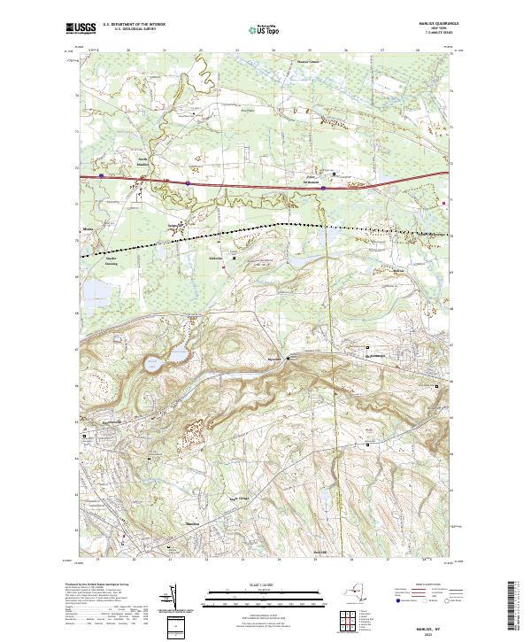 2023 Manlius2023 Print · USGSCentral New York at the start of the 2020s shows a landscape of suburban growth layered over deep agricultural roots. Genealogists can locate family burial sites like Anguish Family Cem, while historians can trace old routes like the Genesee Tpke and Fyler Settlement.
End of results
Showing maps 1-24 of 24
Top cities near Chittenango
- Syracuse historical maps
- Manlius historical maps
- Rome historical maps
- Cicero historical maps
- De Witt historical maps
- DeWitt historical maps
See more
Frequently asked questions
- What are the different types of historical maps available for Chittenango?
- What is the oldest map of Chittenango?
- Where can I purchase historical maps of Chittenango for my home or office?
- Where can I download high-res historical maps of Chittenango?
- Are there historical topographic maps available for Chittenango?
- Is there historical aerial imagery available for Chittenango?
- Where are historical maps of Chittenango sourced from?