Old Maps of North Chittenango, Sullivan for Academic Research
Study the evolution of North Chittenango with 16 high-resolution historic maps. Whether you're teaching, researching, or modeling changes in land use, these maps provide essential visual documentation of urban, environmental, and geographic change.
- Analyze long-term change: Track patterns in development, transportation, and natural features.
- Ideal for environmental or urban studies: Support academic projects with primary historical map data.
- Use in the classroom or lab: Educators and researchers rely on these maps to bring historical context to life.
These maps are a powerful tool for teaching, research, and visualizing how North Chittenango has changed over the decades.
North Chittenango, Sullivan maps
(16)- 1895 Map of Chittenango
 1895 Chittenango1895 Print · USGSMadison County and the southern shores of Oneida Lake are shown here at the height of the canal and rail era. Researchers can trace the path of the Erie Canal through Chittenango and Canastota or locate vanished sites like Fyler Settlement.
 - 1898 Map of Chittenango
 1898 Chittenango1898 Print · USGSThe northern shore of Oneida Lake and the bustling Erie Canal corridor are captured here during the peak of New York's rail expansion. Researchers can trace the original canal path through Chittenango or locate vanished stops along the West Shore R. R. and Elmira and Cortland Br.
 - 1902 Map of Chittenango
 1902 Chittenango1902 Print · USGSMadison and Onondaga Counties are shown at a peak of rail and canal activity in the early 1900s. Genealogists and historians can trace the path of the Erie Canal through Canastota or locate smaller locales like Fyler Settlement and Quality Hill.7 unique versions available
 - 1946 Map of Canastota
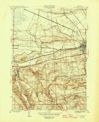 1946 Canastota1946 Print · USGSMadison County at the close of the war reveals a landscape shaped by three generations of canal and rail transit. Genealogists and local historians can trace the paths of the Old Erie (Abandoned) Canal and the Lehigh Valley railroad near Chittenango and Perryville.2 unique versions available
 - 1950 Map of Utica, 1951 Print
 1950 Utica1951 Print · USGSCentral New York in the post-war era showcases the industrial Mohawk Valley and the pristine Adirondack interior. Researchers can trace transportation networks like the New York Central Railroad and find early Cold War sites such as Griffiss Air Force Base.
 - 1957 Map of Utica
 1957 Utica1957 Print · USGSCentral New York and the Adirondack foothills are captured here in the mid-fifties, showing a landscape defined by the Mohawk River corridor and the growing highway system. Genealogists and researchers can trace the rail lines of the New York Central and locate communities from Lowville to Gloversville.
 - 1957 Map of Canastota, 1959 Print
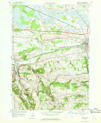 1957 Canastota1959 Print · USGSMadison County in the late fifties shows a landscape shaped by water and iron, from the valley floor to the southern uplands. Researchers can trace the dual paths of the Erie Canal and New York Central Railroad through Canastota and Chittenango Springs.3 unique versions available
 - 1962 Map of Utica
 1962 Utica1962 Print · USGSCentral New York and the Adirondack wilderness are captured here during the mid-century era of highway and industrial expansion. Genealogists and historians can trace the development of the New York State Thruway and local rail lines connecting Utica, Rome, and Gloversville.3 unique versions available
 - 1964 Map of Utica
 1964 Utica1964 Print · USGSCentral New York and the high wilderness of the Adirondacks are captured here during the post-war era of infrastructure expansion. Researchers can trace the development of the New York State Thruway alongside historic corridors like the Oneida Lake (Barge Canal Route) and the N. Y. Central railroad.
 - 1967 Map of Utica
 1967 Utica1967 Print · USGSCentral New York's industrial Mohawk Valley meets the Adirondack wilderness in the 1960s, showing the region's transition from manufacturing hubs to state-managed parklands. Trace historic settlements and sites like Griffiss Air Force Base, Colgate University, and the Lyons Falls Paper Mill.
 - 1985 Map of Utica, 1986 Print
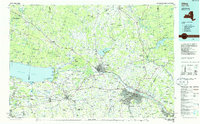 1985 Utica1986 Print · USGSThe Mohawk Valley in the mid-eighties shows a landscape of industrial river cities and high-tech military hubs before the post-Cold War transition. Trace the development of Rome and Utica, the operations at Griffiss Air Force Base, and the lakeside activity at Oneida Lake.2 unique versions available
 - 2010 Map of Canastota, 2010 Print
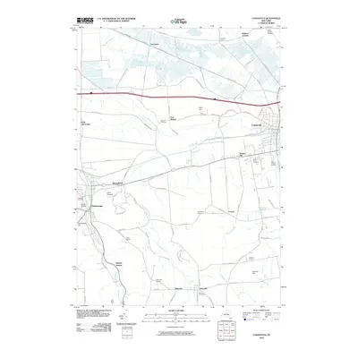 2010 Canastota2010 Print · USGSMadison County in the early 2000s reveals a patchwork of established villages and quiet crossroads. Trace family history through Oakwood Cemetery or explore the rural topography near Lillies Pinnacle and the headwaters of Canaseraga Creek.
 - 2013 Map of Canastota, 2013 Print
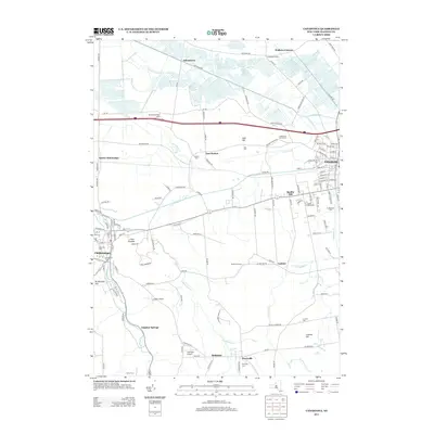 2013 Canastota2013 Print · USGSSullivan and Madison County's agricultural heartland is captured here in the early twenty-first century, spanning from the village of Canastota to Chittenango. Researchers can trace family history through sites like Oakwood Cem, the cascading Perryville Falls, and old hamlets like Oniontown and Quality Hill.
 - 2016 Map of Canastota, 2016 Print
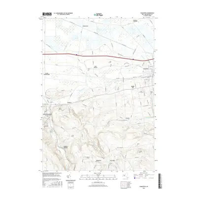 2016 Canastota2016 Print · USGSMadison County settlements like Canastota and Chittenango are shown here in the mid-2010s as the landscape shifts from low-lying northern plains into the southern hills. Researchers can locate local landmarks like Lillies Pinnacle, Perryville Falls, and numerous burial grounds including Lenox Rural Cem.
 - 2019 Map of Canastota, 2019 Print
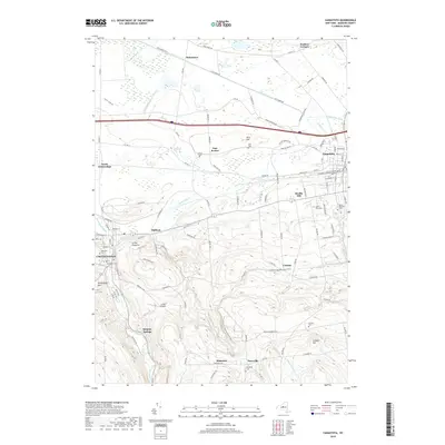 2019 Canastota2019 Print · USGSMadison County at the turn of the decade displays its transition from fertile valley lowlands to the southern hills. Local researchers can pinpoint family burial sites like Sullivan Cemetery or trace the path of the N Country National Scenic Trail through Cottons.
 - 2023 Map of Canastota, 2023 Print
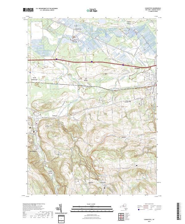 2023 Canastota2023 Print · USGSMadison County hamlets and villages are documented here in 2023, from the canalside history of Canastota to the upland slopes of Perryville. Genealogists and historians can trace local family landmarks like Allis Hill and several rural burial grounds, including Oakwood Cem and Harrington Cem.
End of results
Showing maps 1-16 of 16
Top cities near North Chittenango
- Syracuse historical maps
- Manlius historical maps
- Rome historical maps
- Cicero historical maps
- DeWitt historical maps
- De Witt historical maps
See more
Frequently asked questions
- What are the different types of historical maps available for North Chittenango?
- What is the oldest map of North Chittenango?
- Where can I purchase historical maps of North Chittenango for my home or office?
- Where can I download high-res historical maps of North Chittenango?
- Are there historical topographic maps available for North Chittenango?
- Is there historical aerial imagery available for North Chittenango?
- Where are historical maps of North Chittenango sourced from?