Old Maps of Youngstown, Porter
Explore 24 old maps of Youngstown, spanning from 1894 to today. These high-resolution historic maps reveal how streets, neighborhoods, landmarks, and natural features evolved over time — perfect for genealogy, metal detecting, research, and local history exploration.
What you can do with these maps:
- See how Youngstown changed over time: Compare historical maps to modern-day views to trace roads, homesites, rail lines & more.
- View detailed metadata: Each map includes creators, publishers, year, scale, and archive source.
- Overlay maps with satellite & LiDAR: Visualize the past alongside modern tools to explore terrain & human change.
- Trusted historical sources: Maps sourced from the USGS, Library of Congress, and other archives.
- Access maps your way: View online, download high-res files, or order prints for personal or research use.
Start exploring old maps of Youngstown to uncover forgotten places, hidden landmarks, and the deep history beneath your feet.
Youngstown, Porter maps
(24)- 1894 Map of Niagara Falls
 1894 Niagara Falls1894 Print · USGSThe Niagara frontier in the early 1890s shows a landscape of strategic forts and burgeoning rail power. Trace the international border from Fort Niagara past the Brock Monument to the rail hubs at Suspension Bridge.
 - 1896 Map of Niagara Falls
 1896 Niagara Falls1896 Print · USGSThe Niagara frontier at the close of the nineteenth century was a landscape of international boundaries and massive engineering. Trace the complex rail networks through Suspension Bridge or the historic fortifications at Fort Niagara and Fort Massassauga.2 unique versions available
 - 1900 Map of Niagara Falls, 1961 Print
 1900 Niagara Falls1961 Print · USGSThe Niagara frontier at the turn of the century shows an intense convergence of industrial power and military history along the international border. Trace the rail-and-river economy through the Suspension Bridge and Michigan Central R. R. or locate old landmarks like Fort Niagara and the Whirlpool.4 unique versions available
 - 1901 Map of Niagara Falls
 1901 Niagara Falls1901 Print · USGSThe Niagara frontier at the dawn of the twentieth century is captured here in striking detail, from the river's mouth to the falls. Trace the dense rail networks of the Niagara Falls area or locate Fort Niagara and the Brock Monument.11 unique versions available
 - 1950 Map of Lewiston
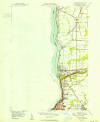 1950 Lewiston1950 Print · USGSThe Niagara frontier at mid-century shows a landscape of growing townships and historic river crossings just north of the falls. Genealogists can locate family sites at Beth Israel Cem, St Bernards Cem, or the campus of Niagara University.
 - 1950 Map of Ft Niagara
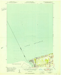 1950 Ft Niagara1950 Print · USGSThe mouth of the Niagara River and the grounds of the historic fortress are captured here in the post-war era. Researchers can trace the village of Youngstown, the old cemetery at Towers Corners, and the layout of Fort Niagara at mid-century.
 - 1952 Map of Toronto, 1954 Print
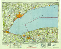 1952 Toronto1954 Print · USGSLake Ontario and the international border define this mid-century landscape of rapid industrial and suburban growth. Researchers can trace the vital shipping and rail corridors of the era, from the Welland Canal to the New York Central Railroad.
 - 1962 Map of Toronto, 1982 Print
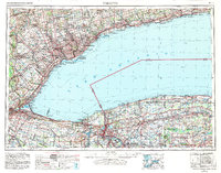 1962 Toronto1982 Print · USGSThe Golden Horseshoe and the Niagara Frontier meet in this early 1960s study of a growing international border region. Trace the path of the Welland Canal and locate land marks like the Scarborough Bluffs and Tuscarora Indian Reservation.
 - 1965 Map of Toronto
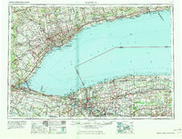 1965 Toronto1965 Print · USGSThe Golden Horseshoe and Niagara Frontier are shown in detail during the early sixties, highlighting the international shipping and transit networks. Trace the path of the Erie Canal, the Welland Canal, and rail lines connecting Toronto and Niagara Falls.2 unique versions available
 - 1965 Map of Ft Niagara, 1968 Print
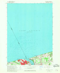 1965 Ft Niagara1968 Print · USGSThe Niagara frontier and the Lake Ontario shoreline are captured here in the mid-1960s. Trace the international border and historical defenses from Old Fort Niagara to Youngstown and the inland reaches of Towers Corners.
 - 1965 Map of Lewiston, 1968 Print
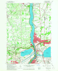 1965 Lewiston1968 Print · USGSThe Niagara frontier in the mid-sixties reveals a landscape of international transit and institutional growth along the Niagara River. Researchers can locate historic religious sites like the Stella Niagara Seminary and trace the topography of the Niagara Escarpment.
 - 1980 Map of Ft Niagara
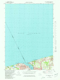 1980 Ft Niagara1980 Print · USGSThe international border at the mouth of the Niagara River is captured here in the 1980s, showing a landscape defined by military history and lakefront growth. Researchers can trace the layout of Niagara-On-The-Lake, Youngstown, and the grounds of Fort Niagara State Park.
 - 1980 Map of Lewiston, 1981 Print
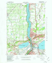 1980 Lewiston1981 Print · USGSNiagara County and the international border are seen here in the 1980s, showcasing the massive power infrastructure along the river. Genealogists and researchers can locate Riverdale Cemetery, Stella Niagara Seminary, and the unique Our Lady of Fatima Shrine.
 - 1986 Map of Niagara Falls
 1986 Niagara Falls1986 Print · USGSThe Niagara frontier in the mid-eighties shows a landscape of heavy power generation and riverfront parkland. Trace the residential growth of Lewiston and Youngstown or locate landmarks like Old Fort Niagara and the Niagara Escarpment.2 unique versions available
 - 2011 Map of Lewiston, 2011 Print
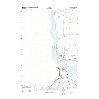 2011 Lewiston2011 Print · USGSThe Niagara frontier at the start of the 2010s shows a landscape defined by international transit and long-standing local institutions. Researchers can trace the grounds of Niagara University, locate the Lewiston- Queenston Bridge, and find family history at Saint Johns Cemetery or Holy Trinity Cemetery.
 - 2012 Map of Fort Niagara, 2012 Print
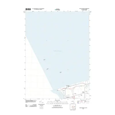 2012 Fort Niagara2012 Print · USGSThe mouth of the Niagara River is captured here in the early twenty-first century, where military history meets lakefront agriculture. Researchers can trace the layout of Fort Niagara and find local family landmarks such as Shippy Orchards and Towers Cemetery.
 - 2013 Map of Fort Niagara, 2013 Print
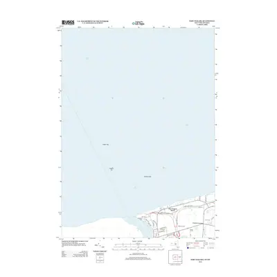 2013 Fort Niagara2013 Print · USGSThe Niagara frontier and Lake Ontario shoreline are captured here in the early twenty-first century as they meet at the river's mouth. Researchers can locate Ft Niagara Cem, trace the drainage of Fourmile Cr, and explore local agriculture at Shippy Orchards.
 - 2013 Map of Lewiston, 2013 Print
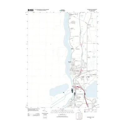 2013 Lewiston2013 Print · USGSThe Niagara River corridor and the steep Escarpment dominate this 2013 view of the New York-Ontario border region. Researchers can trace land use across diverse sites like Niagara University, the Devils Hole Rapids, and numerous local burial grounds including Riverdale Cem.
 - 2016 Map of Fort Niagara, 2016 Print
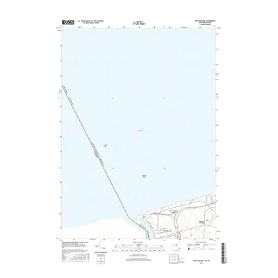 2016 Fort Niagara2016 Print · USGSNear the international border at the mouth of the Niagara River, this mid-2010s survey captures the historic lakeshore community of Youngstown. Researchers can trace local heritage sites like Fort Niagara Cem, Towers Cem, and the quiet inlet of Fourmile Cr.
 - 2016 Map of Lewiston, 2016 Print
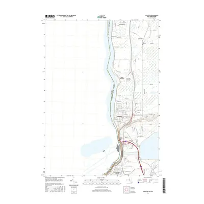 2016 Lewiston2016 Print · USGSThe Niagara frontier at the mid-2010s shows a dense network of international crossings and historic settlements along the Niagara River. Researchers can trace local lineage through Lewiston Village Cemetery and locate landmarks like Niagara University and Devils Hole.
 - 2019 Map of Lewiston, 2019 Print
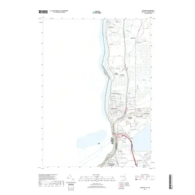 2019 Lewiston2019 Print · USGSThe Niagara frontier at the close of the 2010s shows a landscape shaped by the river and the dramatic escarpment. Researchers can trace local heritage through the grounds of Niagara University and several cemeteries including Gate of Heaven Cem and Saint Bernards Cem.
 - 2019 Map of Fort Niagara, 2019 Print
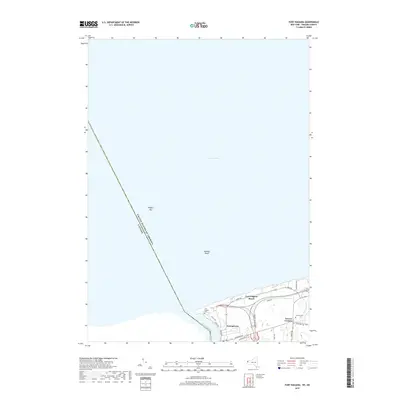 2019 Fort Niagara2019 Print · USGSNear the international border in the late 2010s, this area reflects centuries of history at the mouth of the Niagara River. Genealogists and researchers can trace local family landmarks and burial sites like Towers Cem, the village of Youngstown, and Fort Niagara Cem.
 - 2023 Map of Fort Niagara, 2023 Print
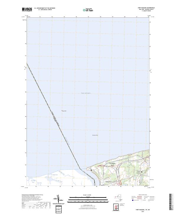 2023 Fort Niagara2023 Print · USGSThe Niagara River mouth meets the international border at the New York-Canada line in this recent topographic survey. Local historians can trace the shoreline developments near Youngstown, the historic Fort Niagara Cem, and the waters of Two Mile Pond.
 - 2023 Map of Lewiston, 2023 Print
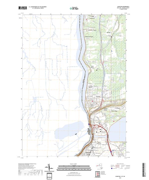 2023 Lewiston2023 Print · USGSThe Niagara frontier in the early 2020s shows a landscape of deep historical roots and international borders. Researchers can locate numerous local landmarks including Niagara University, Stella Niagara, and the Devils Hole gorge.
End of results
Showing maps 1-24 of 24
Top cities near Youngstown
- Amherst historical maps
- Tonawanda historical maps
- Niagara Falls historical maps
- North Tonawanda historical maps
- Grand Island historical maps
- Wheatfield historical maps
See more
Frequently asked questions
- What are the different types of historical maps available for Youngstown?
- What is the oldest map of Youngstown?
- Where can I purchase historical maps of Youngstown for my home or office?
- Where can I download high-res historical maps of Youngstown?
- Are there historical topographic maps available for Youngstown?
- Is there historical aerial imagery available for Youngstown?
- Where are historical maps of Youngstown sourced from?