Old Maps of Youngstown, Porter for Academic Research
Study the evolution of Youngstown with 24 high-resolution historic maps. Whether you're teaching, researching, or modeling changes in land use, these maps provide essential visual documentation of urban, environmental, and geographic change.
- Analyze long-term change: Track patterns in development, transportation, and natural features.
- Ideal for environmental or urban studies: Support academic projects with primary historical map data.
- Use in the classroom or lab: Educators and researchers rely on these maps to bring historical context to life.
These maps are a powerful tool for teaching, research, and visualizing how Youngstown has changed over the decades.
Youngstown, Porter maps
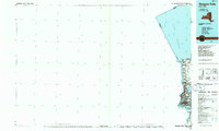
(24)- 1894 Map of Niagara Falls
 1894 Niagara Falls1894 Print · USGSThe Niagara frontier in the early 1890s shows a landscape of strategic forts and burgeoning rail power. Trace the international border from Fort Niagara past the Brock Monument to the rail hubs at Suspension Bridge.
 - 1896 Map of Niagara Falls
 1896 Niagara Falls1896 Print · USGSThe Niagara frontier at the close of the nineteenth century was a landscape of international boundaries and massive engineering. Trace the complex rail networks through Suspension Bridge or the historic fortifications at Fort Niagara and Fort Massassauga.2 unique versions available
 - 1900 Map of Niagara Falls, 1961 Print
 1900 Niagara Falls1961 Print · USGSThe Niagara frontier at the turn of the century shows an intense convergence of industrial power and military history along the international border. Trace the rail-and-river economy through the Suspension Bridge and Michigan Central R. R. or locate old landmarks like Fort Niagara and the Whirlpool.4 unique versions available
 - 1901 Map of Niagara Falls
 1901 Niagara Falls1901 Print · USGSThe Niagara frontier at the dawn of the twentieth century is captured here in striking detail, from the river's mouth to the falls. Trace the dense rail networks of the Niagara Falls area or locate Fort Niagara and the Brock Monument.11 unique versions available
 - 1950 Map of Lewiston
 1950 Lewiston1950 Print · USGSThe Niagara frontier at mid-century shows a landscape of growing townships and historic river crossings just north of the falls. Genealogists can locate family sites at Beth Israel Cem, St Bernards Cem, or the campus of Niagara University.
 - 1950 Map of Ft Niagara
 1950 Ft Niagara1950 Print · USGSThe mouth of the Niagara River and the grounds of the historic fortress are captured here in the post-war era. Researchers can trace the village of Youngstown, the old cemetery at Towers Corners, and the layout of Fort Niagara at mid-century.
 - 1952 Map of Toronto, 1954 Print
 1952 Toronto1954 Print · USGSLake Ontario and the international border define this mid-century landscape of rapid industrial and suburban growth. Researchers can trace the vital shipping and rail corridors of the era, from the Welland Canal to the New York Central Railroad.
 - 1962 Map of Toronto, 1982 Print
 1962 Toronto1982 Print · USGSThe Golden Horseshoe and the Niagara Frontier meet in this early 1960s study of a growing international border region. Trace the path of the Welland Canal and locate land marks like the Scarborough Bluffs and Tuscarora Indian Reservation.
 - 1965 Map of Toronto
 1965 Toronto1965 Print · USGSThe Golden Horseshoe and Niagara Frontier are shown in detail during the early sixties, highlighting the international shipping and transit networks. Trace the path of the Erie Canal, the Welland Canal, and rail lines connecting Toronto and Niagara Falls.2 unique versions available
 - 1965 Map of Ft Niagara, 1968 Print
 1965 Ft Niagara1968 Print · USGSThe Niagara frontier and the Lake Ontario shoreline are captured here in the mid-1960s. Trace the international border and historical defenses from Old Fort Niagara to Youngstown and the inland reaches of Towers Corners.
 - 1965 Map of Lewiston, 1968 Print
 1965 Lewiston1968 Print · USGSThe Niagara frontier in the mid-sixties reveals a landscape of international transit and institutional growth along the Niagara River. Researchers can locate historic religious sites like the Stella Niagara Seminary and trace the topography of the Niagara Escarpment.
 - 1980 Map of Ft Niagara
 1980 Ft Niagara1980 Print · USGSThe international border at the mouth of the Niagara River is captured here in the 1980s, showing a landscape defined by military history and lakefront growth. Researchers can trace the layout of Niagara-On-The-Lake, Youngstown, and the grounds of Fort Niagara State Park.
 - 1980 Map of Lewiston, 1981 Print
 1980 Lewiston1981 Print · USGSNiagara County and the international border are seen here in the 1980s, showcasing the massive power infrastructure along the river. Genealogists and researchers can locate Riverdale Cemetery, Stella Niagara Seminary, and the unique Our Lady of Fatima Shrine.
 - 1986 Map of Niagara Falls
 1986 Niagara Falls1986 Print · USGSThe Niagara frontier in the mid-eighties shows a landscape of heavy power generation and riverfront parkland. Trace the residential growth of Lewiston and Youngstown or locate landmarks like Old Fort Niagara and the Niagara Escarpment.2 unique versions available
 - 2011 Map of Lewiston, 2011 Print
 2011 Lewiston2011 Print · USGSCovers Youngstown, including Niagara Falls, Niagara Falls, and other nearby areas
 - 2012 Map of Fort Niagara, 2012 Print
 2012 Fort Niagara2012 Print · USGSCovers Youngstown, including Niagara-on-the-Lake, Porter, and other nearby areas
 - 2013 Map of Fort Niagara, 2013 Print
 2013 Fort Niagara2013 Print · USGSCovers Youngstown, including Niagara-on-the-Lake, Porter, and other nearby areas
 - 2013 Map of Lewiston, 2013 Print
 2013 Lewiston2013 Print · USGSCovers Youngstown, including Niagara Falls, Niagara Falls, and other nearby areas
 - 2016 Map of Fort Niagara, 2016 Print
 2016 Fort Niagara2016 Print · USGSCovers Youngstown, including Niagara-on-the-Lake, Porter, and other nearby areas
 - 2016 Map of Lewiston, 2016 Print
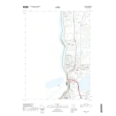
 2016 Lewiston2016 Print · USGSCovers Youngstown, including Niagara Falls, Niagara Falls, and other nearby areas
 - 2019 Map of Lewiston, 2019 Print
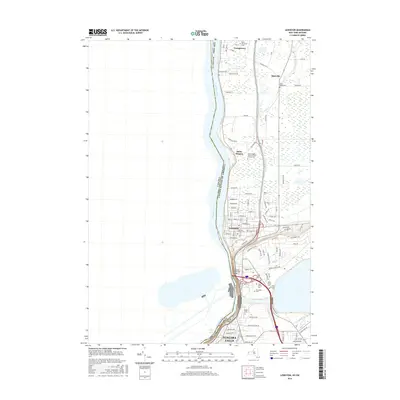
 2019 Lewiston2019 Print · USGSCovers Youngstown, including Niagara Falls, Niagara Falls, and other nearby areas
 - 2019 Map of Fort Niagara, 2019 Print
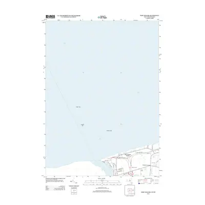
 2019 Fort Niagara2019 Print · USGSCovers Youngstown, including Niagara-on-the-Lake, Porter, and other nearby areas
 - 2023 Map of Fort Niagara, 2023 Print
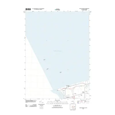
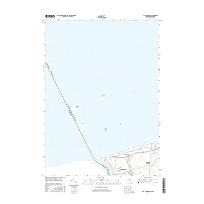
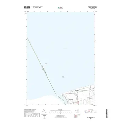
 2023 Fort Niagara2023 Print · USGSThe Niagara River mouth meets the international border at the New York-Canada line in this recent topographic survey. Local historians can trace the shoreline developments near Youngstown, the historic Fort Niagara Cem, and the waters of Two Mile Pond.
 - 2023 Map of Lewiston, 2023 Print
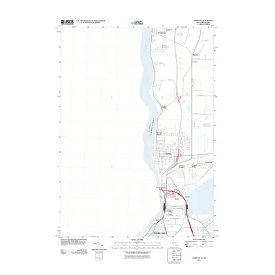
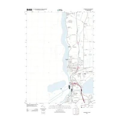
 2023 Lewiston2023 Print · USGSThe Niagara frontier in the early 2020s shows a landscape of deep historical roots and international borders. Researchers can locate numerous local landmarks including Niagara University, Stella Niagara, and the Devils Hole gorge.
End of results
Showing maps 1-24 of 24
Top cities near Youngstown
- Amherst historical maps
- Tonawanda historical maps
- Niagara Falls historical maps
- North Tonawanda historical maps
- Grand Island historical maps
- Wheatfield historical maps
See more
Frequently asked questions
- What are the different types of historical maps available for Youngstown?
- What is the oldest map of Youngstown?
- Where can I purchase historical maps of Youngstown for my home or office?
- Where can I download high-res historical maps of Youngstown?
- Are there historical topographic maps available for Youngstown?
- Is there historical aerial imagery available for Youngstown?
- Where are historical maps of Youngstown sourced from?