Old Maps of Bridgewater, New York for Genealogy
Trace your family roots with 36 historic maps of Bridgewater. These high-res maps reveal old neighborhoods, homesites, landmarks, and streets — helping you uncover where your ancestors lived and how the area evolved over time.
- Explore historic neighborhoods: Identify where your relatives may have lived in the 1800s or 1900s.
- Compare maps over time: Trace the changes in streets, buildings, and landmarks for multi-generational research.
- Perfect for genealogy & ancestry research: Used by family historians and researchers to map out lineage and migration.
These maps are an incredible resource for exploring your personal connection to Bridgewater's past.
Bridgewater, NY maps
(36)- 1907 Map of Winfield
 1907 Winfield1907 Print · USGSCentral New York's dairy and rail corridor is captured here at the start of the century. Genealogists can trace family names across hamlets like Millers Mills and Plainfield Center, or locate old depots along the Unadilla Valley RR.6 unique versions available
 - 1907 Map of Sangerfield
 1907 Sangerfield1907 Print · USGSOneida and Madison counties meet at the height of the central New York hills in the early twentieth century. Genealogists and local historians can trace the positions of the Budlong Schoolhouse, the industrial activity at Mains Mills, and the path of the Cherry Valley Turnpike.6 unique versions available
 - 1943 Map of Cassville, 1960 Print
 1943 Cassville1960 Print · USGSOneida County's dairy and rail heartland is captured during the early 1940s, showing the bustling corridor between Clayville and Bridgewater. Genealogists can trace family locations near Budlong Cem, Hobin Corners, and the old Tophet Sch.2 unique versions available
 - 1943 Map of Unadilla Forks, 1960 Print
 1943 Unadilla Forks1960 Print · USGSThe central New York uplands come into focus in the 1940s at the junction of four counties. Genealogists can trace family landmarks like Beverly Inn Corners, Spooner Corners, and the Taylor Hill Cem.2 unique versions available
 - 1943 Map of Sangerfield, 1960 Print
 1943 Sangerfield1960 Print · USGSCentral New York's dairy and rail heartland is meticulously documented here during the mid-forties. Genealogists and local historians can trace family-named crossroads and rural schoolhouses like Doolittle Sch, Brothertown, and Greens Crossing.
 - 1943 Map of Brookfield, 1960 Print
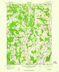 1943 Brookfield1960 Print · USGSMadison and Otsego County villages thrive along the Unadilla River during the early 1940s. Genealogists can trace family footprints at Gorton Cem, School No 28, and the old Fairground at Brookfield.2 unique versions available
 - 1943 Map of West Winfield, 1960 Print
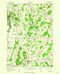 1943 West Winfield1960 Print · USGSThe rural dairy country of central New York comes into focus during the mid-century as the rail corridor and headwaters of the Unadilla River shape the local economy. Genealogists can trace family names at Days Corners or locate historic sites like Meeting House Green and St Marys Cem.3 unique versions available
 - 1945 Map of Brookfield
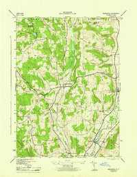 1945 Brookfield1945 Print · USGSMadison and Oneida counties are captured here in the 1940s, showing a landscape of upland farms and valley river towns. Genealogists can locate family landmarks such as Gorton Cem, Waterman Sch, and the riverside community of Leonardsville.
 - 1945 Map of Cassville
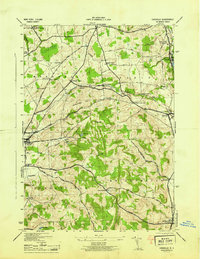 1945 Cassville1945 Print · USGSOneida County at the height of the Second World War shows a rural landscape defined by the Delaware Lackawanna and Western RR and historic hamlets. Genealogists can locate family names at Budlong Cem or trace old routes like Turnpike Road and Lackawanna Road.
 - 1945 Map of West Winfield
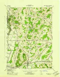 1945 West Winfield1945 Print · USGSThe northern headwaters of the Unadilla River and the rural borders of Oneida and Herkimer counties are frozen in time just as the war ended. Genealogists can trace family names and sites across West Winfield, Meeting House Green, and St Marys Cem.
 - 1945 Map of Unadilla Forks
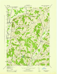 1945 Unadilla Forks1945 Print · USGSThe Unadilla River valley during the 1940s reveals a landscape of high ridges and active rail-side settlements at the intersection of three counties. Local historians can trace the development of hamlets like Leonardsville and West Exeter, or locate rural landmarks such as School No 8 and Wood Cem.
 - 1948 Map of Binghamton, 1980 Print
 1948 Binghamton1980 Print · USGSCentral New York and the Southern Tier thrive in the late 1940s as a hub of rail traffic and mountain industry. Researchers can trace historic transit lines like the Erie Railroad through Binghamton or find old valley settlements near Oneonta and Delhi.
 - 1950 Map of Binghamton
 1950 Binghamton1950 Print · USGSBinghamton and the surrounding Southern Tier are shown in the mid-century era, highlighting the intricate rail and river networks that drove local industry. Researchers can trace the path of the Erie Railroad and locate landmarks from Otsego Lake to Sidney Mountain.2 unique versions available
 - 1958 Map of Binghamton
 1958 Binghamton1958 Print · USGSCentral New York in the late fifties was a network of manufacturing cities and river valleys connected by vital rail lines. Genealogists and historians can trace family roots in Oneonta, Norwich, and Cooperstown or locate long-standing farms along Schoharie Creek.
 - 1963 Map of Binghamton
 1963 Binghamton1963 Print · USGSThe Southern Tier and Catskill peaks are shown in the early sixties as new reservoirs reshaped the valleys. Trace historic rail corridors like the Erie Lackawanna RR and explore lakeside settlements such as Cooperstown and Oneonta.
 - 1986 Map of Norwich
 1986 Norwich1986 Print · USGSCentral New York in the mid-eighties was a landscape of deep river valleys and university towns connected by historic rail corridors and state highways. Researchers can trace the rural infrastructure of Norwich and Hamilton, finding landmarks like Colgate University and the Seventh Day Hollow Church.2 unique versions available
 - 2010 Map of Brookfield, 2010 Print
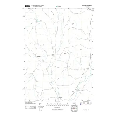 2010 Brookfield2010 Print · USGSUpstate New York's Unadilla Valley is captured here in the early twenty-first century, showing a rural landscape of scattered hamlets and hill farms. Genealogists can locate numerous burial sites across the township, including Waterman, Welch, and Clarke cemeteries.
 - 2010 Map of Cassville, 2010 Print
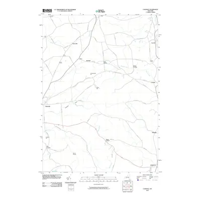 2010 Cassville2010 Print · USGSOneida County's upland farms and valley hamlets are captured here in the early 21st century. Genealogists and local historians can pinpoint family burial sites at Eastman Cemetery and trace the paths between rural junctions like Five Corners and Paris Station.
 - 2010 Map of Unadilla Forks, 2010 Print
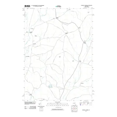 2010 Unadilla Forks2010 Print · USGSIn the hills of central New York, this 2010 survey captures a landscape of historic hamlets and river valleys. Researchers can trace family history through numerous rural burial sites like Bass Cemetery and Huntly Cemetery or locate old crossroads at Beverly Inn Corners.
 - 2010 Map of West Winfield, 2010 Print
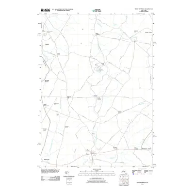 2010 West Winfield2010 Print · USGSCentral New York’s rural landscape is captured here in the years following the millennium, showing the interconnected hamlets of the Unadilla River headwaters. Genealogists can trace family footprints across Meeting House Green, Babcock Hill, and numerous plots like Saint Josephs Cemetery.
 - 2013 Map of Unadilla Forks, 2013 Print
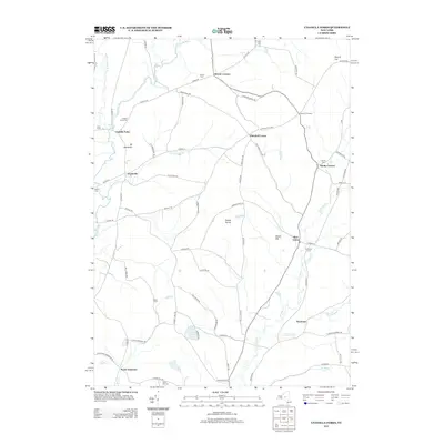 2013 Unadilla Forks2013 Print · USGSIn the early 21st century, the upper Susquehanna watershed remains a landscape of small hamlets and family-named landmarks. Researchers can trace the lineage of this region through numerous burial grounds like Unadilla Forks Cem and rural centers such as Plainfield Center and North Edmeston.
 - 2013 Map of Cassville, 2013 Print
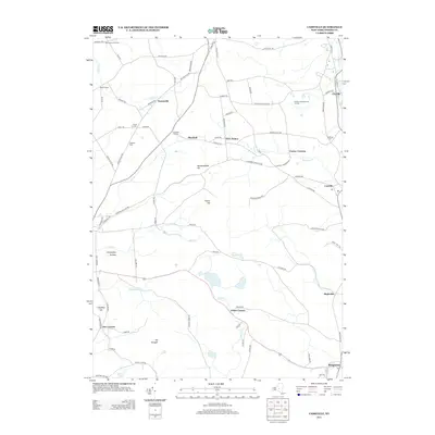 2013 Cassville2013 Print · USGSOneida County's southern uplands appear here in the early twenty-first century, showing the enduring pattern of crossroads hamlets and dairy-country ridges. Researchers can locate family landmarks like Eastman Cem or trace the early paths through Paris Station and Hobin Corners.
 - 2013 Map of Brookfield, 2013 Print
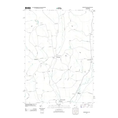 2013 Brookfield2013 Print · USGSUpper Unadilla River valley communities are captured here in the early twenty-first century, showing the rural character of Central New York. Researchers can locate numerous family burial grounds like Gorton Cem and Welch Cem or trace the hamlets of Brookfield and Leonardsville.
 - 2013 Map of West Winfield, 2013 Print
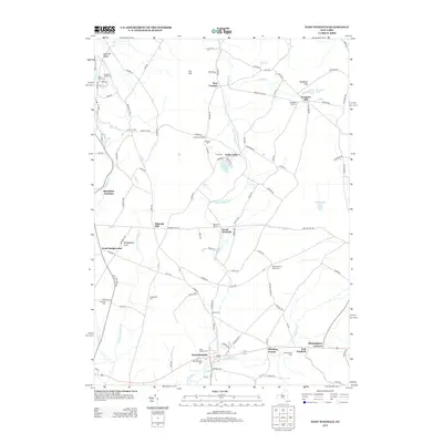 2013 West Winfield2013 Print · USGSThe Unadilla River valleys of central New York are shown here as they appeared in the early 2010s. Genealogists can locate numerous burial sites and small settlements, including Meeting House Green Cem, Ritchfield Junction, and Babcock Hill.
 - 2016 Map of West Winfield, 2016 Print
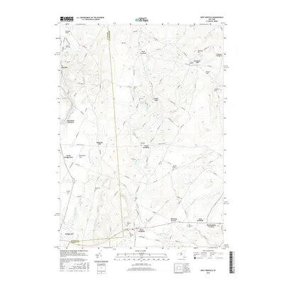 2016 West Winfield2016 Print · USGSThe borderlands of Oneida and Herkimer counties appear here in the modern era, showing the enduring layout of rural hamlets and upland cemeteries. Researchers can trace family sites at Jerusalem Hill Cem, Babcock Hill, and the old crossroads at Hitching Corner.
Showing maps 1-25 of 36
Top cities near Bridgewater
- Utica historical maps
- New Hartford historical maps
- Whitestown historical maps
- German Flatts historical maps
- Kirkland historical maps
- Herkimer historical maps
See more
Top neighborhoods of Bridgewater
- Hobin Corners historical maps
- Mapledale historical maps
- Babcock Hill historical maps
- North Bridgewater historical maps
- Bridgewater historical maps
Frequently asked questions
- What are the different types of historical maps available for Bridgewater?
- What is the oldest map of Bridgewater?
- Where can I purchase historical maps of Bridgewater for my home or office?
- Where can I download high-res historical maps of Bridgewater?
- Are there historical topographic maps available for Bridgewater?
- Is there historical aerial imagery available for Bridgewater?
- Where are historical maps of Bridgewater sourced from?