2000s (21st Century) Maps of Camden, New York
Explore 25 historic maps of Camden from the 2000s (21st Century). These maps offer a rare glimpse into what life looked like during the 2000s — showing old roads, neighborhoods, homes, and landmarks that have changed or disappeared over time.
Whether you're researching your family's past, planning a metal detecting trip, or studying how Camden's landscape evolved across the 2000s, these high-resolution maps are a powerful tool for exploring the history of this region.
- Focus on a specific era: All maps on this page are from the 2000s, giving you a focused view of this time period.
- See what’s changed: Compare century-old streets, trails, and buildings to today's modern landscape using overlays and satellite layers.
- Research with precision: Use these maps for genealogy, historical research, land use analysis, or educational projects.
- View, download, or print: Maps are fully viewable online in high resolution, and can be downloaded or printed for your own records.
Start exploring Camden's history through authentic maps from the 2000s. This is your window into the past.
Camden, NY maps
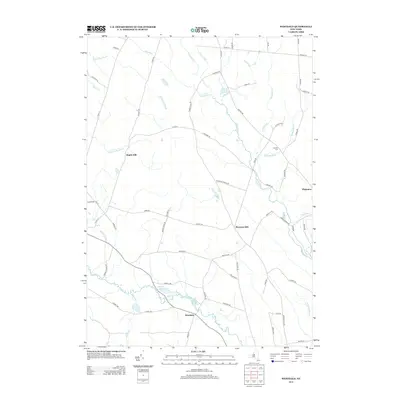
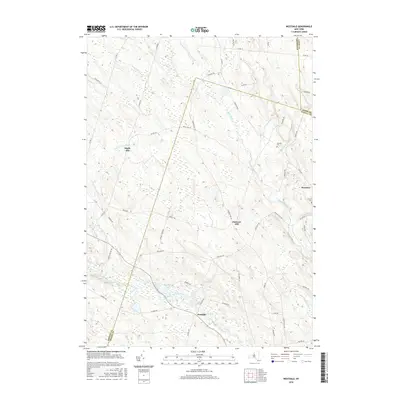
(25)- 2010 Map of Westdale, 2010 Print
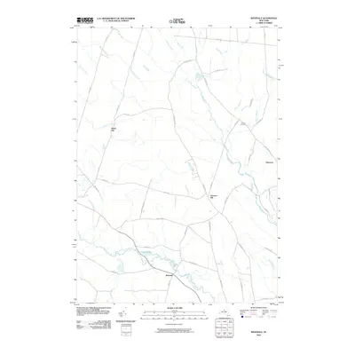 2010 Westdale2010 Print · USGSCovers Camden, including Williamstown, Florence, and other nearby areas
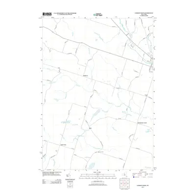
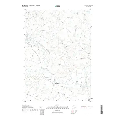
 - 2010 Map of Camden East, 2010 Print
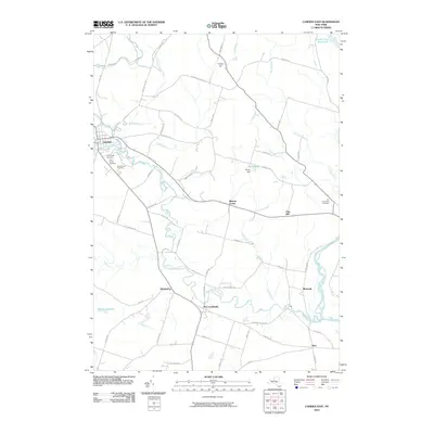 2010 Camden East2010 Print · USGSCovers Camden, including Rome, Vienna, and other nearby areas
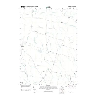
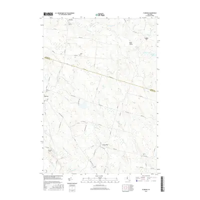
 - 2010 Map of Florence, 2010 Print
 2010 Florence2010 Print · USGSCovers Camden, including Annsville, Florence, and other nearby areas
 - 2010 Map of Camden West, 2010 Print
 2010 Camden West2010 Print · USGSCovers Camden, including Vienna, Constantia, and other nearby areas
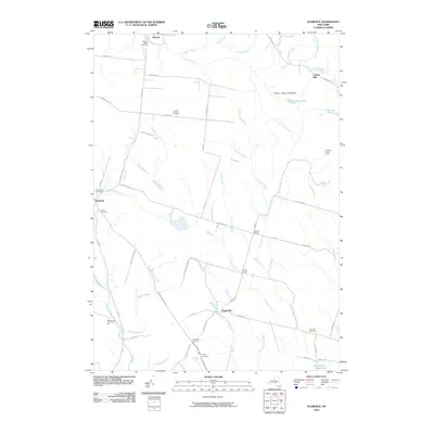
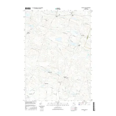
 - 2010 Map of Panther Lake, 2010 Print
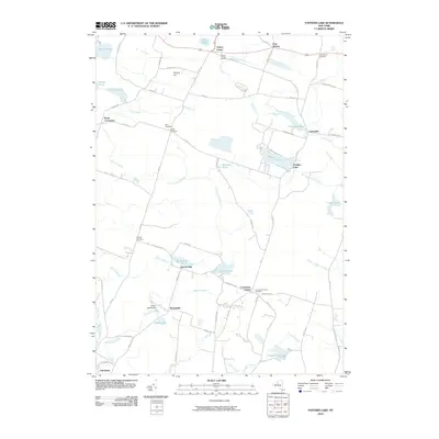 2010 Panther Lake2010 Print · USGSCovers Camden, including Constantia, Amboy, and other nearby areas
 - 2013 Map of Camden West, 2013 Print
 2013 Camden West2013 Print · USGSCovers Camden, including Vienna, Constantia, and other nearby areas
 - 2013 Map of Westdale, 2013 Print
 2013 Westdale2013 Print · USGSCovers Camden, including Williamstown, Florence, and other nearby areas
 - 2013 Map of Florence, 2013 Print
 2013 Florence2013 Print · USGSCovers Camden, including Annsville, Florence, and other nearby areas
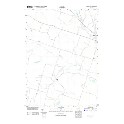
 - 2013 Map of Camden East, 2013 Print
 2013 Camden East2013 Print · USGSCovers Camden, including Rome, Vienna, and other nearby areas
 - 2013 Map of Panther Lake, 2013 Print
 2013 Panther Lake2013 Print · USGSCovers Camden, including Constantia, Amboy, and other nearby areas
 - 2016 Map of Camden West, 2016 Print
 2016 Camden West2016 Print · USGSCovers Camden, including Vienna, Constantia, and other nearby areas
 - 2016 Map of Camden East, 2016 Print
 2016 Camden East2016 Print · USGSCovers Camden, including Rome, Vienna, and other nearby areas
 - 2016 Map of Panther Lake, 2016 Print
 2016 Panther Lake2016 Print · USGSCovers Camden, including Constantia, Amboy, and other nearby areas
 - 2016 Map of Westdale, 2016 Print
 2016 Westdale2016 Print · USGSCovers Camden, including Williamstown, Florence, and other nearby areas
 - 2016 Map of Florence, 2016 Print
 2016 Florence2016 Print · USGSCovers Camden, including Annsville, Florence, and other nearby areas
 - 2019 Map of Camden East, 2019 Print
 2019 Camden East2019 Print · USGSCovers Camden, including Rome, Vienna, and other nearby areas
 - 2019 Map of Florence, 2019 Print
 2019 Florence2019 Print · USGSCovers Camden, including Annsville, Florence, and other nearby areas
 - 2019 Map of Westdale, 2019 Print
 2019 Westdale2019 Print · USGSCovers Camden, including Williamstown, Florence, and other nearby areas
 - 2019 Map of Panther Lake, 2019 Print
 2019 Panther Lake2019 Print · USGSCovers Camden, including Constantia, Amboy, and other nearby areas
 - 2019 Map of Camden West, 2019 Print
 2019 Camden West2019 Print · USGSCovers Camden, including Vienna, Constantia, and other nearby areas
 - 2023 Map of Westdale, 2023 Print
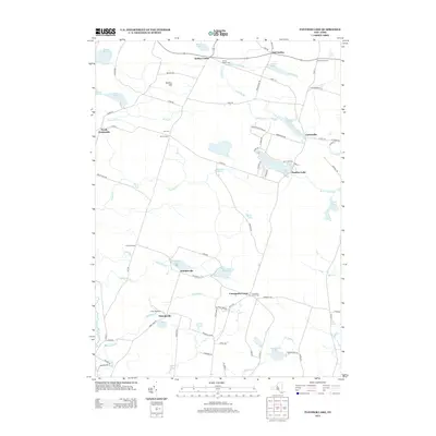
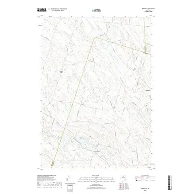
 2023 Westdale2023 Print · USGSThe rural borderlands of Oneida, Oswego, and Lewis counties come to life in this contemporary survey of central New York. Researchers can locate family landmarks at Johnson Cem or trace the winding course of the Mad River past Florence.
 - 2023 Map of Panther Lake, 2023 Print
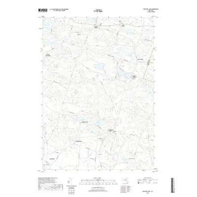
 2023 Panther Lake2023 Print · USGSOswego County's rural crossroads and glacial ponds are preserved here in the early twenty-first century. Genealogists and local historians can locate family burial grounds like Kinney Cem and trace the small-scale settlement patterns of Ducherville and Amboy Center.
 - 2023 Map of Florence, 2023 Print
 2023 Florence2023 Print · USGSThe rural border of Oneida and Lewis counties comes into focus in this recent survey. Researchers can trace family history through several burial sites including River Cem and Davis Cem, or locate the historic Leisher Mill along the Salmon River.
 - 2023 Map of Camden West, 2023 Print
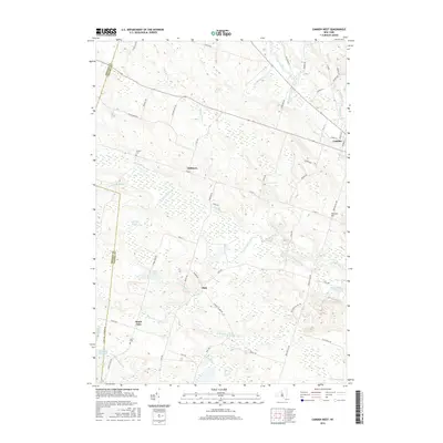
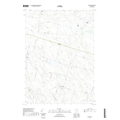
 2023 Camden West2023 Print · USGSOneida County at the dawn of the 2020s remains a landscape of historic hamlets and sprawling wetlands. Genealogists and local historians can trace the rural layout of Elpis and Hillsboro or locate family sites at Temple Cem and Lynch Cem.
 - 2023 Map of Camden East, 2023 Print
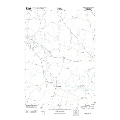
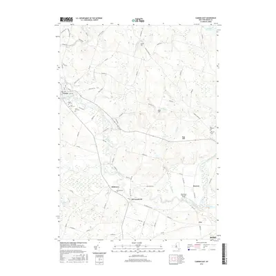
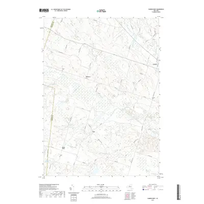
 2023 Camden East2023 Print · USGSOneida County's rural heartland is meticulously documented here, showing the evolved landscape around Camden and McConnellsville. Researchers can trace local genealogy through numerous sites like Saint Patrick Cem or explore the waterways of West Branch Fish Creek.
End of results
Showing maps 1-25 of 25
Top cities near Camden
- Manlius historical maps
- Rome historical maps
- Cicero historical maps
- Sullivan historical maps
- Oneida historical maps
- Lenox historical maps
See more
Top neighborhoods of Camden
Frequently asked questions
- What are the different types of historical maps available for Camden?
- What is the oldest map of Camden?
- Where can I purchase historical maps of Camden for my home or office?
- Where can I download high-res historical maps of Camden?
- Are there historical topographic maps available for Camden?
- Is there historical aerial imagery available for Camden?
- Where are historical maps of Camden sourced from?