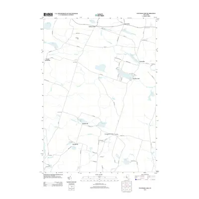
2013 Map of Panther Lake
USGS Topo · Published 2013About this map
Panther Lake sits at the heart of this landscape, surrounded by a network of rural hamlets and family-named intersections that define the local geography of northern Oneida County. To the north, Amboy Center and East Amboy serve as anchor points along Route 69, while smaller clusters like Carterville and Dutcherville illustrate the dispersed settlement patterns common in this region. The map preserves the locations of several burial grounds, including the Amboy Center Cem, Hall Cem, and Constantia Center Cem, which are vital for genealogical research in this part of New York.
Find a feature on this map
88 named features on this map. Tap any name to fly to it.
Don’t see what you’re looking for? This feature index may not catch every label — zoom into the map to look around manually.
Map Details
Editions of this 2013 Panther Lake Map
This is the sole edition of this map. No revisions or reprints were ever made.
Other maps of this area

1895 · Chittenango
USGS Topo · 1:62,500

1895 · Syracuse
USGS Topo · 1:62,500

1898 · Syracuse
USGS Topo · 1:62,500

1898 · Chittenango
USGS Topo · 1:62,500

1902 · Chittenango
USGS Topo · 1:62,500

1905 · Mexico
USGS Topo · 1:62,500

1906 · Kasoag
USGS Topo · 1:62,500

1940 · Cicero
USGS Topo · 1:24,000

1941 · Cleveland
USGS Topo · 1:24,000

1941 · Jewell
USGS Topo · 1:24,000