2000s (21st Century) Maps of North Syracuse, New York
Explore 15 historic maps of North Syracuse from the 2000s (21st Century). These maps offer a rare glimpse into what life looked like during the 2000s — showing old roads, neighborhoods, homes, and landmarks that have changed or disappeared over time.
Whether you're researching your family's past, planning a metal detecting trip, or studying how North Syracuse's landscape evolved across the 2000s, these high-resolution maps are a powerful tool for exploring the history of this region.
- Focus on a specific era: All maps on this page are from the 2000s, giving you a focused view of this time period.
- See what’s changed: Compare century-old streets, trails, and buildings to today's modern landscape using overlays and satellite layers.
- Research with precision: Use these maps for genealogy, historical research, land use analysis, or educational projects.
- View, download, or print: Maps are fully viewable online in high resolution, and can be downloaded or printed for your own records.
Start exploring North Syracuse's history through authentic maps from the 2000s. This is your window into the past.
North Syracuse, NY maps
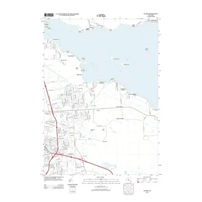
(15)- 2010 Map of Brewerton, 2010 Print
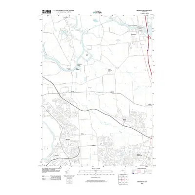 2010 Brewerton2010 Print · USGSCovers North Syracuse, including Clay, Salina, and other nearby areas
 - 2010 Map of Syracuse West, 2010 Print
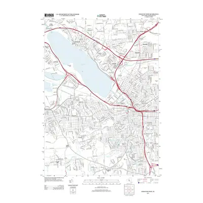
 2010 Syracuse West2010 Print · USGSCovers North Syracuse, including Syracuse, Clay, and other nearby areas
 - 2010 Map of Cicero, 2010 Print
 2010 Cicero2010 Print · USGSCovers North Syracuse, including Cicero, Constantia, and other nearby areas
 - 2013 Map of Syracuse West, 2013 Print
 2013 Syracuse West2013 Print · USGSCovers North Syracuse, including Syracuse, Clay, and other nearby areas
 - 2013 Map of Cicero, 2013 Print
 2013 Cicero2013 Print · USGSCovers North Syracuse, including Cicero, Constantia, and other nearby areas
 - 2013 Map of Brewerton, 2013 Print
 2013 Brewerton2013 Print · USGSCovers North Syracuse, including Clay, Salina, and other nearby areas
 - 2016 Map of Brewerton, 2016 Print
 2016 Brewerton2016 Print · USGSCovers North Syracuse, including Clay, Salina, and other nearby areas
 - 2016 Map of Syracuse West, 2016 Print
 2016 Syracuse West2016 Print · USGSCovers North Syracuse, including Syracuse, Clay, and other nearby areas
 - 2016 Map of Cicero, 2016 Print
 2016 Cicero2016 Print · USGSCovers North Syracuse, including Cicero, Constantia, and other nearby areas
 - 2019 Map of Syracuse West, 2019 Print
 2019 Syracuse West2019 Print · USGSCovers North Syracuse, including Syracuse, Clay, and other nearby areas
 - 2019 Map of Cicero, 2019 Print
 2019 Cicero2019 Print · USGSCovers North Syracuse, including Cicero, Constantia, and other nearby areas
 - 2019 Map of Brewerton, 2019 Print
 2019 Brewerton2019 Print · USGSCovers North Syracuse, including Clay, Salina, and other nearby areas
 - 2023 Map of Cicero, 2023 Print
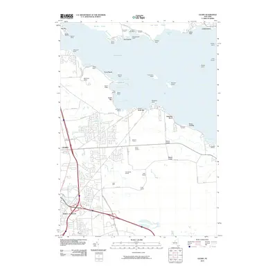
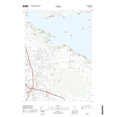
 2023 Cicero2023 Print · USGSOneida Lake shoreline communities and the expansive Cicero Swamp are captured here in the 2020s. Genealogists can locate several burial sites including Cicero Cem and Toad Harbor Cem, or trace the path of the historic Electric Railway.
 - 2023 Map of Syracuse West, 2023 Print
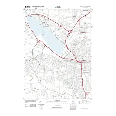
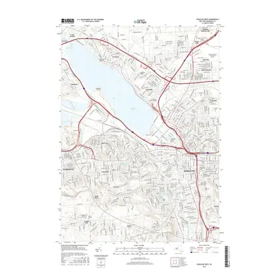
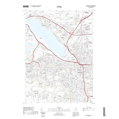
 2023 Syracuse West2023 Print · USGSSyracuse and its western suburbs appear in modern detail in this 2023 survey of the Salt City's urban and institutional landscape. Researchers can trace the grounds of Syracuse University, locate family plots in Oakwood Cem, and explore the shoreline of Onondaga Lake.
 - 2023 Map of Brewerton, 2023 Print
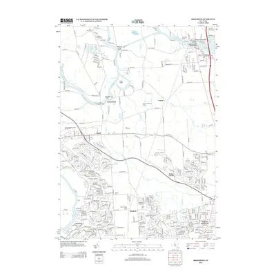
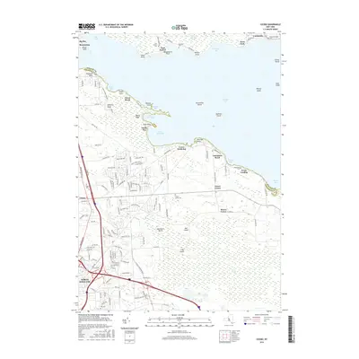
 2023 Brewerton2023 Print · USGSUpper Onondaga County near the Oswego border is defined by the winding Oneida River and its lush wetlands in the early twenty-first century. Researchers can trace family history at Sandridge Cem, explore the riverside at Oak Orchard, and locate local landmarks like the National Tractor Trailer School Inc.
End of results
Showing maps 1-15 of 15
Top cities near North Syracuse
- Syracuse historical maps
- Clay historical maps
- Manlius historical maps
- Salina historical maps
- Cicero historical maps
- DeWitt historical maps
See more
Frequently asked questions
- What are the different types of historical maps available for North Syracuse?
- What is the oldest map of North Syracuse?
- Where can I purchase historical maps of North Syracuse for my home or office?
- Where can I download high-res historical maps of North Syracuse?
- Are there historical topographic maps available for North Syracuse?
- Is there historical aerial imagery available for North Syracuse?
- Where are historical maps of North Syracuse sourced from?