2000s (21st Century) Maps of Montgomery, New York
Explore 25 historic maps of Montgomery from the 2000s (21st Century). These maps offer a rare glimpse into what life looked like during the 2000s — showing old roads, neighborhoods, homes, and landmarks that have changed or disappeared over time.
Whether you're researching your family's past, planning a metal detecting trip, or studying how Montgomery's landscape evolved across the 2000s, these high-resolution maps are a powerful tool for exploring the history of this region.
- Focus on a specific era: All maps on this page are from the 2000s, giving you a focused view of this time period.
- See what’s changed: Compare century-old streets, trails, and buildings to today's modern landscape using overlays and satellite layers.
- Research with precision: Use these maps for genealogy, historical research, land use analysis, or educational projects.
- View, download, or print: Maps are fully viewable online in high resolution, and can be downloaded or printed for your own records.
Start exploring Montgomery's history through authentic maps from the 2000s. This is your window into the past.
Montgomery, NY maps
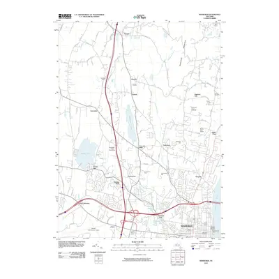
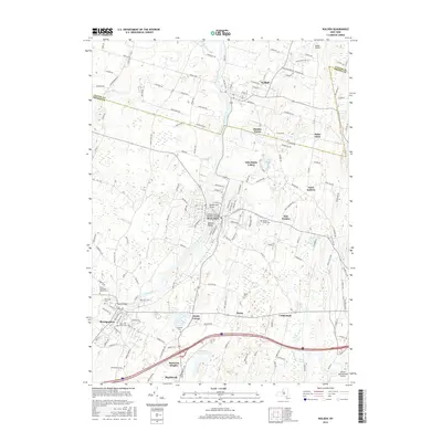
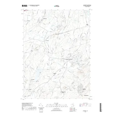
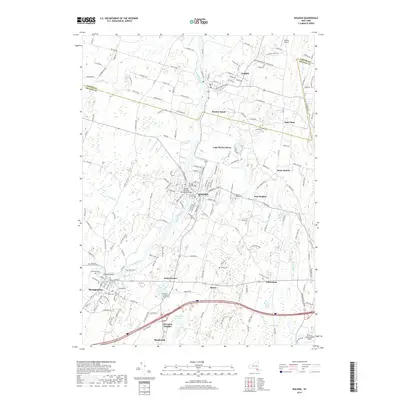
(25)- 2010 Map of Goshen, 2010 Print
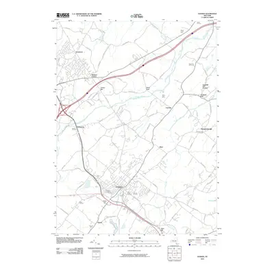 2010 Goshen2010 Print · USGSCovers Montgomery, including Wallkill, Blooming Grove, and other nearby areas
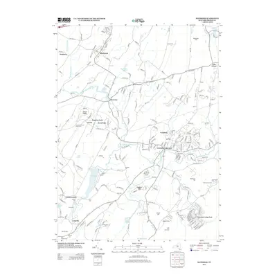
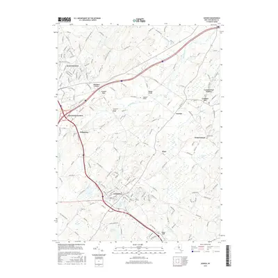
 - 2010 Map of Maybrook, 2010 Print
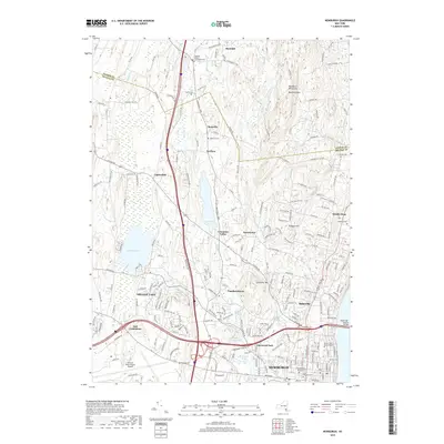
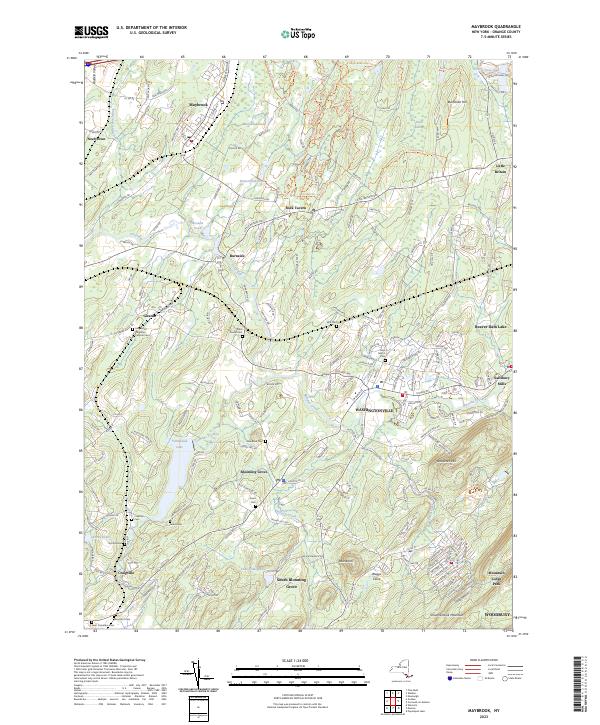
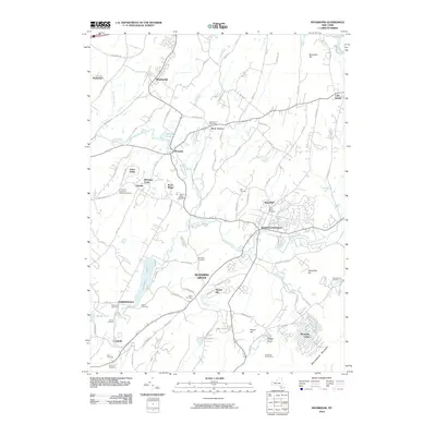 2010 Maybrook2010 Print · USGSCovers Montgomery, including New Windsor, Blooming Grove, and other nearby areas
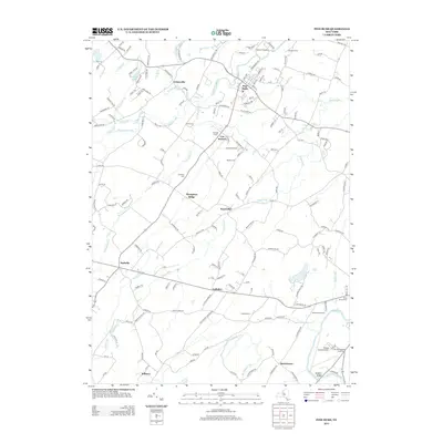
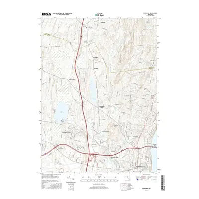
 - 2010 Map of Walden, 2010 Print
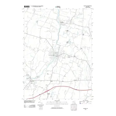 2010 Walden2010 Print · USGSCovers Montgomery, including Newburgh, New Windsor, and other nearby areas
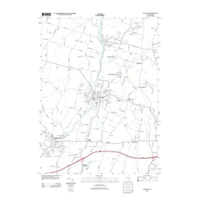
 - 2010 Map of Pine Bush, 2010 Print
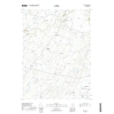
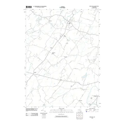 2010 Pine Bush2010 Print · USGSCovers Montgomery, including Wallkill, Shawangunk, and other nearby areas
 - 2010 Map of Newburgh, 2010 Print
 2010 Newburgh2010 Print · USGSCovers Montgomery, including Newburgh, Newburgh, and other nearby areas
 - 2013 Map of Maybrook, 2013 Print
 2013 Maybrook2013 Print · USGSCovers Montgomery, including New Windsor, Blooming Grove, and other nearby areas
 - 2013 Map of Pine Bush, 2013 Print
 2013 Pine Bush2013 Print · USGSCovers Montgomery, including Wallkill, Shawangunk, and other nearby areas
 - 2013 Map of Walden, 2013 Print
 2013 Walden2013 Print · USGSCovers Montgomery, including Newburgh, New Windsor, and other nearby areas
 - 2013 Map of Goshen, 2013 Print
 2013 Goshen2013 Print · USGSCovers Montgomery, including Wallkill, Blooming Grove, and other nearby areas
 - 2013 Map of Newburgh, 2013 Print
 2013 Newburgh2013 Print · USGSCovers Montgomery, including Newburgh, Newburgh, and other nearby areas
 - 2016 Map of Maybrook, 2016 Print
 2016 Maybrook2016 Print · USGSCovers Montgomery, including New Windsor, Blooming Grove, and other nearby areas
 - 2016 Map of Pine Bush, 2016 Print
 2016 Pine Bush2016 Print · USGSCovers Montgomery, including Wallkill, Shawangunk, and other nearby areas
 - 2016 Map of Walden, 2016 Print
 2016 Walden2016 Print · USGSCovers Montgomery, including Newburgh, New Windsor, and other nearby areas
 - 2016 Map of Goshen, 2016 Print
 2016 Goshen2016 Print · USGSCovers Montgomery, including Wallkill, Blooming Grove, and other nearby areas
 - 2016 Map of Newburgh, 2016 Print
 2016 Newburgh2016 Print · USGSCovers Montgomery, including Newburgh, Newburgh, and other nearby areas
 - 2019 Map of Goshen, 2019 Print
 2019 Goshen2019 Print · USGSCovers Montgomery, including Wallkill, Blooming Grove, and other nearby areas
 - 2019 Map of Maybrook, 2019 Print
 2019 Maybrook2019 Print · USGSCovers Montgomery, including New Windsor, Blooming Grove, and other nearby areas
 - 2019 Map of Pine Bush, 2019 Print
 2019 Pine Bush2019 Print · USGSCovers Montgomery, including Wallkill, Shawangunk, and other nearby areas
 - 2019 Map of Walden, 2019 Print
 2019 Walden2019 Print · USGSCovers Montgomery, including Newburgh, New Windsor, and other nearby areas
 - 2019 Map of Newburgh, 2019 Print
 2019 Newburgh2019 Print · USGSCovers Montgomery, including Newburgh, Newburgh, and other nearby areas
 - 2023 Map of Pine Bush, 2023 Print
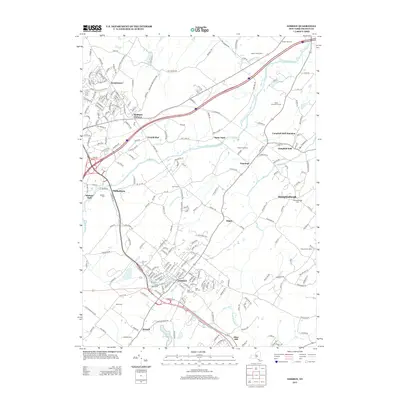
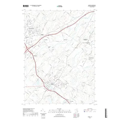
 2023 Pine Bush2023 Print · USGSOrange County and the Wallkill Valley are shown here in the early twenty-first century, centered on the historic crossroads of Pine Bush. Genealogists and local historians can trace family-named sites such as Howell Cem and Crawford Cem alongside the winding Shawangunk Kill.
 - 2023 Map of Walden, 2023 Print
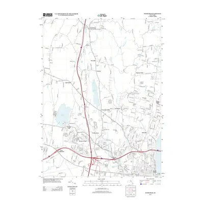
 2023 Walden2023 Print · USGSThe Wallkill Valley at the Ulster and Orange County border is captured here in recent detail. Genealogists can locate several historic burial sites, including Old Brick Church Cem and Berea Cem, alongside the Borden Estate.
 - 2023 Map of Goshen, 2023 Print
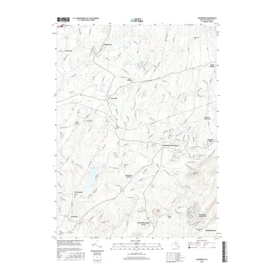
 2023 Goshen2023 Print · USGSThe Goshen area of Orange County comes alive in this contemporary record of its river-and-rail landscape. Researchers can trace family history at Saint Johns Cem, explore the Wallkill Valley, or locate the Orange County Courthouse.
 - 2023 Map of Maybrook, 2023 Print
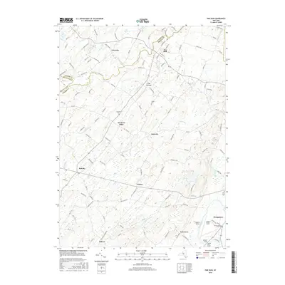
 2023 Maybrook2023 Print · USGSOrange County's pastoral and residential landscape is captured in modern detail, centered on the historic corridors of Washingtonville and Blooming Grove. Researchers can locate numerous burial sites like Woodhull Cem and Saint Davids Cem alongside the waters of Moodna Creek.
 - 2023 Map of Newburgh, 2023 Print
 2023 Newburgh2023 Print · USGSOrange County and southern Ulster County are captured here in a contemporary era of suburban growth and institutional expansion. Researchers can trace historical lineage through the Rossville Cem and Friends Cem or locate modern landmarks like Stewart International Airport.
End of results
Showing maps 1-25 of 25
Top cities near Montgomery
- Kiryas Joel historical maps
- Palm Tree historical maps
- Warwick historical maps
- Newburgh historical maps
- Wallkill historical maps
- Middletown historical maps
See more
Top neighborhoods of Montgomery
- Scotts Corners historical maps
- Berea historical maps
- Coldenham historical maps
- East Walden historical maps
- Fox Hill Bruderhof historical maps
- Kaisertown historical maps
See more
Frequently asked questions
- What are the different types of historical maps available for Montgomery?
- What is the oldest map of Montgomery?
- Where can I purchase historical maps of Montgomery for my home or office?
- Where can I download high-res historical maps of Montgomery?
- Are there historical topographic maps available for Montgomery?
- Is there historical aerial imagery available for Montgomery?
- Where are historical maps of Montgomery sourced from?