2000s (21st Century) Maps of Otsego County, New York
Explore 160 historic maps of Otsego County from the 2000s (21st Century). These maps offer a rare glimpse into what life looked like during the 2000s — showing old roads, neighborhoods, homes, and landmarks that have changed or disappeared over time.
Whether you're researching your family's past, planning a metal detecting trip, or studying how Otsego County's landscape evolved across the 2000s, these high-resolution maps are a powerful tool for exploring the history of this region.
- Focus on a specific era: All maps on this page are from the 2000s, giving you a focused view of this time period.
- See what’s changed: Compare century-old streets, trails, and buildings to today's modern landscape using overlays and satellite layers.
- Research with precision: Use these maps for genealogy, historical research, land use analysis, or educational projects.
- View, download, or print: Maps are fully viewable online in high resolution, and can be downloaded or printed for your own records.
Start exploring Otsego County's history through authentic maps from the 2000s. This is your window into the past.
Otsego County, NY maps
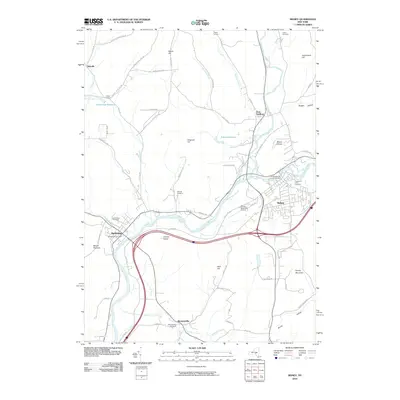
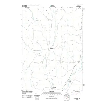
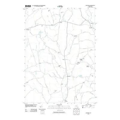
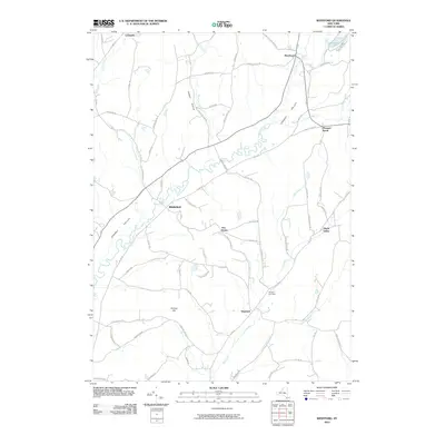
(160)- 2010 Map of Franklin, 2010 Print
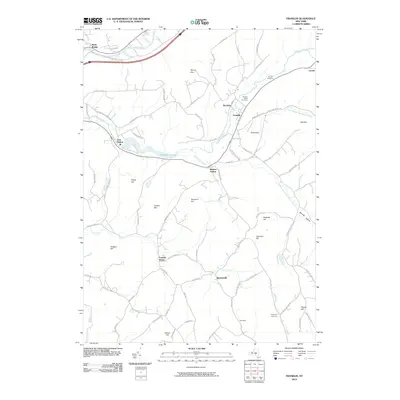 2010 Franklin2010 Print · USGSCovers Otsego County, including Sidney, Walton, and other nearby areas
 - 2010 Map of Davenport, 2010 Print
 2010 Davenport2010 Print · USGSCovers Otsego County, including Davenport, Maryland, and other nearby areas
 - 2010 Map of West Davenport, 2010 Print
 2010 West Davenport2010 Print · USGSCovers Otsego County, including Oneonta, Davenport, and other nearby areas
 - 2010 Map of Otego, 2010 Print
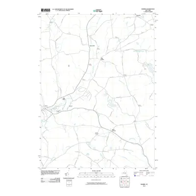
 2010 Otego2010 Print · USGSCovers Otsego County, including Sidney, Oneonta, and other nearby areas
 - 2010 Map of Unadilla, 2010 Print
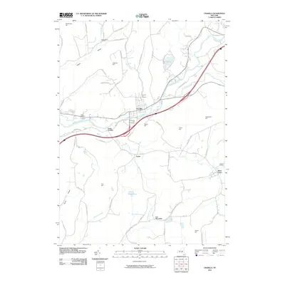 2010 Unadilla2010 Print · USGSCovers Otsego County, including Sidney, Unadilla, and other nearby areas
 - 2010 Map of Gilbertsville, 2010 Print
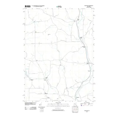
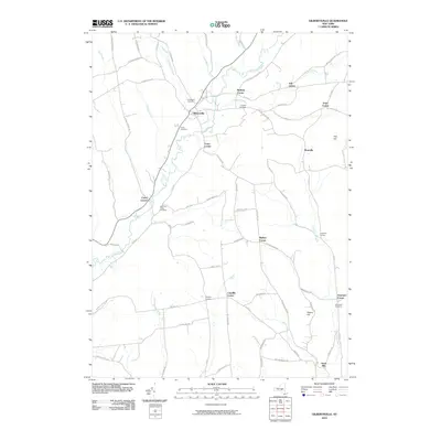 2010 Gilbertsville2010 Print · USGSCovers Otsego County, including Unadilla, Otego, and other nearby areas
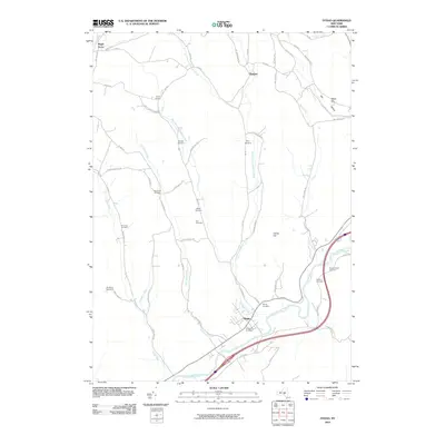
 - 2010 Map of Sidney, 2010 Print
 2010 Sidney2010 Print · USGSCovers Otsego County, including Sidney, Unadilla, and other nearby areas
 - 2010 Map of Oneonta, 2010 Print
 2010 Oneonta2010 Print · USGSCovers Otsego County, including Oneonta, Oneonta, and other nearby areas
 - 2010 Map of Guilford, 2010 Print
 2010 Guilford2010 Print · USGSCovers Otsego County, including Unadilla, Norwich, and other nearby areas
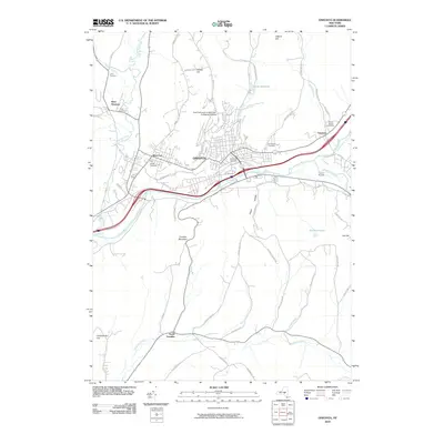
 - 2010 Map of Edmeston, 2010 Print
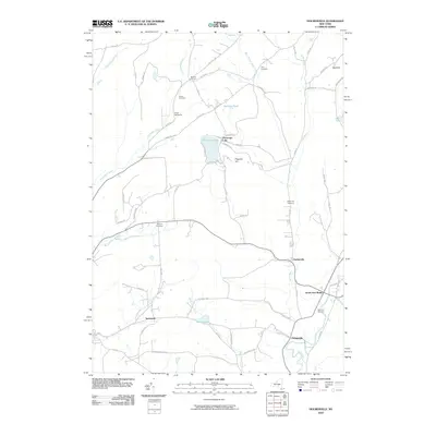
 2010 Edmeston2010 Print · USGSCovers Otsego County, including Edmeston, Pittsfield, and other nearby areas
 - 2010 Map of Brookfield, 2010 Print
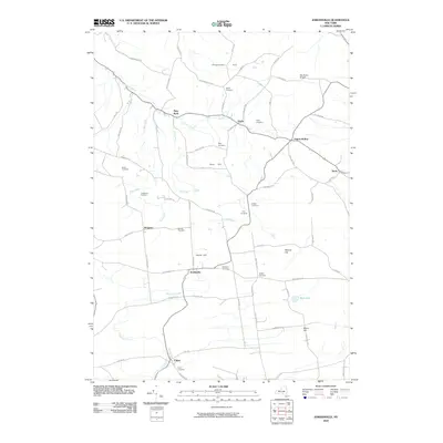
 2010 Brookfield2010 Print · USGSCovers Otsego County, including Sangerfield, Brookfield, and other nearby areas
 - 2010 Map of Holmesville, 2010 Print
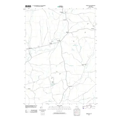
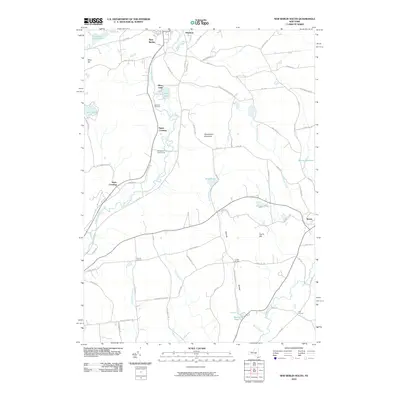
 2010 Holmesville2010 Print · USGSCovers Otsego County, including Norwich, New Berlin, and other nearby areas
 - 2010 Map of New Berlin South, 2010 Print
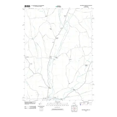
 2010 New Berlin South2010 Print · USGSCovers Otsego County, including New Berlin, Morris, and other nearby areas
 - 2010 Map of New Berlin North, 2010 Print
 2010 New Berlin North2010 Print · USGSCovers Otsego County, including New Berlin, Brookfield, and other nearby areas
 - 2010 Map of Schuyler Lake, 2010 Print
 2010 Schuyler Lake2010 Print · USGSCovers Otsego County, including Otsego, Richfield, and other nearby areas
 - 2010 Map of Morris, 2010 Print
 2010 Morris2010 Print · USGSCovers Otsego County, including Otego, Laurens, and other nearby areas
 - 2010 Map of Unadilla Forks, 2010 Print
 2010 Unadilla Forks2010 Print · USGSCovers Otsego County, including Brookfield, Richfield, and other nearby areas
 - 2010 Map of Millers Mills, 2010 Print
 2010 Millers Mills2010 Print · USGSCovers Otsego County, including German Flatts, Ilion, and other nearby areas
 - 2010 Map of Hartwick, 2010 Print
 2010 Hartwick2010 Print · USGSCovers Otsego County, including Otsego, Hartwick, and other nearby areas
 - 2010 Map of South Valley, 2010 Print
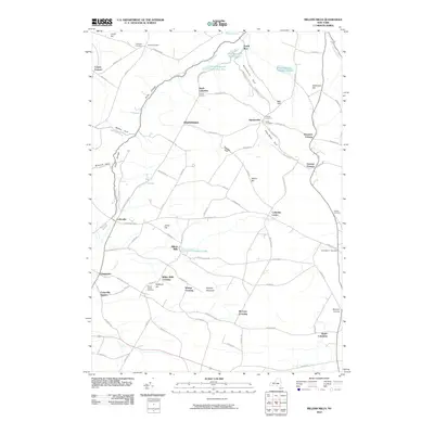
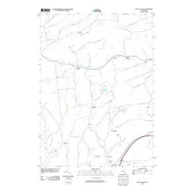 2010 South Valley2010 Print · USGSCovers Otsego County, including Richmondville, Worcester, and other nearby areas
 - 2010 Map of Jordanville, 2010 Print
 2010 Jordanville2010 Print · USGSCovers Otsego County, including German Flatts, Columbia, and other nearby areas
 - 2010 Map of Westford, 2010 Print
 2010 Westford2010 Print · USGSCovers Otsego County, including Middlefield, Westford, and other nearby areas
 - 2010 Map of Charlotteville, 2010 Print
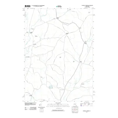
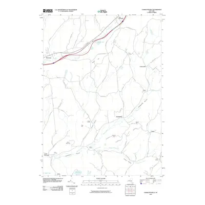 2010 Charlotteville2010 Print · USGSCovers Otsego County, including Worcester, Harpersfield, and other nearby areas
 - 2010 Map of Cooperstown, 2010 Print
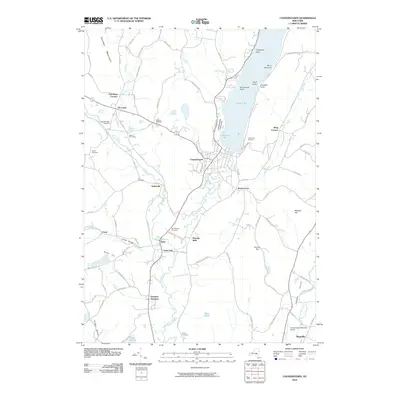 2010 Cooperstown2010 Print · USGSCovers Otsego County, including Otsego, Hartwick, and other nearby areas
 - 2010 Map of Van Hornesville, 2010 Print
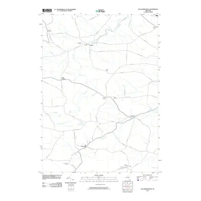 2010 Van Hornesville2010 Print · USGSCovers Otsego County, including Minden, Little Falls, and other nearby areas
Showing maps 1-25 of 160
Top cities of Otsego County
- Oneonta historical maps
- Oneonta historical maps
- Unadilla historical maps
- Otsego historical maps
- Milford historical maps
- Otego historical maps
See more
Frequently asked questions
- What are the different types of historical maps available for Otsego County?
- What is the oldest map of Otsego County?
- Where can I purchase historical maps of Otsego County for my home or office?
- Where can I download high-res historical maps of Otsego County?
- Are there historical topographic maps available for Otsego County?
- Is there historical aerial imagery available for Otsego County?
- Where are historical maps of Otsego County sourced from?