Old Maps of Lawrence, New York for Academic Research
Study the evolution of Lawrence with 44 high-resolution historic maps. Whether you're teaching, researching, or modeling changes in land use, these maps provide essential visual documentation of urban, environmental, and geographic change.
- Analyze long-term change: Track patterns in development, transportation, and natural features.
- Ideal for environmental or urban studies: Support academic projects with primary historical map data.
- Use in the classroom or lab: Educators and researchers rely on these maps to bring historical context to life.
These maps are a powerful tool for teaching, research, and visualizing how Lawrence has changed over the decades.
Lawrence, NY maps
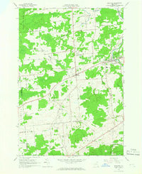
(44)- 1906 Map of Massena, 1956 Print
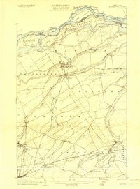
 1906 Massena1956 Print · USGSSt. Lawrence County is mapped here at the opening of the twentieth century, showcasing a landscape of powerful river rapids and vital international border crossings. Genealogists can trace early rail stations and rural hamlets like North Stockholm Knapps Sta, Massena Center, and Winthrop.
 - 1907 Map of Massena
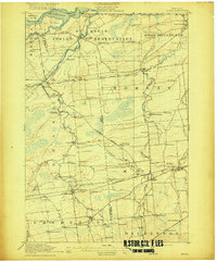
 1907 Massena1907 Print · USGSSt. Lawrence County is depicted in the early twentieth century, showing a landscape defined by the powerful rapids of the upper river before modern dams. Researchers can trace historic river landings like Louisville Landing, the path of the Massena Power Canal, and small rail stops such as North Stockholm Knapps Sta.6 unique versions available
 - 1915 Map of Moira, 1957 Print
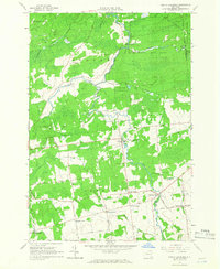
 1915 Moira1957 Print · USGSNorthern New York's borderlands are captured here in the early twentieth century, showing the intersection of tribal lands and rail-driven commerce. Genealogists can trace family names and early rural life through Brasher Iron Works, Potter School, and Irish Corners.
 - 1917 Map of Moira
 1917 Moira1917 Print · USGSNorthern New York's borderlands come alive in the years before the Great War, showing a landscape defined by the St Regis Indian Reservation and busy rail lines. Researchers can trace family landmarks like Laverys Corner, the Brasher Iron Works, and early industrial sites like Wagstaff Factory.4 unique versions available
 - 1919 Map of Nicholville, 1958 Print
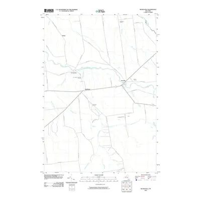
 1919 Nicholville1958 Print · USGSIn the Adirondack foothills during the early twentieth century, small riverside settlements and timber camps defined local life. Genealogists can trace family footprints through numerous rural schoolhouses like Water Street School and old crossroads like Heath Hill Corners.2 unique versions available
 - 1921 Map of Nicholville
 1921 Nicholville1921 Print · USGSUpper St. Lawrence and Franklin counties come alive in the early twentieth century as a landscape of timber-driven river towns and rural school districts. Genealogists can trace family footprints near St Regis Falls, Dickinson Center, and numerous rural sites like Harper School or Joe Indian.4 unique versions available
 - 1944 Map of Moira
 1944 Moira1944 Print · USGSNorthern New York at the height of the war years reveals a landscape defined by the St Regis Indian Reservation and the Rutland railroad. Genealogists can locate family landmarks like Taylors Corner and dozens of numbered country schoolhouses.
 - 1946 Map of Brasher Falls
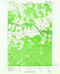
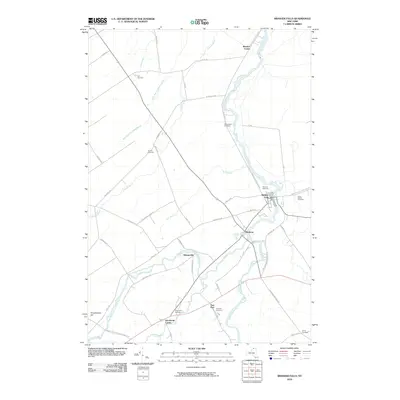
 1946 Brasher Falls1946 Print · USGSSt. Lawrence County is mapped during the mid-1940s, centered on the river-fed hamlets of the St. Regis valley. Genealogists can locate family landmarks like St Patrick Cem and Willis Cem, or trace the old Rutland Branch rail line.
 - 1948 Map of Ogdensburg, 1973 Print
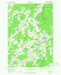
 1948 Ogdensburg1973 Print · USGSThe international border along the St Lawrence River comes to life in the late 1940s, showing the vital rail and water connections between New York and Ontario. Researchers can trace the grounds of St Lawrence University, the massive Camp Drum military reservation, and the historic Rideau River and Canal.2 unique versions available
 - 1951 Map of Ogdensburg
 1951 Ogdensburg1951 Print · USGSThe St. Lawrence frontier and the North Country are captured here during the post-war era, from the river ports to the high Adirondacks. Genealogists and historians can trace the rail-and-river economy through Ogdensburg, the Rutland rail lines, and Potsdam.
 - 1953 Map of Ogdensburg
 1953 Ogdensburg1953 Print · USGSThe North Country and St. Lawrence Valley are shown here in the early fifties, just as the region’s rail-and-river economy remained in full swing. Genealogists and historians can trace family-named corners and rural hubs along the Rutland railroad or locate heritage sites near Ogdensburg, Potsdam, and the St Regis Indian Reservation.
 - 1961 Map of Ogdensburg
 1961 Ogdensburg1961 Print · USGSThe St. Lawrence valley and the Adirondack high country meet in this early sixties survey during a peak era for rail and river commerce. Genealogists and historians can trace the paths of the New York Central railroad through remote settlements like Wanakena, Conifer, and Piercefield.
 - 1964 Map of Brushton, 1966 Print
 1964 Brushton1966 Print · USGSNorthern New York's rural townships are shown here in the 1960s, where old rail corridors still cut through the landscape. Genealogists can trace family lines at Sunnyside Cem, St Marys Cem, and the rural community of Alburg.2 unique versions available
 - 1964 Map of Saint Regis Falls, 1966 Print
 1964 Saint Regis Falls1966 Print · USGSThe river-powered village of Saint Regis Falls and the surrounding Adirondack foothills are captured here in the mid-1960s. Researchers can locate family sites at St Anns Ch, trace the Old Railroad Grade, and explore lakefront landmarks like Lake Ozonia.2 unique versions available
 - 1964 Map of Brasher Falls, 1966 Print
 1964 Brasher Falls1966 Print · USGSUpper St. Lawrence County is captured in the mid-1960s, a time when the river-valley communities of Brasher Falls and Winthrop were the region's social hubs. Genealogists can trace family landmarks across the countryside, from Richardson Cem and St Patricks Cem to rural settlements like Skinnerville.2 unique versions available
 - 1964 Map of North Lawrence, 1966 Print
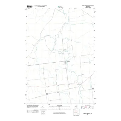
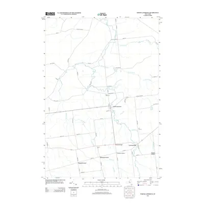
 1964 North Lawrence1966 Print · USGSNorthern St. Lawrence County appears here in the mid-sixties, dominated by state forests and the winding Deer River. Genealogists and local historians can trace family-named crossroads like Coteys Corner or locate ancestral sites at Flint Chaffee Cem and Lawrenceville.2 unique versions available
 - 1964 Map of Nicholville, 1966 Print
 1964 Nicholville1966 Print · USGSIn the mid-1960s, St. Lawrence County's southern townships transitioned from the rolling farmland of the St. Lawrence Valley into the dense forests of the Adirondacks. Genealogists and researchers can trace the historic riverfront hamlets of Nicholville and Fort Jackson, alongside rural landmarks like Holy Cross Cem and Independent Hill.2 unique versions available
 - 1985 Map of Massena
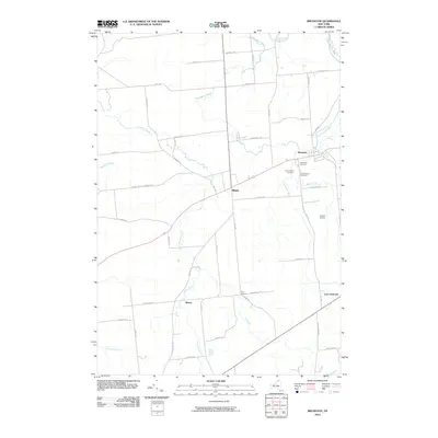
 1985 Massena1985 Print · USGSNorthern New York at the mid-eighties shows a landscape of river-driven industry and high mountain wilderness along the Canadian border. Researchers can trace the legacy of iron working and milling in Brasher Iron Works or follow the Raquette River through Massena and Potsdam.
 - 1994 Map of Massena
 1994 Massena1994 Print · USGSThe St. Lawrence River valley and northern Adirondacks meet in the mid-1990s, revealing a landscape of international shipping, rail corridors, and dense state forests. Genealogists and historians can trace the foundations of Massena, the St Regis Indian Reservation, and small hamlets like Brasher Iron Works.
 - 2010 Map of North Lawrence, 2010 Print
 2010 North Lawrence2010 Print · USGSCovers Lawrence, including Stockholm, Moira, and other nearby areas
 - 2010 Map of Brasher Falls, 2010 Print
 2010 Brasher Falls2010 Print · USGSCovers Lawrence, including Norfolk, Stockholm, and other nearby areas
 - 2010 Map of Brushton, 2010 Print
 2010 Brushton2010 Print · USGSCovers Lawrence, including Moira, Brasher, and other nearby areas
 - 2010 Map of Nicholville, 2010 Print
 2010 Nicholville2010 Print · USGSCovers Lawrence, including Stockholm, Hopkinton, and other nearby areas
 - 2010 Map of Saint Regis Falls, 2010 Print
 2010 Saint Regis Falls2010 Print · USGSCovers Lawrence, including Hopkinton, Dickinson, and other nearby areas
 - 2013 Map of North Lawrence, 2013 Print
 2013 North Lawrence2013 Print · USGSCovers Lawrence, including Stockholm, Moira, and other nearby areas
Showing maps 1-25 of 44
Top cities near Lawrence
- Potsdam historical maps
- Massena historical maps
- Massena historical maps
- Norfolk historical maps
- Stockholm historical maps
- Louisville historical maps
See more
Top neighborhoods of Lawrence
- Taylors Corner historical maps
- Laverys Corner historical maps
- McEwens Corner historical maps
- North Lawrence historical maps
- Nicholville historical maps
- Wagstaff Corner historical maps
See more
Frequently asked questions
- What are the different types of historical maps available for Lawrence?
- What is the oldest map of Lawrence?
- Where can I purchase historical maps of Lawrence for my home or office?
- Where can I download high-res historical maps of Lawrence?
- Are there historical topographic maps available for Lawrence?
- Is there historical aerial imagery available for Lawrence?
- Where are historical maps of Lawrence sourced from?