2000s (21st Century) Maps of Moreau, New York
Explore 25 historic maps of Moreau from the 2000s (21st Century). These maps offer a rare glimpse into what life looked like during the 2000s — showing old roads, neighborhoods, homes, and landmarks that have changed or disappeared over time.
Whether you're researching your family's past, planning a metal detecting trip, or studying how Moreau's landscape evolved across the 2000s, these high-resolution maps are a powerful tool for exploring the history of this region.
- Focus on a specific era: All maps on this page are from the 2000s, giving you a focused view of this time period.
- See what’s changed: Compare century-old streets, trails, and buildings to today's modern landscape using overlays and satellite layers.
- Research with precision: Use these maps for genealogy, historical research, land use analysis, or educational projects.
- View, download, or print: Maps are fully viewable online in high resolution, and can be downloaded or printed for your own records.
Start exploring Moreau's history through authentic maps from the 2000s. This is your window into the past.
Moreau, NY maps
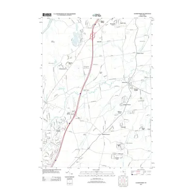
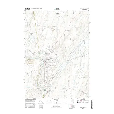
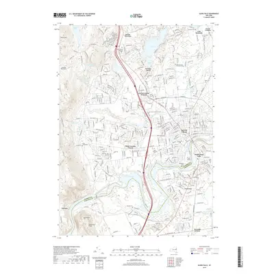
(25)- 2010 Map of Gansevoort, 2010 Print
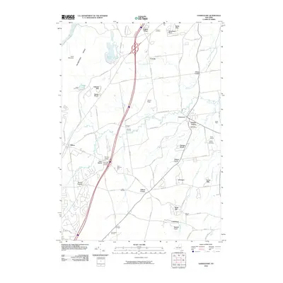 2010 Gansevoort2010 Print · USGSCovers Moreau, including Wilton, Corinth, and other nearby areas
 - 2010 Map of Fort Miller, 2010 Print
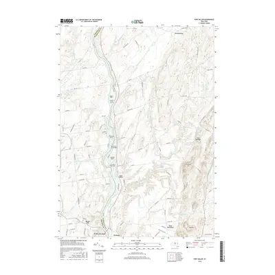
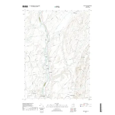
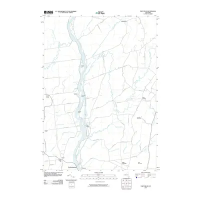 2010 Fort Miller2010 Print · USGSCovers Moreau, including Fort Edward, Northumberland, and other nearby areas
 - 2010 Map of Corinth, 2010 Print
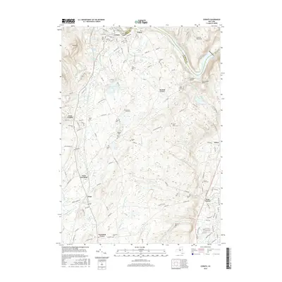
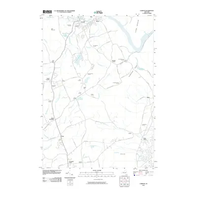 2010 Corinth2010 Print · USGSCovers Moreau, including Wilton, Greenfield, and other nearby areas
 - 2010 Map of Glens Falls, 2010 Print
 2010 Glens Falls2010 Print · USGSCovers Moreau, including Queensbury, Glens Falls, and other nearby areas
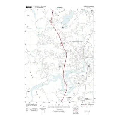
 - 2010 Map of Hudson Falls, 2010 Print
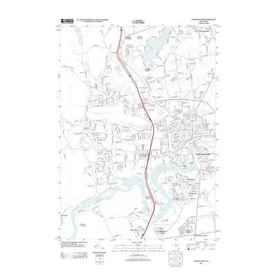
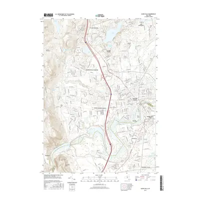
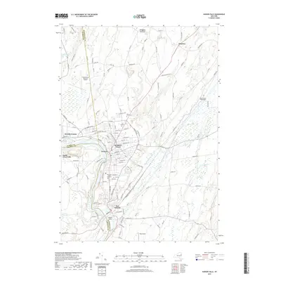
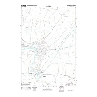 2010 Hudson Falls2010 Print · USGSCovers Moreau, including Queensbury, Glens Falls, and other nearby areas
 - 2013 Map of Hudson Falls, 2013 Print
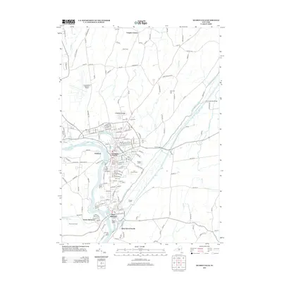 2013 Hudson Falls2013 Print · USGSCovers Moreau, including Queensbury, Glens Falls, and other nearby areas
 - 2013 Map of Corinth, 2013 Print
 2013 Corinth2013 Print · USGSCovers Moreau, including Wilton, Greenfield, and other nearby areas
 - 2013 Map of Fort Miller, 2013 Print
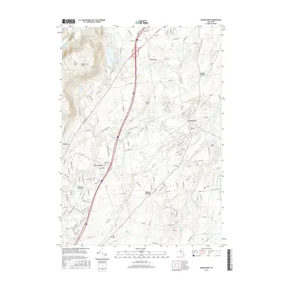
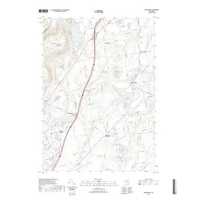
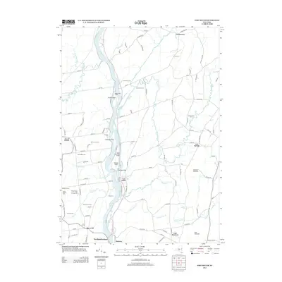 2013 Fort Miller2013 Print · USGSCovers Moreau, including Fort Edward, Northumberland, and other nearby areas
 - 2013 Map of Gansevoort, 2013 Print
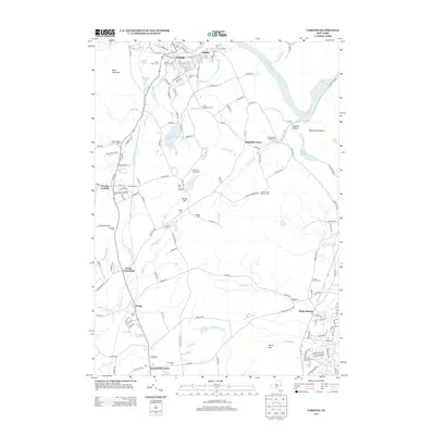
 2013 Gansevoort2013 Print · USGSCovers Moreau, including Wilton, Corinth, and other nearby areas
 - 2013 Map of Glens Falls, 2013 Print
 2013 Glens Falls2013 Print · USGSCovers Moreau, including Queensbury, Glens Falls, and other nearby areas
 - 2016 Map of Fort Miller, 2016 Print
 2016 Fort Miller2016 Print · USGSCovers Moreau, including Fort Edward, Northumberland, and other nearby areas
 - 2016 Map of Corinth, 2016 Print
 2016 Corinth2016 Print · USGSCovers Moreau, including Wilton, Greenfield, and other nearby areas
 - 2016 Map of Hudson Falls, 2016 Print
 2016 Hudson Falls2016 Print · USGSCovers Moreau, including Queensbury, Glens Falls, and other nearby areas
 - 2016 Map of Glens Falls, 2016 Print
 2016 Glens Falls2016 Print · USGSCovers Moreau, including Queensbury, Glens Falls, and other nearby areas
 - 2016 Map of Gansevoort, 2016 Print
 2016 Gansevoort2016 Print · USGSCovers Moreau, including Wilton, Corinth, and other nearby areas
 - 2019 Map of Gansevoort, 2019 Print
 2019 Gansevoort2019 Print · USGSCovers Moreau, including Wilton, Corinth, and other nearby areas
 - 2019 Map of Glens Falls, 2019 Print
 2019 Glens Falls2019 Print · USGSCovers Moreau, including Queensbury, Glens Falls, and other nearby areas
 - 2019 Map of Corinth, 2019 Print
 2019 Corinth2019 Print · USGSCovers Moreau, including Wilton, Greenfield, and other nearby areas
 - 2019 Map of Fort Miller, 2019 Print
 2019 Fort Miller2019 Print · USGSCovers Moreau, including Fort Edward, Northumberland, and other nearby areas
 - 2019 Map of Hudson Falls, 2019 Print
 2019 Hudson Falls2019 Print · USGSCovers Moreau, including Queensbury, Glens Falls, and other nearby areas
 - 2023 Map of Gansevoort, 2023 Print
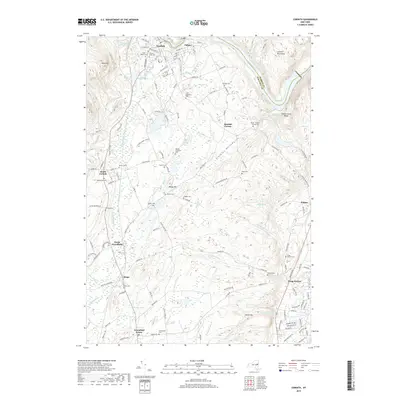
 2023 Gansevoort2023 Print · USGSSaratoga County's modern landscape is captured here in the early 2020s, showing the intersection of longstanding hamlets and newer infrastructure. Genealogists can locate several historic burial grounds like Gurn Springs Cem and Emersons Corners Cem near Gurn Spring.
 - 2023 Map of Fort Miller, 2023 Print
 2023 Fort Miller2023 Print · USGSUpper Hudson River settlements and islands are captured in this contemporary look at the Washington and Saratoga County border. Researchers can trace family plots at Thompson Cem and Bacon Hill Cem or explore the riverfronts of Fort Miller and Northumberland.
 - 2023 Map of Hudson Falls, 2023 Print
 2023 Hudson Falls2023 Print · USGSThe industrial corridor of Hudson Falls and Fort Edward is captured here alongside the historic Old Champlain Canal. Genealogists and historians can trace family plots at Union Cem and Saint Pauls Cem or locate the Washington County Courthouse.
 - 2023 Map of Corinth, 2023 Print
 2023 Corinth2023 Print · USGSUpper Saratoga County at the edge of the Adirondacks is captured here in modern detail, from the riverfront of Corinth to the heights of the Palmertown Range. Genealogists can trace family heritage through numerous rural burial sites like Davis-Bedell Young Cem and Clothier Cem.
 - 2023 Map of Glens Falls, 2023 Print
 2023 Glens Falls2023 Print · USGSThe Hudson River corridor and the growing suburbs of Warren and Saratoga counties are captured in this recent survey. Researchers can trace local heritage through Glens Falls Cem, SUNY Adirondack Community College, and the family-named Austin Cem.
End of results
Showing maps 1-25 of 25
Top cities near Moreau
- Queensbury historical maps
- Saratoga Springs historical maps
- Milton historical maps
- Wilton historical maps
- Malta historical maps
- Glens Falls historical maps
See more
Top neighborhoods of Moreau
- Fernwood historical maps
- Fortsville historical maps
- Reynolds Corners historical maps
- Clarks Corner historical maps
- Fenimore historical maps
- South Glens Falls historical maps
Frequently asked questions
- What are the different types of historical maps available for Moreau?
- What is the oldest map of Moreau?
- Where can I purchase historical maps of Moreau for my home or office?
- Where can I download high-res historical maps of Moreau?
- Are there historical topographic maps available for Moreau?
- Is there historical aerial imagery available for Moreau?
- Where are historical maps of Moreau sourced from?