1940s Maps of Stillwater, New York
Explore 12 historic maps of Stillwater from the 1940s. These maps offer a rare glimpse into what life looked like during the 1940s — showing old roads, neighborhoods, homes, and landmarks that have changed or disappeared over time.
Whether you're researching your family's past, planning a metal detecting trip, or studying how Stillwater's landscape evolved across the 1940s, these high-resolution maps are a powerful tool for exploring the history of this region.
- Focus on a specific era: All maps on this page are from the 1940s, giving you a focused view of this time period.
- See what’s changed: Compare century-old streets, trails, and buildings to today's modern landscape using overlays and satellite layers.
- Research with precision: Use these maps for genealogy, historical research, land use analysis, or educational projects.
- View, download, or print: Maps are fully viewable online in high resolution, and can be downloaded or printed for your own records.
Start exploring Stillwater's history through authentic maps from the 1940s. This is your window into the past.
Stillwater, NY maps
(12)- 1940 Map of Schuylerville
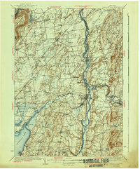 1940 Schuylerville1940 Print · USGSSaratoga and Washington Counties are shown here just before the mid-century, defined by the industrial river towns and the grounds of the Saratoga Battlefield. Genealogists can trace family names at Clarks Corners or Quaker Springs and locate early 20th-century landmarks like the Saratoga Battle Monument.3 unique versions available
 - 1942 Map of Saratoga
 1942 Saratoga1942 Print · USGSSaratoga and the foothills of the Adirondacks are captured in the late 1930s, documenting a landscape of grand estates and growing paper-mill towns. Genealogists can trace family names through rural landmarks like Daketown Sch, Malta Ridge Cem, and Rock City Falls.2 unique versions available
 - 1947 Map of Schenectady, 1954 Print
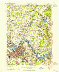 1947 Schenectady1954 Print · USGSThe Schenectady region in the late 1940s reveals a powerful industrial hub at the intersection of rail, river, and canal. Researchers can trace the legacy of the Erie Canal, find rural district schools, and locate old family crossroads like Groom Corners and Vischer Ferry.2 unique versions available
 - 1947 Map of Saratoga, 1955 Print
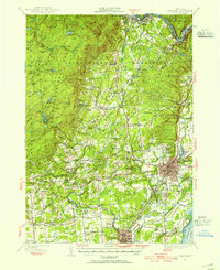 1947 Saratoga1955 Print · USGSSaratoga County was a hub of sport and industry in the late 1940s, from the famous racing grounds to the paper mill villages. Researchers can trace the mid-century footprints of SKIDMORE COLLEGE, the SARATOGA RACEWAY, and local landmarks like the COUNTY HOME.3 unique versions available
 - 1947 Map of Schuylerville, 1958 Print
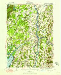 1947 Schuylerville1958 Print · USGSUpper Hudson Valley life and Revolutionary War heritage meet in the late 1940s. Trace the path of the Champlain Canal and find local landmarks like the Saratoga Battle Monument and the Fernwood Trout Hatchery.3 unique versions available
 - 1947 Map of Cohoes, 1968 Print
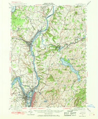 1947 Cohoes1968 Print · USGSThe Hudson and Mohawk river valleys converge here in the mid-1940s, revealing a dense network of canals and early industrial railroads. Researchers can trace the Champlain Canal (Abandoned), find old rural schoolhouses, and locate landmarks like the Fire Lookout Tower and Cohoes Falls.
 - 1948 Map of Schenectady
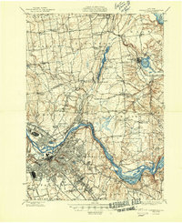 1948 Schenectady1948 Print · USGSSchenectady and its surrounding Saratoga County townships are captured here in the late 1940s as industrial rail hubs and rural hamlets met. Genealogists and local historians can trace family-named sites like Groom Corners, the Erie Canal (Abandoned), and Vischer Ferry.
 - 1948 Map of Albany, 1951 Print
 1948 Albany1951 Print · USGSThe Hudson and Connecticut River valleys are captured here in the late 1940s, showing the vital rail and water corridors of the Northeast. You can trace the Boston and Maine tracks past Mt Greylock or locate early settlements like Great Barrington and Bennington.
 - 1949 Map of Schuylerville
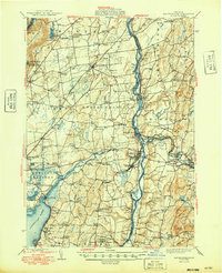 1949 Schuylerville1949 Print · USGSUpper Hudson Valley life in the late nineteen-forties centers on the river and its canal, shortly after the national park was established. Genealogists and historians can trace family locations near Victory Mills, old rural burial grounds like Griswold Cem, and the Fernwood Trout Hatchery.
 - 1949 Map of Cohoes
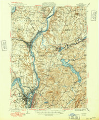 1949 Cohoes1949 Print · USGSThe Hudson and Mohawk river valleys meet in the late 1940s at the industrial nexus of Cohoes and Troy. Local historians can trace early transport routes along the Champlain Canal, find family names near Bemis Heights, or locate old landmarks like the Fire Lookout Tower.2 unique versions available
 - 1949 Map of Schenectady
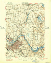 1949 Schenectady1949 Print · USGSSchenectady and its surrounding Saratoga County townships are captured here in the late 1940s as the riverfront industry and rail networks remained in full swing. Genealogists can locate family landmarks in old hamlets like Maltaville and Groom Corners or trace the historic Erie Canal (Abandoned).
 - 1949 Map of Saratoga
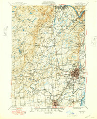 1949 Saratoga1949 Print · USGSSaratoga Springs and the surrounding Adirondack foothills are shown here in the mid-century, capturing a world of historic horse racing and rural industry. Researchers can trace family roots through numerous local landmarks like Ballou Cem, Middle Grove, and the Boyhaven Boy Scout Camp.
End of results
Showing maps 1-12 of 12
Top cities near Stillwater
- Colonie historical maps
- Schenectady historical maps
- Troy historical maps
- Clifton Park historical maps
- Guilderland historical maps
- Glenville historical maps
See more
Top neighborhoods of Stillwater
- Snake Hill historical maps
- Wayville historical maps
- East Saratoga Junction historical maps
- Stillwater Junction historical maps
- Willow Glen historical maps
- Ketchums Corners historical maps
See more
Frequently asked questions
- What are the different types of historical maps available for Stillwater?
- What is the oldest map of Stillwater?
- Where can I purchase historical maps of Stillwater for my home or office?
- Where can I download high-res historical maps of Stillwater?
- Are there historical topographic maps available for Stillwater?
- Is there historical aerial imagery available for Stillwater?
- Where are historical maps of Stillwater sourced from?