Old Maps of Orange, New York for Hiking & Exploration
Hike through history with 35 historic maps of Orange. Explore old trails, ghost towns, and forgotten backroads — perfect for outdoor adventurers and local explorers.
- Rediscover forgotten places: Map out old mining camps, roads, and footpaths that no longer exist on modern maps.
- Layer with modern tools: Combine with LiDAR or satellite views to plan hikes through historical terrain.
- Made for exploration: Popular among hikers, overlanders, and local history lovers.
Use these maps to find adventure and explore the hidden past of Orange.
Orange, NY maps
(35)- 1898 Map of Watkins Glen, 1961 Print
 1898 Watkins Glen1961 Print · USGSSteamboat routes and competing rail lines define the Schuyler County landscape at the close of the nineteenth century. Researchers can trace the early rail stops at Rock Stream Station, the heights of Watkins Hill, and vanished post offices like Barnes P. O.
 - 1901 Map of Watkins
 1901 Watkins1901 Print · USGSSchuyler County at the turn of the century centered on the bustling rail-and-canal nexus of the southern Finger Lakes. Genealogists and historians can trace the exact 1901 locations of Watkins, Montour Falls, and rural post offices like Barnes P. O.10 unique versions available
 - 1903 Map of Hammondsport
 1903 Hammondsport1903 Print · USGSThe Finger Lakes region at the dawn of the twentieth century is defined here by the busy docks of Hammondsport and the deep waters of Keuka Lake. Researchers can trace the early Steamboat Route and a dense network of upland hamlets like Catawba and Wayne Four Corners.8 unique versions available
 - 1905 Map of Watkins Glen
 1905 Watkins Glen1905 Print · USGSThe Finger Lakes and Southern Tier regions are captured at the start of the century, showing a landscape defined by deep glens and heavy rail. Genealogists and historians can trace the paths of the Northern Central RR through Watkins or locate family sites near Burdett and Horseheads.4 unique versions available
 - 1950 Map of Elmira
 1950 Elmira1950 Print · USGSThe Finger Lakes region thrived in the late 1940s as a hub of industry and transport. Trace family roots and vanished landmarks near Seneca Lake or explore the rail lines of the Erie RR and the sprawling Seneca Ordnance Depot.2 unique versions available
 - 1950 Map of Reading Center, 1964 Print
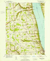 1950 Reading Center1964 Print · USGSThe western banks of Seneca Lake come alive in the early 1950s, showing a landscape defined by deep ravines and lakeside salt works. Researchers can trace historic family landmarks from Gingerbread Corners to Reading Center, alongside old rail stops like Barnes Sta.4 unique versions available
 - 1953 Map of Wayne, 1954 Print
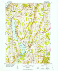 1953 Wayne1954 Print · USGSThe lakeside communities of Schuyler County are pictured in the early fifties, anchored by the waters of Waneta Lake and Lamoka Lake. Researchers can locate family landmarks such as Tyrone Union Cemetery, Waneta Lake Chapel, and the curious crossing at Gingerbread Corners.2 unique versions available
 - 1953 Map of Bradford, 1955 Print
 1953 Bradford1955 Print · USGSSchuyler and Steuben Counties are captured here in the early fifties, showing a rural landscape of valley farms and upland forests. Genealogists can trace family names through numerous burial sites like Old Sugar Hill Cem and Maltby Cem, or locate local landmarks like the Star District Sch.3 unique versions available
 - 1953 Map of Beaver Dams, 1955 Print
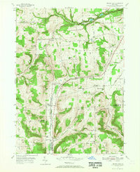 1953 Beaver Dams1955 Print · USGSSchuyler and Chemung counties are seen here in the early 1950s, centered on the railroad corridor and rural hamlets. Researchers can trace family history through local landmarks like Savory Cem, Catlin Center Sch, and the New York Central line at Beaver Dams.3 unique versions available
 - 1958 Map of Elmira
 1958 Elmira1958 Print · USGSThe New York Finger Lakes during the late fifties reveal a complex landscape of glacial geology and industrial growth. Researchers can trace historic transport corridors like the Erie Canal and Erie RR, or locate institutional landmarks like Cornell University.2 unique versions available
 - 1962 Map of Elmira, 1969 Print
 1962 Elmira1969 Print · USGSThe Finger Lakes region and Southern Tier are captured here during a period of industrial maturity and highway expansion. Researchers can trace the path of the Erie Canal, the footprint of the Seneca Army Depot, and legacy rail lines through Elmira and Ithaca.4 unique versions available
 - 1965 Map of Elmira
 1965 Elmira1965 Print · USGSThe Finger Lakes and Southern Tier regions are captured in the mid-sixties, showcasing a landscape of deep glacial valleys and heavy rail infrastructure. Trace old railroad corridors like the Pennsylvania RR or visit landmarks like Letchworth State Park and the Seneca Army Depot.
 - 1986 Map of Elmira
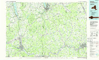 1986 Elmira1986 Print · USGSThe Southern Tier and Finger Lakes regions meet in this mid-eighties survey of the river valleys and high ridges. Genealogists can trace family names at Forest Lawn Memorial Park or locate homesteads near Breesport and Newark Valley.
 - 1986 Map of Hornell
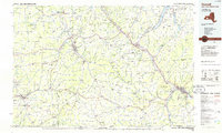 1986 Hornell1986 Print · USGSThe Southern Tier and Finger Lakes region thrive in the 1980s as rail and river corridors link Hornell to Corning. Trace local heritage through landmarks like Alfred University, the Veterans Adm Center, and the shores of Keuka Lake.2 unique versions available
 - 1992 Map of Elmira, 1993 Print
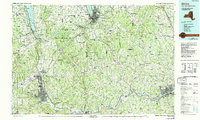 1992 Elmira1993 Print · USGSThe Finger Lakes and Southern Tier regions are captured in the early nineties as industrial hubs like Elmira and Endicott thrived alongside university life in Ithaca. Genealogists and researchers can trace the CONRAIL rail corridors, family hilltops such as Hornby Hill, and the extensive Newtown Battlefield Reservation.
 - 2010 Map of Reading Center, 2010 Print
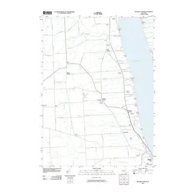 2010 Reading Center2010 Print · USGSThe western shores of Seneca Lake come into focus during this period of the twenty-first century. Genealogists and local historians can trace family plots and rural hamlets from Reading Center to Rock Stream Cemetery and Irelandville.
 - 2010 Map of Beaver Dams, 2010 Print
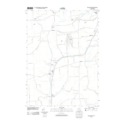 2010 Beaver Dams2010 Print · USGSThe rural heights and creek valleys of Schuyler County are captured here just over a decade ago. Genealogists and local historians can trace family locations near Beaver Dams, Townsend, and several local burial sites including Savory Cemetery and Cooley Cemetery.
 - 2010 Map of Wayne, 2010 Print
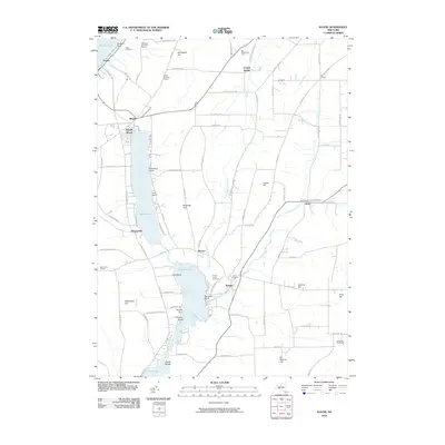 2010 Wayne2010 Print · USGSThe Finger Lakes region of New York is shown here in the early twenty-first century, featuring the deep waters of Keuka Lake and the agricultural heights above it. Researchers can find generational landmarks like Gobel Cemetery, the Sugar Hill Fire Tower, and local wineries.
 - 2010 Map of Bradford, 2010 Print
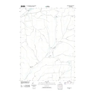 2010 Bradford2010 Print · USGSSteuben County’s rural highlands come into focus in this late-aughts survey of the areas around Bradford and Monterey. Genealogists can trace family footprints across nearly a dozen burial grounds, including Old Sugar Hill Cemetery, Belmont Cemetery, and Duvall Cemetery.
 - 2013 Map of Reading Center, 2013 Print
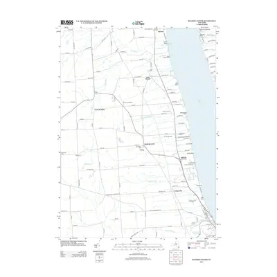 2013 Reading Center2013 Print · USGSThe western banks of Seneca Lake are shown here in the early twenty-first century, featuring a landscape of established vineyards and rural hamlets. Local historians can trace family plots at Old Reading Cem and Rock Stream Cem or locate the small airfields of Schuyler Airport and Re-Dun Field Airport.
 - 2013 Map of Beaver Dams, 2013 Print
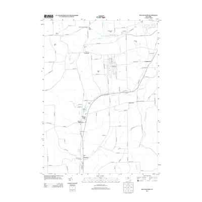 2013 Beaver Dams2013 Print · USGSSchuyler County's rural character is preserved in this recent survey of the ridges and hollows near Beaver Dams. Researchers can trace family history through sites like Townsend Cem and Cooley Cem or locate modern landmarks like Watkins Glen International.
 - 2013 Map of Bradford, 2013 Print
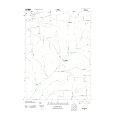 2013 Bradford2013 Print · USGSSteuben County rural life in the early 2010s is preserved here, showing the quiet valleys around the villages of Bradford and Monterey. Family history researchers can trace numerous burial sites like Belmont Cemetery, Maltby Cemetery, and Duvall Cemetery nestled among the hills.
 - 2013 Map of Wayne, 2013 Print
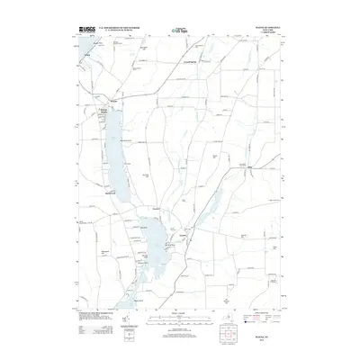 2013 Wayne2013 Print · USGSThe Finger Lakes region near the turn of the twenty-first century reveals a landscape of hilltop vineyards and lakeside settlements. Genealogists and local historians can trace the family plots at McDowell Cem or locate landmarks like Sugar Hill Fire Tower and Camp Gorton.
 - 2016 Map of Reading Center, 2016 Print
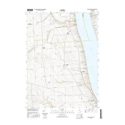 2016 Reading Center2016 Print · USGSThe western slopes of Seneca Lake are shown in detail during the mid-2010s, revealing a landscape of upland farms and lakeside points. Genealogists can locate family sites near Reading Center and Rock Stream, or trace burials at Pleasant View Cem.
 - 2016 Map of Wayne, 2016 Print
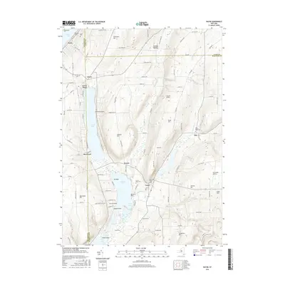 2016 Wayne2016 Print · USGSThe Finger Lakes region comes into focus during this mid-2010s survey of the ridge lands between the major glacial basins. Researchers can trace rural cemeteries and local landmarks like Waneta Lake, Altay Baptist Church, and the N Country National Scenic Trail.
Showing maps 1-25 of 35
Top cities near Orange
- Elmira historical maps
- Horseheads historical maps
- Bath historical maps
- Corning historical maps
- Erwin historical maps
- Big Flats historical maps
See more
Top neighborhoods of Orange
Frequently asked questions
- What are the different types of historical maps available for Orange?
- What is the oldest map of Orange?
- Where can I purchase historical maps of Orange for my home or office?
- Where can I download high-res historical maps of Orange?
- Are there historical topographic maps available for Orange?
- Is there historical aerial imagery available for Orange?
- Where are historical maps of Orange sourced from?