Old Maps of Fayette, New York for Metal Detecting
Plan your next treasure hunt with 51 historic maps of Fayette. Find old homesites, ghost towns, trails, and gathering spots that may be lost to time — perfect for identifying promising metal detecting locations.
- Locate forgotten sites: Uncover places like long-lost settlements, abandoned rail lines, or gathering spots.
- Plan better hunts: Use map overlays combined with LiDAR or satellite views to narrow in on historically rich areas.
- Made for detectorists: Thousands of hobbyists use these maps to discover relics, coins, and hidden history.
Use these historic maps to boost your research and find new opportunities beneath the surface of Fayette.
Fayette, NY maps
(51)- 1899 Map of Auburn
 1899 Auburn1899 Print · USGSThe Finger Lakes region thrived at the close of the nineteenth century as a hub of rail and water transport. Genealogists can trace family names at Coonley Corners or locate early industrial sites like Howard Mill and the State Dam.
 - 1902 Map of Geneva
 1902 Geneva1902 Print · USGSThe Finger Lakes region at the dawn of the twentieth century was a bustling corridor of canals and competing railroads. Trace the intricate Steamboat Route on Seneca Lake and locate old stations like Billsboro Sta. and Reeder.7 unique versions available
 - 1902 Map of Auburn
 1902 Auburn1902 Print · USGSThe Finger Lakes region thrived at the turn of the century as a hub of rail lines and canal traffic. Genealogists and historians can trace old homesteads and landings from Union Springs to Throopsville, including the complex rail junctions at Cayuga Junction and Aurelius Sta.9 unique versions available
 - 1943 Map of Geneva North
 1943 Geneva North1943 Print · USGSThe rural landscape north of Geneva is captured here in the early 1940s, showing a network of crossroads settlements and small-scale farms. Researchers can trace ancestral locations at Dobbins Corner, identify several local burying grounds like Quaker Cem, and locate numerous district schools such as School No 5.
 - 1943 Map of Geneva South
 1943 Geneva South1943 Print · USGSGeneva and the shores of Seneca Lake are captured here during the early 1940s, highlighting the region's academic and maritime identity. Researchers can trace the footprints of Hobart College, find local family names along Snell Road, or locate rail stops like Billsboro Sta.
 - 1943 Map of Cayuga
 1943 Cayuga1943 Print · USGSThe northern reaches of Cayuga Lake and the Montezuma wetlands are captured here during the early 1940s. Genealogists can locate family-named landmarks like Farnam Cem and Polk Corners, alongside the tracks of the New York Central Railroad.
 - 1943 Map of Romulus
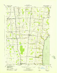 1943 Romulus1943 Print · USGSSeneca County's lakefront and agricultural heartland are captured during the Second World War as military and civilian life intersected. Researchers can trace family-named crossroads like Clemsons Corners, visit numerous district schools, and locate historic burials at Oak Hill Cem or Greenlawn Cem.
 - 1943 Map of Union Springs
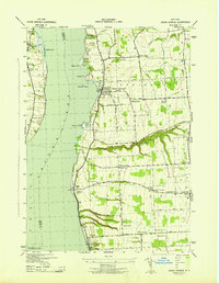 1943 Union Springs1943 Print · USGSThe eastern shores of Cayuga Lake come to life in the 1940s as the rail-and-water economy supports bustling lakeside villages. Genealogists can locate family landmarks from Red Jacket Cem to Sherwood, alongside numerous rural schools and the Lehigh Valley line.
 - 1943 Map of Seneca Falls, 1954 Print
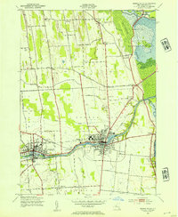 1943 Seneca Falls1954 Print · USGSSeneca Falls and Waterloo thrive at the crossroads of the New York canal and rail systems during the 1940s. Genealogists and historians can trace local school districts and family landmarks like Fox Cem, the Fairgrounds, and Dutch Cem.2 unique versions available
 - 1950 Map of Elmira
 1950 Elmira1950 Print · USGSThe Finger Lakes region thrived in the late 1940s as a hub of industry and transport. Trace family roots and vanished landmarks near Seneca Lake or explore the rail lines of the Erie RR and the sprawling Seneca Ordnance Depot.2 unique versions available
 - 1953 Map of Seneca Falls, 1955 Print
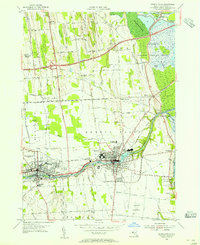 1953 Seneca Falls1955 Print · USGSMid-century Seneca Falls and Waterloo are shown here at a transition point between their canal-era industrial roots and the rise of the automobile age. Genealogists can trace family plots and early landmarks like Mynderse Academy, Rest Vale Cemetery, and the Skol-Yase area.4 unique versions available
 - 1953 Map of Romulus, 1955 Print
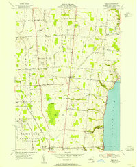 1953 Romulus1955 Print · USGSThe western shores of Cayuga Lake and the Seneca Ordnance Depot define this early 1950s landscape. Genealogists and local historians can locate several family cemeteries and small hamlets like Kuneytown, Mc Duffie Town, and Yost Corners.3 unique versions available
 - 1953 Map of Geneva South, 1955 Print
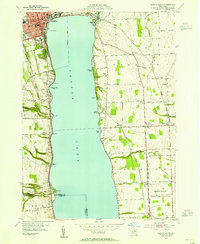 1953 Geneva South1955 Print · USGSSeneca Lake and its surrounding Finger Lakes communities are shown here in the early fifties, caught between institutional growth and military expansion. Researchers can trace local lineage through Bachman Cem or map the boundaries of the Seneca Ordnance Depot and the Colleges of the Seneca.5 unique versions available
 - 1953 Map of Geneva North, 1955 Print
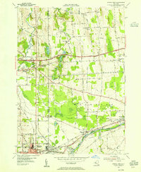 1953 Geneva North1955 Print · USGSThe northern reaches of the Finger Lakes region are captured in the early fifties, showing the transition from traditional rail-and-canal transport to the interstate era. Researchers can trace ancestral farmsteads near Dublin and Stone Church Corner or locate vanished sites like the West Junius Station.4 unique versions available
 - 1954 Map of Cayuga, 1956 Print
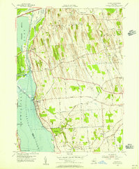 1954 Cayuga1956 Print · USGSMid-century Cayuga County is defined here by the vast wetlands of the Montezuma Marsh and the busy rail-and-canal corridor at the head of Cayuga Lake. Genealogists and local historians can trace family-named crossroads like Polk Corners, locate the Montezuma Cem, or find long-standing rural junctions like Half Acre.2 unique versions available
 - 1955 Map of Union Springs, 1957 Print
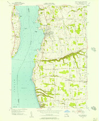 1955 Union Springs1957 Print · USGSThe eastern shores of Cayuga Lake are captured here in the mid-fifties, showing the rail-linked settlements of Union Springs and Aurora. Genealogists and local historians can trace family-named sites like Powers Corner, Red Jacket Cem, and Union Springs Academy.3 unique versions available
 - 1956 Map of Auburn, 1961 Print
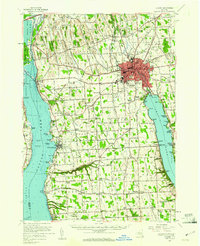 1956 Auburn1961 Print · USGSMid-century Cayuga County is defined by the industrial engine of Auburn and the busy shorelines of Cayuga and Owasco Lakes. Genealogists and historians can trace family ties through Old Quaker Cem, locate the old Half Acre Sta, and see the early footprint of the New York State Thruway.2 unique versions available
 - 1958 Map of Elmira
 1958 Elmira1958 Print · USGSThe New York Finger Lakes during the late fifties reveal a complex landscape of glacial geology and industrial growth. Researchers can trace historic transport corridors like the Erie Canal and Erie RR, or locate institutional landmarks like Cornell University.2 unique versions available
 - 1962 Map of Elmira, 1969 Print
 1962 Elmira1969 Print · USGSThe Finger Lakes region and Southern Tier are captured here during a period of industrial maturity and highway expansion. Researchers can trace the path of the Erie Canal, the footprint of the Seneca Army Depot, and legacy rail lines through Elmira and Ithaca.4 unique versions available
 - 1965 Map of Elmira
 1965 Elmira1965 Print · USGSThe Finger Lakes and Southern Tier regions are captured in the mid-sixties, showcasing a landscape of deep glacial valleys and heavy rail infrastructure. Trace old railroad corridors like the Pennsylvania RR or visit landmarks like Letchworth State Park and the Seneca Army Depot.
 - 1986 Map of Auburn
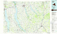 1986 Auburn1986 Print · USGSThe Finger Lakes region in the mid-eighties shows a landscape of deep glacial waters and significant military sites. Trace the layout of the Seneca Army Depot, find the campus of Wells College, and follow the historic Lehigh Valley RR lines.2 unique versions available
 - 2010 Map of Romulus, 2010 Print
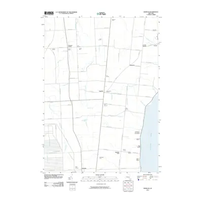 2010 Romulus2010 Print · USGSSeneca County's agricultural heartland and western shoreline are shown here in the early twenty-first century. Genealogists and local historians can locate several rural burial grounds like Red Jacket Cemetery and trace the influence of the Seneca Army Depot on the landscape.
 - 2010 Map of Geneva South, 2010 Print
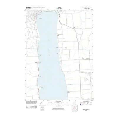 2010 Geneva South2010 Print · USGSThe southern shores of Seneca Lake and the outskirts of Geneva are captured here at the start of the 2010s. Researchers can locate family plots at Glenwood Cemetery or trace the shoreline from Glass Factory Bay past the Geneva Lighthouse to the docks at Barretts Marina.
 - 2010 Map of Geneva North, 2010 Print
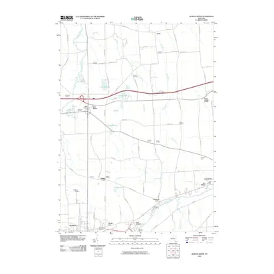 2010 Geneva North2010 Print · USGSUpper Seneca Lake and the river corridor come into focus during this modern era, showing the transition from historic farmsteads to contemporary lakeside life. Genealogists can locate nearly a dozen burial sites, including Bowdish Cemetery and Humphrey Cemetery, alongside landmarks like Parr Harbor.
 - 2010 Map of Union Springs, 2010 Print
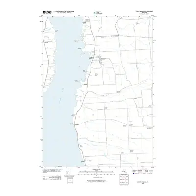 2010 Union Springs2010 Print · USGSThe eastern shore of Cayuga Lake is captured here in the early twenty-first century, showing a landscape defined by historic shoreline villages and rural crossroads. Genealogists can trace family footprints across Old Quaker Cemetery, Saint Michaels Roman Catholic Cemetery, and the historic settlement of Union Springs.
Showing maps 1-25 of 51
Top cities near Fayette
- Arcadia historical maps
- Geneva historical maps
- Seneca Falls historical maps
- Newark historical maps
- Waterloo historical maps
- Seneca Falls historical maps
See more
Top neighborhoods of Fayette
- Rose Hill historical maps
- Teall Beach historical maps
- Yale historical maps
- Canoga Springs historical maps
- Kuneytown historical maps
- Pastime Park historical maps
See more
Frequently asked questions
- What are the different types of historical maps available for Fayette?
- What is the oldest map of Fayette?
- Where can I purchase historical maps of Fayette for my home or office?
- Where can I download high-res historical maps of Fayette?
- Are there historical topographic maps available for Fayette?
- Is there historical aerial imagery available for Fayette?
- Where are historical maps of Fayette sourced from?