Old Maps of Romulus, New York for Academic Research
Study the evolution of Romulus with 53 high-resolution historic maps. Whether you're teaching, researching, or modeling changes in land use, these maps provide essential visual documentation of urban, environmental, and geographic change.
- Analyze long-term change: Track patterns in development, transportation, and natural features.
- Ideal for environmental or urban studies: Support academic projects with primary historical map data.
- Use in the classroom or lab: Educators and researchers rely on these maps to bring historical context to life.
These maps are a powerful tool for teaching, research, and visualizing how Romulus has changed over the decades.
Romulus, NY maps
(53)- 1899 Map of Auburn
 1899 Auburn1899 Print · USGSThe Finger Lakes region thrived at the close of the nineteenth century as a hub of rail and water transport. Genealogists can trace family names at Coonley Corners or locate early industrial sites like Howard Mill and the State Dam.
 - 1902 Map of Geneva
 1902 Geneva1902 Print · USGSThe Finger Lakes region at the dawn of the twentieth century was a bustling corridor of canals and competing railroads. Trace the intricate Steamboat Route on Seneca Lake and locate old stations like Billsboro Sta. and Reeder.7 unique versions available
 - 1902 Map of Genoa
 1902 Genoa1902 Print · USGSThe Finger Lakes region thrived on water and rail transport at the turn of the century, centered on the transit hub of Cayuga Lake. Genealogists and historians can trace the early Steamboat Route and find historic sites like Wells College and Taughannic Falls.8 unique versions available
 - 1902 Map of Ovid
 1902 Ovid1902 Print · USGSThe Finger Lakes region at the turn of the century shows a landscape tied together by steamboats and competing rail lines. Genealogists and historians can trace the industrial footprints of Cascade Mills or follow the path of the Lehigh Valley R. R. through villages like Ovid and Lodi.9 unique versions available
 - 1902 Map of Auburn
 1902 Auburn1902 Print · USGSThe Finger Lakes region thrived at the turn of the century as a hub of rail lines and canal traffic. Genealogists and historians can trace old homesteads and landings from Union Springs to Throopsville, including the complex rail junctions at Cayuga Junction and Aurelius Sta.9 unique versions available
 - 1942 Map of Ovid
 1942 Ovid1942 Print · USGSSeneca County's transition into the early war years is visible here, centered on the village of OVID between the Finger Lakes. Researchers can trace the extensive LEHIGH VALLEY RAILROAD line and locate family sites like Willard State Hospital, School No 1, and Union Cem.3 unique versions available
 - 1942 Map of Sheldrake, 1960 Print
 1942 Sheldrake1960 Print · USGSThe shores of Cayuga Lake are captured here during the early 1940s, showcasing a rural landscape of crossroads hamlets and lakeside points. Genealogists can locate family landmarks like Parker Cem, Wells College, and the rail depot at King Ferry Sta.
 - 1943 Map of Dresden
 1943 Dresden1943 Print · USGSDuring the early years of the Second World War, the Seneca Lake shore underwent a massive transformation with the establishment of the Naval Training Station. Researchers can trace the layout of the station and Sampson (PO), or locate historic mills like Mays Mills and Cascade Mills.4 unique versions available
 - 1943 Map of Geneva South
 1943 Geneva South1943 Print · USGSGeneva and the shores of Seneca Lake are captured here during the early 1940s, highlighting the region's academic and maritime identity. Researchers can trace the footprints of Hobart College, find local family names along Snell Road, or locate rail stops like Billsboro Sta.
 - 1943 Map of Romulus
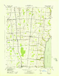 1943 Romulus1943 Print · USGSSeneca County's lakefront and agricultural heartland are captured during the Second World War as military and civilian life intersected. Researchers can trace family-named crossroads like Clemsons Corners, visit numerous district schools, and locate historic burials at Oak Hill Cem or Greenlawn Cem.
 - 1943 Map of Sheldrake
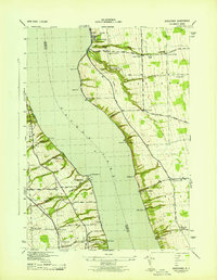 1943 Sheldrake1943 Print · USGSCayuga Lake's eastern and western shores are captured here in the early 1940s, showing a landscape of deep gullies and lakeside rail stations. Genealogists can trace family names at Quaker Cem or locate former hubs like Kings Ferry Station and Wells College.
 - 1943 Map of Union Springs
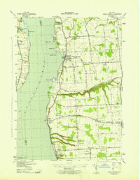 1943 Union Springs1943 Print · USGSThe eastern shores of Cayuga Lake come to life in the 1940s as the rail-and-water economy supports bustling lakeside villages. Genealogists can locate family landmarks from Red Jacket Cem to Sherwood, alongside numerous rural schools and the Lehigh Valley line.
 - 1950 Map of Elmira
 1950 Elmira1950 Print · USGSThe Finger Lakes region thrived in the late 1940s as a hub of industry and transport. Trace family roots and vanished landmarks near Seneca Lake or explore the rail lines of the Erie RR and the sprawling Seneca Ordnance Depot.2 unique versions available
 - 1953 Map of Romulus, 1955 Print
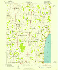 1953 Romulus1955 Print · USGSThe western shores of Cayuga Lake and the Seneca Ordnance Depot define this early 1950s landscape. Genealogists and local historians can locate several family cemeteries and small hamlets like Kuneytown, Mc Duffie Town, and Yost Corners.3 unique versions available
 - 1953 Map of Geneva South, 1955 Print
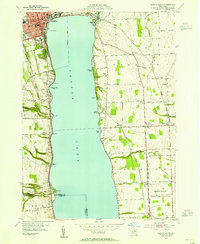 1953 Geneva South1955 Print · USGSSeneca Lake and its surrounding Finger Lakes communities are shown here in the early fifties, caught between institutional growth and military expansion. Researchers can trace local lineage through Bachman Cem or map the boundaries of the Seneca Ordnance Depot and the Colleges of the Seneca.5 unique versions available
 - 1955 Map of Union Springs, 1957 Print
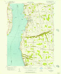 1955 Union Springs1957 Print · USGSThe eastern shores of Cayuga Lake are captured here in the mid-fifties, showing the rail-linked settlements of Union Springs and Aurora. Genealogists and local historians can trace family-named sites like Powers Corner, Red Jacket Cem, and Union Springs Academy.3 unique versions available
 - 1956 Map of Auburn, 1961 Print
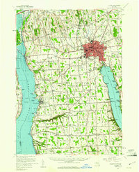 1956 Auburn1961 Print · USGSMid-century Cayuga County is defined by the industrial engine of Auburn and the busy shorelines of Cayuga and Owasco Lakes. Genealogists and historians can trace family ties through Old Quaker Cem, locate the old Half Acre Sta, and see the early footprint of the New York State Thruway.2 unique versions available
 - 1958 Map of Elmira
 1958 Elmira1958 Print · USGSThe New York Finger Lakes during the late fifties reveal a complex landscape of glacial geology and industrial growth. Researchers can trace historic transport corridors like the Erie Canal and Erie RR, or locate institutional landmarks like Cornell University.2 unique versions available
 - 1962 Map of Elmira, 1969 Print
 1962 Elmira1969 Print · USGSThe Finger Lakes region and Southern Tier are captured here during a period of industrial maturity and highway expansion. Researchers can trace the path of the Erie Canal, the footprint of the Seneca Army Depot, and legacy rail lines through Elmira and Ithaca.4 unique versions available
 - 1965 Map of Elmira
 1965 Elmira1965 Print · USGSThe Finger Lakes and Southern Tier regions are captured in the mid-sixties, showcasing a landscape of deep glacial valleys and heavy rail infrastructure. Trace old railroad corridors like the Pennsylvania RR or visit landmarks like Letchworth State Park and the Seneca Army Depot.
 - 1970 Map of Ovid, 1974 Print
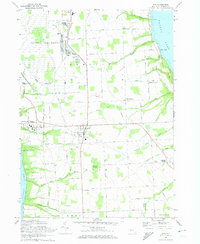 1970 Ovid1974 Print · USGSSettled between the shores of the Finger Lakes in the early 1970s, this area showcases the massive footprint of the Seneca Army Depot. Researchers can trace the Lehigh Valley Railroad and locate burial sites like Ovid Center Cem.2 unique versions available
 - 1971 Map of Sheldrake, 1974 Print
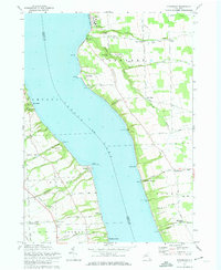 1971 Sheldrake1974 Print · USGSCayuga Lake's shoreline in the early 1970s reveals a landscape of historic college grounds and deep-cut gullies. Trace the Lehigh Valley rail line or locate family landmarks like Prospect Corners, Jump Corners, and Wells College.2 unique versions available
 - 1986 Map of Auburn
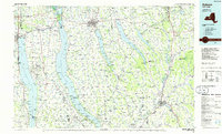 1986 Auburn1986 Print · USGSThe Finger Lakes region in the mid-eighties shows a landscape of deep glacial waters and significant military sites. Trace the layout of the Seneca Army Depot, find the campus of Wells College, and follow the historic Lehigh Valley RR lines.2 unique versions available
 - 2010 Map of Ovid, 2010 Print
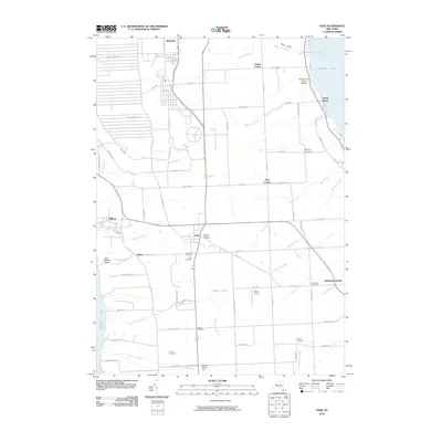 2010 Ovid2010 Print · USGSSeneca County's central plateau is captured here between the shores of two Finger Lakes in the early twenty-first century. Genealogists and local historians can trace family sites at Old Ovid Village Cemetery or McNeal Cemetery, and locate the expansive Seneca Army Depot.
 - 2010 Map of Romulus, 2010 Print
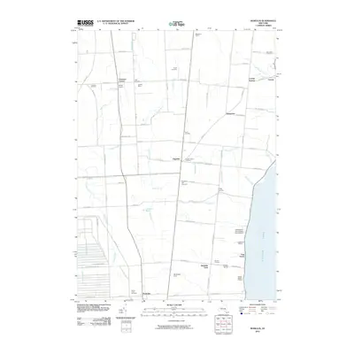 2010 Romulus2010 Print · USGSSeneca County's agricultural heartland and western shoreline are shown here in the early twenty-first century. Genealogists and local historians can locate several rural burial grounds like Red Jacket Cemetery and trace the influence of the Seneca Army Depot on the landscape.
Showing maps 1-25 of 53
Top cities near Romulus
- Auburn historical maps
- Geneva historical maps
- Lansing historical maps
- Seneca Falls historical maps
- Waterloo historical maps
- Seneca Falls historical maps
See more
Top neighborhoods of Romulus
- Hayt Corners historical maps
- Willard historical maps
- Elm Beach historical maps
- Marsh Corner historical maps
- Poplar Beach historical maps
- Kendaia historical maps
Frequently asked questions
- What are the different types of historical maps available for Romulus?
- What is the oldest map of Romulus?
- Where can I purchase historical maps of Romulus for my home or office?
- Where can I download high-res historical maps of Romulus?
- Are there historical topographic maps available for Romulus?
- Is there historical aerial imagery available for Romulus?
- Where are historical maps of Romulus sourced from?