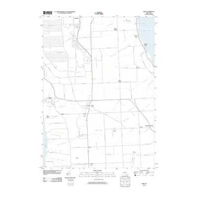
2010 Map of Ovid
USGS Topo · Published 2010About this map
Cayuga Lake and Seneca Lake frame this central Finger Lakes landscape, where the agricultural plateaus of Seneca County are marked by centuries of settlement. The village of Ovid sits at the heart of the quadrangle, surrounded by a high concentration of burial grounds including the Old Ovid Village Cemetery, Holy Cross Cemetery, and Union Cemetery. To the north, the massive footprint of the Seneca Army Depot dominates the western side of Romulus, a stark contrast to the small rural crossroads like Marsh Corner, Hayt Corners, and Coan Corners. Along the eastern shore, the transition from lakefront leisure at Poplar Beach to the wetlands of Bilberry Swamp illustrates the varied terrain. The map also records specialized land use, from the Buttonwood Grove Winery near Tannery Corners to the Camp Babcock Hovey scout camp on the western bluffs, reflecting the region's blend of defense, agriculture, and recreation.
Find a feature on this map
72 named features on this map. Tap any name to fly to it.
Don’t see what you’re looking for? This feature index may not catch every label — zoom into the map to look around manually.
Map Details
Editions of this 2010 Ovid Map
This is the sole edition of this map. No revisions or reprints were ever made.
Other maps of this area

1899 · Auburn
USGS Topo · 1:62,500

1902 · Geneva
USGS Topo · 1:62,500

1902 · Genoa
USGS Topo · 1:62,500

1902 · Ovid
USGS Topo · 1:62,500

1902 · Auburn
USGS Topo · 1:62,500

1942 · Ovid
USGS Topo · 1:31,680

1942 · Dundee
USGS Topo · 1:24,000

1942 · Lodi
USGS Topo · 1:24,000

1942 · Sheldrake
USGS Topo · 1:24,000

1942 · Trumansburg
USGS Topo · 1:24,000