Old Maps of Marsh Corner, Romulus for Academic Research
Study the evolution of Marsh Corner with 13 high-resolution historic maps. Whether you're teaching, researching, or modeling changes in land use, these maps provide essential visual documentation of urban, environmental, and geographic change.
- Analyze long-term change: Track patterns in development, transportation, and natural features.
- Ideal for environmental or urban studies: Support academic projects with primary historical map data.
- Use in the classroom or lab: Educators and researchers rely on these maps to bring historical context to life.
These maps are a powerful tool for teaching, research, and visualizing how Marsh Corner has changed over the decades.
Marsh Corner, Romulus maps
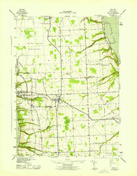
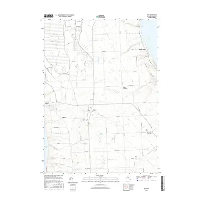
(13)- 1902 Map of Ovid
 1902 Ovid1902 Print · USGSThe Finger Lakes region at the turn of the century shows a landscape tied together by steamboats and competing rail lines. Genealogists and historians can trace the industrial footprints of Cascade Mills or follow the path of the Lehigh Valley R. R. through villages like Ovid and Lodi.9 unique versions available
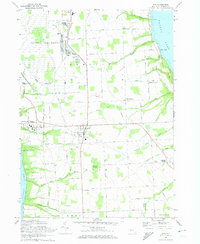
 - 1942 Map of Ovid
 1942 Ovid1942 Print · USGSSeneca County's transition into the early war years is visible here, centered on the village of OVID between the Finger Lakes. Researchers can trace the extensive LEHIGH VALLEY RAILROAD line and locate family sites like Willard State Hospital, School No 1, and Union Cem.3 unique versions available
 - 1950 Map of Elmira
 1950 Elmira1950 Print · USGSThe Finger Lakes region thrived in the late 1940s as a hub of industry and transport. Trace family roots and vanished landmarks near Seneca Lake or explore the rail lines of the Erie RR and the sprawling Seneca Ordnance Depot.2 unique versions available
 - 1958 Map of Elmira
 1958 Elmira1958 Print · USGSThe New York Finger Lakes during the late fifties reveal a complex landscape of glacial geology and industrial growth. Researchers can trace historic transport corridors like the Erie Canal and Erie RR, or locate institutional landmarks like Cornell University.2 unique versions available
 - 1962 Map of Elmira, 1969 Print
 1962 Elmira1969 Print · USGSThe Finger Lakes region and Southern Tier are captured here during a period of industrial maturity and highway expansion. Researchers can trace the path of the Erie Canal, the footprint of the Seneca Army Depot, and legacy rail lines through Elmira and Ithaca.4 unique versions available
 - 1965 Map of Elmira
 1965 Elmira1965 Print · USGSThe Finger Lakes and Southern Tier regions are captured in the mid-sixties, showcasing a landscape of deep glacial valleys and heavy rail infrastructure. Trace old railroad corridors like the Pennsylvania RR or visit landmarks like Letchworth State Park and the Seneca Army Depot.
 - 1970 Map of Ovid, 1974 Print
 1970 Ovid1974 Print · USGSSettled between the shores of the Finger Lakes in the early 1970s, this area showcases the massive footprint of the Seneca Army Depot. Researchers can trace the Lehigh Valley Railroad and locate burial sites like Ovid Center Cem.2 unique versions available
 - 1986 Map of Auburn
 1986 Auburn1986 Print · USGSThe Finger Lakes region in the mid-eighties shows a landscape of deep glacial waters and significant military sites. Trace the layout of the Seneca Army Depot, find the campus of Wells College, and follow the historic Lehigh Valley RR lines.2 unique versions available
 - 2010 Map of Ovid, 2010 Print
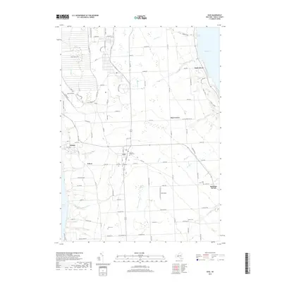
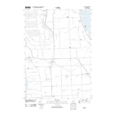 2010 Ovid2010 Print · USGSCovers Marsh Corner, including Romulus, Ovid, and other nearby areas
 - 2013 Map of Ovid, 2013 Print
 2013 Ovid2013 Print · USGSCovers Marsh Corner, including Romulus, Ovid, and other nearby areas
 - 2016 Map of Ovid, 2016 Print
 2016 Ovid2016 Print · USGSCovers Marsh Corner, including Romulus, Ovid, and other nearby areas
 - 2019 Map of Ovid, 2019 Print
 2019 Ovid2019 Print · USGSCovers Marsh Corner, including Romulus, Ovid, and other nearby areas
 - 2023 Map of Ovid, 2023 Print
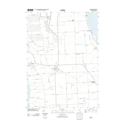
 2023 Ovid2023 Print · USGSCentral New York's lake-bound peninsula is shown here in the 2020s, anchored by the village of Ovid. Trace family histories at the Old Ovid Village Cem or locate the sprawling Seneca Army Depot and Sheldrake Springs lakefront.
End of results
Showing maps 1-13 of 13
Top cities near Marsh Corner
- Auburn historical maps
- Geneva historical maps
- Lansing historical maps
- Seneca Falls historical maps
- Waterloo historical maps
- Seneca Falls historical maps
See more
Frequently asked questions
- What are the different types of historical maps available for Marsh Corner?
- What is the oldest map of Marsh Corner?
- Where can I purchase historical maps of Marsh Corner for my home or office?
- Where can I download high-res historical maps of Marsh Corner?
- Are there historical topographic maps available for Marsh Corner?
- Is there historical aerial imagery available for Marsh Corner?
- Where are historical maps of Marsh Corner sourced from?