Old Maps of Seneca Falls, New York for Genealogy
Trace your family roots with 23 historic maps of Seneca Falls. These high-res maps reveal old neighborhoods, homesites, landmarks, and streets — helping you uncover where your ancestors lived and how the area evolved over time.
- Explore historic neighborhoods: Identify where your relatives may have lived in the 1800s or 1900s.
- Compare maps over time: Trace the changes in streets, buildings, and landmarks for multi-generational research.
- Perfect for genealogy & ancestry research: Used by family historians and researchers to map out lineage and migration.
These maps are an incredible resource for exploring your personal connection to Seneca Falls's past.
Seneca Falls, NY maps
(23)- 1899 Map of Auburn
 1899 Auburn1899 Print · USGSThe Finger Lakes region thrived at the close of the nineteenth century as a hub of rail and water transport. Genealogists can trace family names at Coonley Corners or locate early industrial sites like Howard Mill and the State Dam.
 - 1902 Map of Geneva
 1902 Geneva1902 Print · USGSThe Finger Lakes region at the dawn of the twentieth century was a bustling corridor of canals and competing railroads. Trace the intricate Steamboat Route on Seneca Lake and locate old stations like Billsboro Sta. and Reeder.7 unique versions available
 - 1902 Map of Auburn
 1902 Auburn1902 Print · USGSThe Finger Lakes region thrived at the turn of the century as a hub of rail lines and canal traffic. Genealogists and historians can trace old homesteads and landings from Union Springs to Throopsville, including the complex rail junctions at Cayuga Junction and Aurelius Sta.9 unique versions available
 - 1943 Map of Cayuga
 1943 Cayuga1943 Print · USGSThe northern reaches of Cayuga Lake and the Montezuma wetlands are captured here during the early 1940s. Genealogists can locate family-named landmarks like Farnam Cem and Polk Corners, alongside the tracks of the New York Central Railroad.
 - 1943 Map of Seneca Falls, 1954 Print
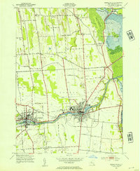 1943 Seneca Falls1954 Print · USGSSeneca Falls and Waterloo thrive at the crossroads of the New York canal and rail systems during the 1940s. Genealogists and historians can trace local school districts and family landmarks like Fox Cem, the Fairgrounds, and Dutch Cem.2 unique versions available
 - 1950 Map of Elmira
 1950 Elmira1950 Print · USGSThe Finger Lakes region thrived in the late 1940s as a hub of industry and transport. Trace family roots and vanished landmarks near Seneca Lake or explore the rail lines of the Erie RR and the sprawling Seneca Ordnance Depot.2 unique versions available
 - 1953 Map of Seneca Falls, 1955 Print
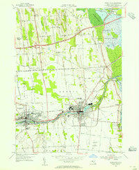 1953 Seneca Falls1955 Print · USGSMid-century Seneca Falls and Waterloo are shown here at a transition point between their canal-era industrial roots and the rise of the automobile age. Genealogists can trace family plots and early landmarks like Mynderse Academy, Rest Vale Cemetery, and the Skol-Yase area.4 unique versions available
 - 1954 Map of Cayuga, 1956 Print
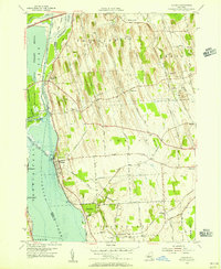 1954 Cayuga1956 Print · USGSMid-century Cayuga County is defined here by the vast wetlands of the Montezuma Marsh and the busy rail-and-canal corridor at the head of Cayuga Lake. Genealogists and local historians can trace family-named crossroads like Polk Corners, locate the Montezuma Cem, or find long-standing rural junctions like Half Acre.2 unique versions available
 - 1956 Map of Auburn, 1961 Print
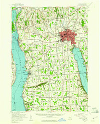 1956 Auburn1961 Print · USGSMid-century Cayuga County is defined by the industrial engine of Auburn and the busy shorelines of Cayuga and Owasco Lakes. Genealogists and historians can trace family ties through Old Quaker Cem, locate the old Half Acre Sta, and see the early footprint of the New York State Thruway.2 unique versions available
 - 1958 Map of Elmira
 1958 Elmira1958 Print · USGSThe New York Finger Lakes during the late fifties reveal a complex landscape of glacial geology and industrial growth. Researchers can trace historic transport corridors like the Erie Canal and Erie RR, or locate institutional landmarks like Cornell University.2 unique versions available
 - 1962 Map of Elmira, 1969 Print
 1962 Elmira1969 Print · USGSThe Finger Lakes region and Southern Tier are captured here during a period of industrial maturity and highway expansion. Researchers can trace the path of the Erie Canal, the footprint of the Seneca Army Depot, and legacy rail lines through Elmira and Ithaca.4 unique versions available
 - 1965 Map of Elmira
 1965 Elmira1965 Print · USGSThe Finger Lakes and Southern Tier regions are captured in the mid-sixties, showcasing a landscape of deep glacial valleys and heavy rail infrastructure. Trace old railroad corridors like the Pennsylvania RR or visit landmarks like Letchworth State Park and the Seneca Army Depot.
 - 1986 Map of Auburn
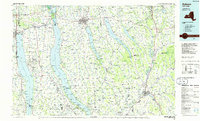 1986 Auburn1986 Print · USGSThe Finger Lakes region in the mid-eighties shows a landscape of deep glacial waters and significant military sites. Trace the layout of the Seneca Army Depot, find the campus of Wells College, and follow the historic Lehigh Valley RR lines.2 unique versions available
 - 2010 Map of Cayuga, 2010 Print
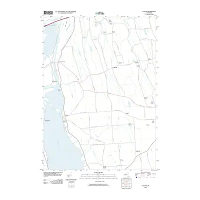 2010 Cayuga2010 Print · USGSThe northern shores of Cayuga Lake are shown here in the early twenty-first century, featuring the historic canal infrastructure and local agricultural lands. Researchers can locate numerous family burial sites like the Maycumber Family Cemetery or trace the water at Mud Lock.
 - 2010 Map of Seneca Falls, 2010 Print
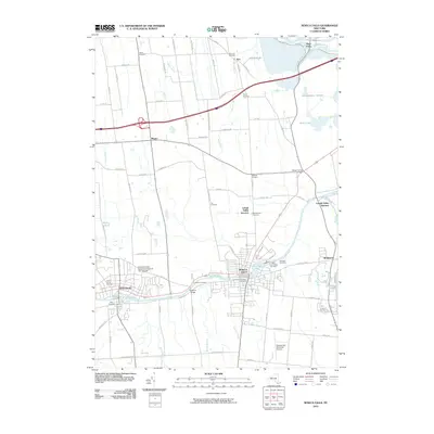 2010 Seneca Falls2010 Print · USGSSeneca Falls and Waterloo sit at the heart of the Finger Lakes region in the early twenty-first century, defined by their historic canal and river connections. Researchers can map family plots at Ovid Street Pioneers Cemetery and trace local landmarks like Kingdom Bridge and the Seneca County Agricultural Society Fair Grounds.
 - 2013 Map of Seneca Falls, 2013 Print
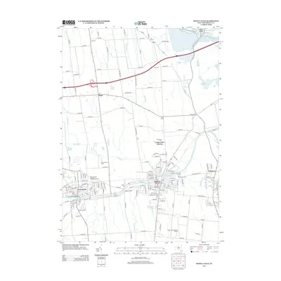 2013 Seneca Falls2013 Print · USGSSeneca Falls and Waterloo stand at the heart of this survey of the northern Finger Lakes in the early twenty-first century. Genealogists and historians can locate numerous burial sites like Ovid Street Pioneers Cem and landmarks such as the Kingdom Bridge.
 - 2013 Map of Cayuga, 2013 Print
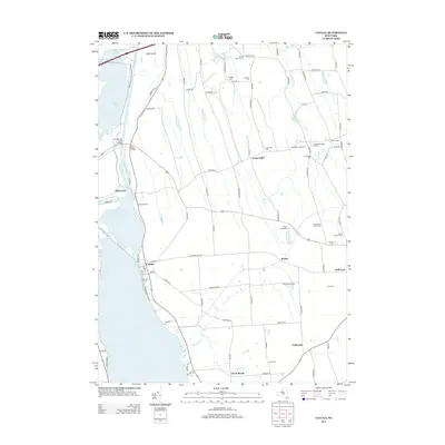 2013 Cayuga2013 Print · USGSThe eastern shore of Cayuga Lake and the Montezuma marshes come into focus in this early 21st-century survey. Genealogists can locate several smaller burial sites like Maycumber Family Cem and Lakeview Cem near the village of Cayuga.
 - 2016 Map of Cayuga, 2016 Print
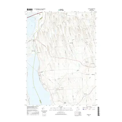 2016 Cayuga2016 Print · USGSThe village of Cayuga and its surrounding drumlin countryside are captured here in the mid-2010s, where the Montezuma wetlands meet Cayuga Lake. Researchers can locate numerous historic burial grounds like Cranebrook Cem and industrial landmarks such as Mud Lock.
 - 2016 Map of Seneca Falls, 2016 Print
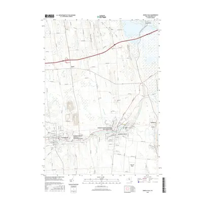 2016 Seneca Falls2016 Print · USGSSeneca Falls and Waterloo appear in the modern era as twin centers of heritage and transit along the historic Seneca River. Researchers can trace the boundaries of the Women's Rights National Historical Park or locate family plots in the Rest Vale Cem and Kingdom Cem.
 - 2019 Map of Cayuga, 2019 Print
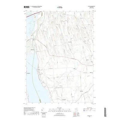 2019 Cayuga2019 Print · USGSThe northern tip of Cayuga Lake meets the Montezuma Marsh in this contemporary overview of the Finger Lakes region. Researchers can locate many small burial grounds such as Maycumber Family Cem and trace the waterway near Mud Lock.
 - 2019 Map of Seneca Falls, 2019 Print
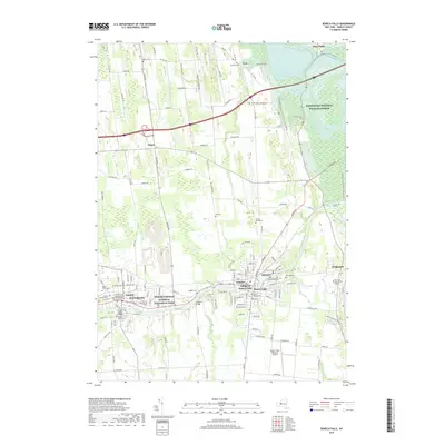 2019 Seneca Falls2019 Print · USGSSeneca County's historic corridor between Waterloo and the Village of Seneca Falls is captured here in the modern era. Researchers can trace the legacy of the Erie Canal, find local burial grounds like Samuel Bear Cem, or locate the Seneca County Courthouse.
 - 2023 Map of Cayuga, 2023 Print
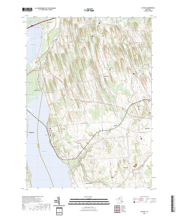 2023 Cayuga2023 Print · USGSThe eastern shore of Cayuga Lake and the Montezuma Marsh are captured here in the early twenty-first century. Genealogists can locate family landmarks like Maycumber Family Cem and Lakeview Cem or trace the early water routes near Mud Lock.
 - 2023 Map of Seneca Falls, 2023 Print
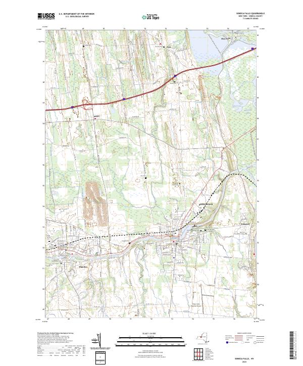 2023 Seneca Falls2023 Print · USGSSeneca Falls and Waterloo stand at the center of this Finger Lakes landscape during a period of modern preservation and rural continuity. Genealogists can trace family landmarks across Kingdom Cem, the Seneca County Courthouse, and the historic Erie Canal.
End of results
Showing maps 1-23 of 23
Top cities near Seneca Falls
- Auburn historical maps
- Geneva historical maps
- Waterloo historical maps
- Seneca Falls historical maps
- Phelps historical maps
- Lyons historical maps
See more
Top neighborhoods of Seneca Falls
Frequently asked questions
- What are the different types of historical maps available for Seneca Falls?
- What is the oldest map of Seneca Falls?
- Where can I purchase historical maps of Seneca Falls for my home or office?
- Where can I download high-res historical maps of Seneca Falls?
- Are there historical topographic maps available for Seneca Falls?
- Is there historical aerial imagery available for Seneca Falls?
- Where are historical maps of Seneca Falls sourced from?