2000s (21st Century) Maps of Dansville, New York
Explore 20 historic maps of Dansville from the 2000s (21st Century). These maps offer a rare glimpse into what life looked like during the 2000s — showing old roads, neighborhoods, homes, and landmarks that have changed or disappeared over time.
Whether you're researching your family's past, planning a metal detecting trip, or studying how Dansville's landscape evolved across the 2000s, these high-resolution maps are a powerful tool for exploring the history of this region.
- Focus on a specific era: All maps on this page are from the 2000s, giving you a focused view of this time period.
- See what’s changed: Compare century-old streets, trails, and buildings to today's modern landscape using overlays and satellite layers.
- Research with precision: Use these maps for genealogy, historical research, land use analysis, or educational projects.
- View, download, or print: Maps are fully viewable online in high resolution, and can be downloaded or printed for your own records.
Start exploring Dansville's history through authentic maps from the 2000s. This is your window into the past.
Dansville, NY maps
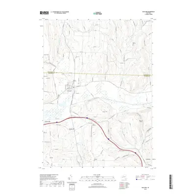
(20)- 2010 Map of Dansville, 2010 Print
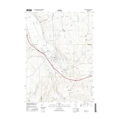
 2010 Dansville2010 Print · USGSCovers Dansville, including North Dansville, Wayland, and other nearby areas
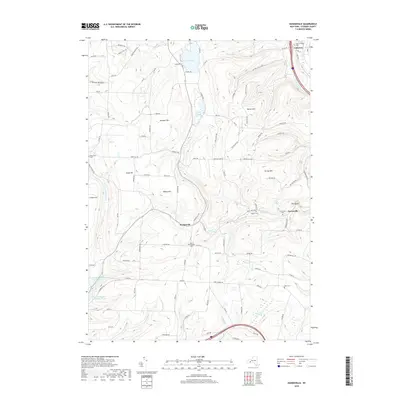
 - 2010 Map of Wayland, 2010 Print
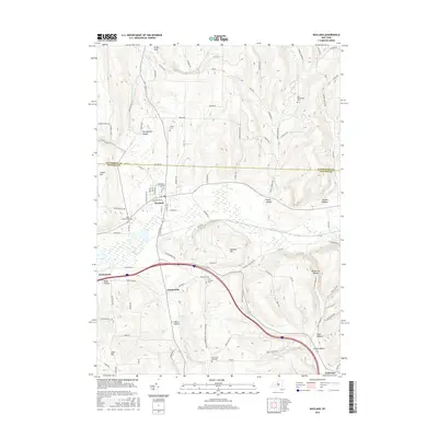
 2010 Wayland2010 Print · USGSCovers Dansville, including Wayland, Springwater, and other nearby areas
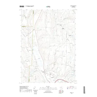
 - 2010 Map of Arkport, 2010 Print
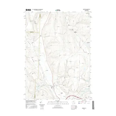
 2010 Arkport2010 Print · USGSCovers Dansville, including Hornell, Hornellsville, and other nearby areas
 - 2010 Map of Haskinville, 2010 Print
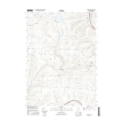
 2010 Haskinville2010 Print · USGSCovers Dansville, including Wayland, Cohocton, and other nearby areas
 - 2013 Map of Arkport, 2013 Print
 2013 Arkport2013 Print · USGSCovers Dansville, including Hornell, Hornellsville, and other nearby areas
 - 2013 Map of Dansville, 2013 Print
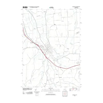
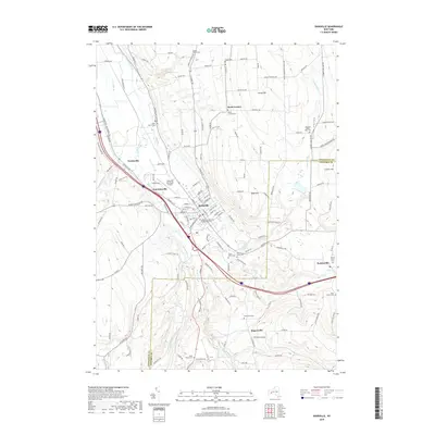
 2013 Dansville2013 Print · USGSCovers Dansville, including North Dansville, Wayland, and other nearby areas
 - 2013 Map of Haskinville, 2013 Print
 2013 Haskinville2013 Print · USGSCovers Dansville, including Wayland, Cohocton, and other nearby areas
 - 2013 Map of Wayland, 2013 Print
 2013 Wayland2013 Print · USGSCovers Dansville, including Wayland, Springwater, and other nearby areas
 - 2016 Map of Haskinville, 2016 Print
 2016 Haskinville2016 Print · USGSCovers Dansville, including Wayland, Cohocton, and other nearby areas
 - 2016 Map of Wayland, 2016 Print
 2016 Wayland2016 Print · USGSCovers Dansville, including Wayland, Springwater, and other nearby areas
 - 2016 Map of Dansville, 2016 Print
 2016 Dansville2016 Print · USGSCovers Dansville, including North Dansville, Wayland, and other nearby areas
 - 2016 Map of Arkport, 2016 Print
 2016 Arkport2016 Print · USGSCovers Dansville, including Hornell, Hornellsville, and other nearby areas
 - 2019 Map of Wayland, 2019 Print
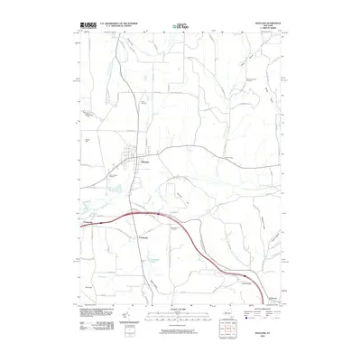
 2019 Wayland2019 Print · USGSCovers Dansville, including Wayland, Springwater, and other nearby areas
 - 2019 Map of Haskinville, 2019 Print
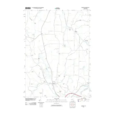
 2019 Haskinville2019 Print · USGSCovers Dansville, including Wayland, Cohocton, and other nearby areas
 - 2019 Map of Dansville, 2019 Print
 2019 Dansville2019 Print · USGSCovers Dansville, including North Dansville, Wayland, and other nearby areas
 - 2019 Map of Arkport, 2019 Print
 2019 Arkport2019 Print · USGSCovers Dansville, including Hornell, Hornellsville, and other nearby areas
 - 2023 Map of Arkport, 2023 Print
 2023 Arkport2023 Print · USGSSteuben County and the surrounding uplands are mapped here in the early twenty-first century, showing a landscape of deep hollows and high ridges. Genealogists can locate several historic burial sites, including Doty's Corners Cem, Burns Cem, and Oak Hill Cem.
 - 2023 Map of Dansville, 2023 Print
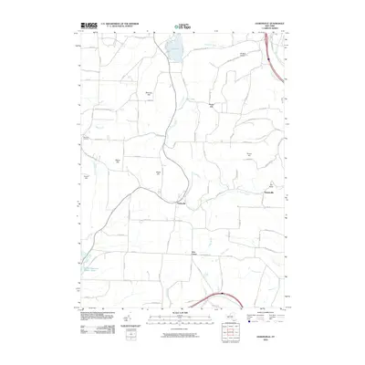
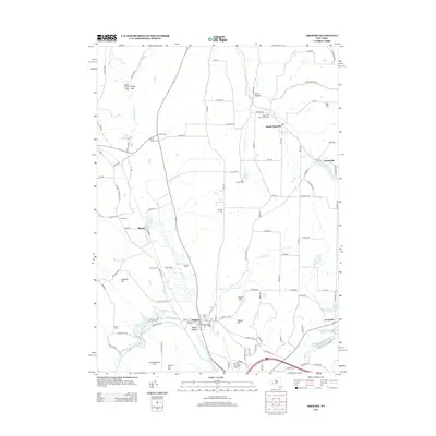
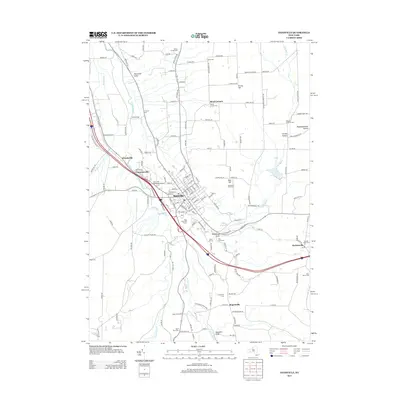
 2023 Dansville2023 Print · USGSLivingston County in the 2020s remains defined by its deep valley settlements and upland cemeteries. Trace local family history at Green Mount Cem and Sparta Center Cem, or locate landmarks like the Dansville Municipal Airport.
 - 2023 Map of Haskinville, 2023 Print
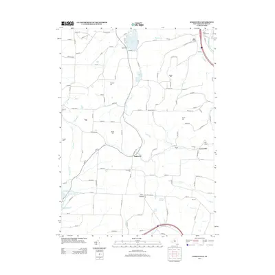
 2023 Haskinville2023 Print · USGSSteuben County's high ridges and creek valleys are documented here in the early twenty-first century, showing the rural character of central New York. Researchers can locate many small burial grounds like Lakeside Cem and family-named terrain like Brown Hill.
 - 2023 Map of Wayland, 2023 Print
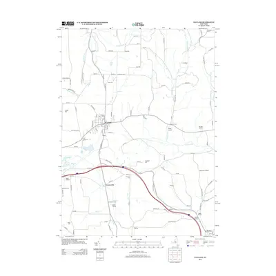
 2023 Wayland2023 Print · USGSThe village of Wayland and its surrounding hill country are captured here in modern detail, reflecting a landscape shaped by narrow valleys and agricultural plateaus. Genealogists and researchers can trace lineage through several local burial grounds, including Saint Peters Cem, Ashley Cem, and North Loon Lake Cem.
End of results
Showing maps 1-20 of 20
Top cities near Dansville
- Bath historical maps
- Hornell historical maps
- North Dansville historical maps
- Alfred historical maps
- Mount Morris historical maps
- Dansville historical maps
See more
Top neighborhoods of Dansville
Frequently asked questions
- What are the different types of historical maps available for Dansville?
- What is the oldest map of Dansville?
- Where can I purchase historical maps of Dansville for my home or office?
- Where can I download high-res historical maps of Dansville?
- Are there historical topographic maps available for Dansville?
- Is there historical aerial imagery available for Dansville?
- Where are historical maps of Dansville sourced from?