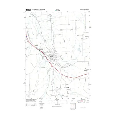
2013 Map of Dansville
USGS Topo · Published 2013About this map
Dansville sits at the confluence of several prominent valleys in this 2013 survey of the northern Livingston County landscape. The settlement pattern is defined by the broad floor of Canaseraga Cr, where the Dansville Municipal Airport and Brae Burn Golf Course occupy the flat terrain southwest of the village center. To the south, the dramatic incision of Stony Brook is preserved within Stony Brook State Park and the adjacent Stony Brook Glen, showcasing the region's characteristic gorge topography. The map detail reflects a deeply established rural community, from the outlying hamlets of Cumminsville and Woodsville to a network of high-elevation hollows like Pokamoonshine Hollow and Carney Hollow. Local history is well-documented through numerous family and community burial grounds, including Holy Cross Cem, Saint Peters Cem, and the remote Bluff Point Cem overlooking the gully systems.
Find a feature on this map
159 named features on this map. Tap any name to fly to it.
Don’t see what you’re looking for? This feature index may not catch every label — zoom into the map to look around manually.
Map Details
Editions of this 2013 Dansville Map
This is the sole edition of this map. No revisions or reprints were ever made.
Other maps of this area

1902 · Wayland
USGS Topo · 1:62,500

1904 · Wayland
USGS Topo · 1:62,500

1905 · Nunda
USGS Topo · 1:62,500

1915 · Hornell
USGS Topo · 1:62,500

1916 · Canaseraga
USGS Topo · 1:62,500

1918 · Hornell
USGS Topo · 1:62,500

1940 · Canaseraga
USGS Topo · 1:62,500

1942 · Springwater
USGS Topo · 1:31,680

1942 · Wayland
USGS Topo · 1:31,680

1942 · Dansville
USGS Topo · 1:31,680