
1942 Map of Dansville
USGS Topo · Published 1942About this map
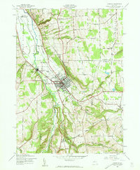
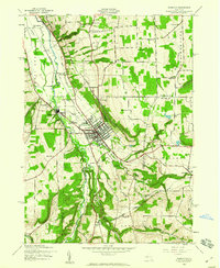
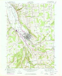
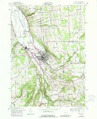
Dansville sits at the nexus of several vital transportation corridors during the early 1940s, where the Delaware Lackawanna and Western RR and the Erie RR converge near the broad valley of Canaseraga Creek. The landscape transitions from the developed industrial and residential center of Dansville to the steep, wooded gullies of the surrounding highlands, including the prominent Stony Brook State Park and the deep incision of Pokamoonshine Hollow. This wartime survey reveals a dense network of local institutions, from country schoolhouses like School No 9 to rural spiritual centers such as Sparta Center Ch and Pleasant Valley Ch. Genealogists will find particular value in the numerous burial grounds identified, including Green Mount Cem, South Sparta Cem, and the remote Dutch Cem north of Reed Corners.
Find a feature on this map
64 named features on this map. Tap any name to fly to it.
Don’t see what you’re looking for? This feature index may not catch every label — zoom into the map to look around manually.
Map Details
Editions of this 1942 Dansville Map
5 editions found
Other maps of this area

1902 · Wayland
USGS Topo · 1:62,500

1904 · Wayland
USGS Topo · 1:62,500

1905 · Nunda
USGS Topo · 1:62,500

1915 · Hornell
USGS Topo · 1:62,500

1916 · Canaseraga
USGS Topo · 1:62,500

1918 · Hornell
USGS Topo · 1:62,500

1940 · Canaseraga
USGS Topo · 1:62,500

1942 · Springwater
USGS Topo · 1:31,680

1942 · Wayland
USGS Topo · 1:31,680

1942 · Conesus
USGS Topo · 1:31,680