Old Maps of Sag Harbor, New York for Academic Research
Study the evolution of Sag Harbor with 30 high-resolution historic maps. Whether you're teaching, researching, or modeling changes in land use, these maps provide essential visual documentation of urban, environmental, and geographic change.
- Analyze long-term change: Track patterns in development, transportation, and natural features.
- Ideal for environmental or urban studies: Support academic projects with primary historical map data.
- Use in the classroom or lab: Educators and researchers rely on these maps to bring historical context to life.
These maps are a powerful tool for teaching, research, and visualizing how Sag Harbor has changed over the decades.
Sag Harbor, NY maps
(30)- 1903 Map of Sag Harbor, 1961 Print
 1903 Sag Harbor1961 Print · USGSThe South Fork of Long Island at the start of the century reveals a coastal landscape of rail-linked hamlets and active life-saving stations. Researchers can trace the early layout of the Shinnecock Indian Reservation and locate historic stops like Wainscott Sta along the Long Island Railroad.
 - 1904 Map of Sag Harbor
 1904 Sag Harbor1904 Print · USGSThe South Fork of Long Island at the dawn of the 1900s reveals a maritime landscape of life-saving stations and rail-connected villages. Genealogists and historians can trace the early layout of Sag Harbor, the Montauk Division railroad stops, and the Shinnecock Indian Reservation.6 unique versions available
 - 1904 Map of Shelter Island
 1904 Shelter Island1904 Print · USGSEastern Long Island thrived at the dawn of the twentieth century as a premier maritime and rail destination. Trace the coastal growth of Sag Harbor and Greenport or locate family landmarks along the Long Island RR and at Orient Point.6 unique versions available
 - 1946 Map of Sag Harbor
 1946 Sag Harbor1946 Print · USGSThe South Fork of Long Island at the end of the war years shows a landscape of coastal hamlets and large estates. Trace family names on rural lanes near Bridgehampton or locate early aviation landmarks like Hampton Airport and Easthampton Airport.
 - 1947 Map of Greenport
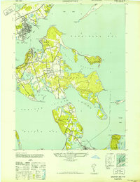 1947 Greenport1947 Print · USGSThe maritime communities of eastern Long Island are captured here in the late 1940s, highlighting the intricate coastal geography of the Peconic Bays. Historians can trace the streets of Greenport or locate specific waterfront landmarks near Sag Harbor and Shelter Island Heights.
 - 1947 Map of Hartford, 1955 Print
 1947 Hartford1955 Print · USGSSouthern New England and the Hudson Valley are shown in detail during the post-war expansion era. Genealogists and researchers can trace local landmarks from the State Capitol and Yale University to the Stratford Lighthouse and Woodlawn Cem.2 unique versions available
 - 1948 Map of Hartford
 1948 Hartford1948 Print · USGSSouthern New England is captured here in the late 1940s, showcasing a landscape of thriving industrial cities and developing parkways. Genealogists and historians can trace the rail networks of the New York New Haven and Hartford RR or locate coastal defense sites like Fort Terry and Camp Shanks.2 unique versions available
 - 1949 Map of New York, 1951 Print
 1949 New York1951 Print · USGSLong Island and its surrounding waters are documented here in the late 1940s, just as the postwar suburban boom began to transform the region. Genealogists and historians can trace the early layouts of Idlewild Airport, Mitchell Field, and the established routes of the Long Island RR.
 - 1954 Map of New York
 1954 New York1954 Print · USGSLong Island and the New York metropolitan area are shown during the height of post-war suburbanization. Genealogists and historians can trace the growth of Levittown, the infrastructure of the Long Island Rail Road, and landmarks like Mitchel Afb.2 unique versions available
 - 1956 Map of Sag Harbor, 1958 Print
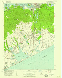 1956 Sag Harbor1958 Print · USGSThe South Fork of Long Island thrives as an agricultural and maritime hub in the mid-fifties, just before the era of intensive suburbanization. Researchers can trace the Long Island Railroad through Bridgehampton and locate local landmarks like Edgewood Cem and the Watermill Beach Club.2 unique versions available
 - 1956 Map of Greenport, 1958 Print
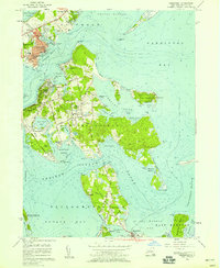 1956 Greenport1958 Print · USGSThe maritime villages of eastern Long Island are captured here in the mid-fifties, from the rail terminus at Greenport to the secluded coves of Shelter Island. Genealogists and historians can trace the grounds of Stirling Cem and Quaker Cem or locate the Long Beach Bar Lighthouse.3 unique versions available
 - 1957 Map of New York, 1975 Print
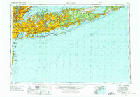 1957 New York1975 Print · USGSLong Island and the New York metropolitan area are shown in this mid-century survey during a period of massive suburban growth and industrial expansion. Researchers can trace the Long Island RR network and locate landmarks like Fort Tilden or the Brookhaven National Laboratory.
 - 1958 Map of New York
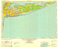 1958 New York1958 Print · USGSLong Island at the height of its postwar expansion reveals a landscape of rapidly growing suburbs and critical military installations. Genealogists and historians can trace the early footprints of Levittown, the terminals of Idlewild Airport, and the grounds of Brookhaven National Laboratory.3 unique versions available
 - 1960 Map of New York, 1979 Print
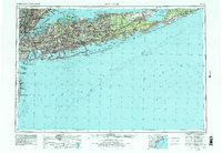 1960 New York1979 Print · USGSLong Island and the five boroughs are shown at a transformative moment mid-century as suburban expansion reshaped the landscape. Researchers can trace family roots through evolving neighborhoods from Rockville Centre to Sayville, or locate historic maritime landmarks like Eatons Neck and Montauk Point.2 unique versions available
 - 1961 Map of Hartford
 1961 Hartford1961 Print · USGSSouthern New England and the Hudson Valley are shown here in the mid-fifties, capturing a landscape of booming coastal cities and interior hill towns. Researchers can trace the legacy of the New York New Haven and Hartford rail corridor and find strategic sites like Camp Shanks and Fort Michie.
 - 1962 Map of Hartford, 1971 Print
 1962 Hartford1971 Print · USGSSouthern New England and the Hudson Valley are shown in the early sixties, as suburban growth reached into the foothills. Trace the path of the New York New Haven & Hartford RR and find landmarks like Camp Nathan Hale and Gillette Castle State Park.3 unique versions available
 - 1965 Map of Hartford
 1965 Hartford1965 Print · USGSSouthern New England and the Hudson Valley are shown here during the mid-sixties expansion of the Interstate era. Trace the path of the New York New Haven & Hartford RR or locate historic landmarks like West Point Military Reservation and the Merritt Parkway.2 unique versions available
 - 1969 Map of New York
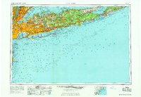 1969 New York1969 Print · USGSLong Island and the New York harbor area are shown here during a peak era of suburban expansion and Cold War defense. Trace the growth of Levittown, the infrastructure of Idlewild NY International Airport, and the reach of the Long Island RR.
 - 1983 Map of New Haven, 1985 Print
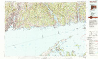 1983 New Haven1985 Print · USGSThe Connecticut shoreline and eastern Long Island are documented here in the early eighties, from the streets of New Haven to the piers of New London. Genealogists and historians can trace the geography of maritime heritage and academia at Yale University and the U.S. Coast Guard Academy.2 unique versions available
 - 1984 Map of Long Island East, 1985 Print
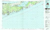 1984 Long Island East1985 Print · USGSEastern Long Island in the 1980s reveals a landscape of suburban growth and coastal preservation. Trace the mid-century development of Hampton Bays alongside Calverton National Cemetery and the Long Island Rail Road.3 unique versions available
 - 2010 Map of Sag Harbor, 2010 Print
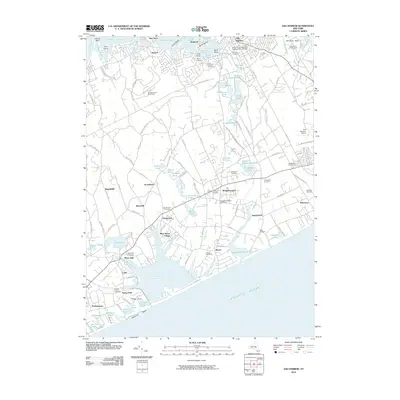 2010 Sag Harbor2010 Print · USGSThe South Fork of Long Island at the turn of the 21st century shows a complex network of coastal hamlets and historic estates. Trace local lineages and land use through numerous sites like the David African Methodist Episcopal Zion Cemetery, Water Mill, and the Long Island Rail Road.
 - 2010 Map of Greenport, 2010 Print
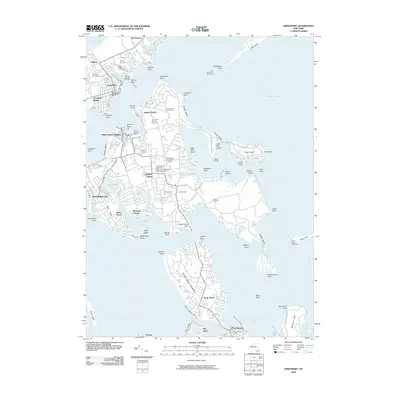 2010 Greenport2010 Print · USGSShelter Island and the surrounding Peconic Bay harbors are shown here in the early twenty-first century, just before major coastal changes. Researchers can locate numerous local burial grounds including Quaker Cemetery and Saint Agnes Cemetery, or trace maritime landmarks like the Long Beach Bar Lighthouse.
 - 2013 Map of Greenport, 2013 Print
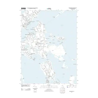 2013 Greenport2013 Print · USGSShelter Island and the maritime village of Greenport are shown here in the early twenty-first century, linked by the ferries of the North Fork. Researchers can locate numerous historic burial sites like Quaker Cemetery or trace the path of the Long Island RR to the docks.
 - 2013 Map of Sag Harbor, 2013 Print
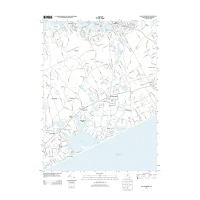 2013 Sag Harbor2013 Print · USGSThe South Fork of Long Island comes alive in this survey of Sag Harbor and its coastal hamlets. Genealogists and historians can trace deep family roots through numerous burial sites like Oakland Cemetery and landmarks like the Beebe Windmill.
 - 2016 Map of Greenport, 2016 Print
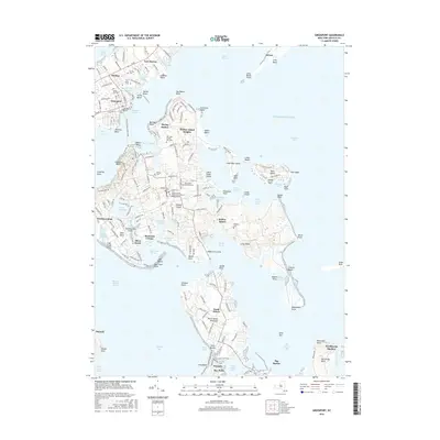 2016 Greenport2016 Print · USGSShelter Island and the surrounding Peconic Bay harbors are shown in meticulous detail during the mid-2010s. Local researchers can trace family plots at Stirling Cem or Quaker Cem and explore the maritime geography of Dering Harbor.
Showing maps 1-25 of 30
Top cities near Sag Harbor
- Southampton historical maps
- East Hampton historical maps
- Southold historical maps
- Hampton Bays historical maps
- Springs historical maps
- Southold historical maps
See more
Top neighborhoods of Sag Harbor
Frequently asked questions
- What are the different types of historical maps available for Sag Harbor?
- What is the oldest map of Sag Harbor?
- Where can I purchase historical maps of Sag Harbor for my home or office?
- Where can I download high-res historical maps of Sag Harbor?
- Are there historical topographic maps available for Sag Harbor?
- Is there historical aerial imagery available for Sag Harbor?
- Where are historical maps of Sag Harbor sourced from?