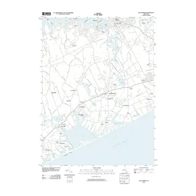
2010 Map of Sag Harbor
USGS Topo · Published 2010About this map
Sag Harbor and the surrounding Hamlets of eastern Long Island are documented here at the end of the first decade of the 21st century. The map illustrates a landscape where maritime heritage and modern recreational development coexist. Water bodies like Sag Harbor Cove and Otter Pond define the northern coast, while the southern shore is marked by the expansive Mecox Bay and Sagaponack Pond. Genealogists will find a high concentration of burial grounds, including the David African Methodist Episcopal Zion Cemetery and Oakland Cemetery. The transit network is anchored by the Long Island Rail Road and various historical paths such as Noyac Path and Ruggs Path. Inland, the map captures the transition of land use from agriculture to specialized leisure, noted by the presence of the Bridgehampton Race Circuit, several golf courses, and the East Hampton Airport. Large ponds such as Long Pond and Kellis Pond dot the interior, illustrating the unique glacial topography of the South Fork.
Find a feature on this map
137 named features on this map. Tap any name to fly to it.
Don’t see what you’re looking for? This feature index may not catch every label — zoom into the map to look around manually.
Map Details
Editions of this 2010 Sag Harbor Map
This is the sole edition of this map. No revisions or reprints were ever made.
Other maps of this area

1903 · Sag Harbor
USGS Topo · 1:62,500

1903 · Gardiners Island
USGS Topo · 1:62,500

1904 · Sag Harbor
USGS Topo · 1:62,500

1904 · Shelter Island
USGS Topo · 1:62,500

1904 · Easthampton
USGS Topo · 1:62,500

1904 · Gardiners Island
USGS Topo · 1:62,500

1921 · Gardiners Island
USGS Topo · 1:62,500

1921 · Easthampton
USGS Topo · 1:62,500

1944 · Gardiners Island West
USGS Topo · 1:24,000

1946 · Sag Harbor
USGS Topo · 1:24,000