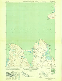
1944 Map of Gardiners Island West
USGS Topo · Published 1947About this map
Springs and the surrounding hamlets of Kingstown and Eastside anchor this wartime-era survey of the eastern Long Island coastline. The geography is defined by the deep indentation of Threemile Harbor and the expansive Gardiners Bay, where the southwestern tip of Gardiners Island is visible with features like Cherry Hill Pond and Bostwick Creek. This map captures a coastal landscape of wetlands and winding inlets before the mid-century surge in residential development.
Find a feature on this map
29 named features on this map. Tap any name to fly to it.
Don’t see what you’re looking for? This feature index may not catch every label — zoom into the map to look around manually.
Map Details
Editions of this 1944 Gardiners Island West Map
2 editions found

Other maps of this area

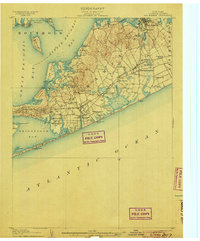
1903 · Sag Harbor
USGS Topo · 1:62,500

1903 · Gardiners Island
USGS Topo · 1:62,500
1904 · Sag Harbor
USGS Topo · 1:62,500

1904 · Shelter Island
USGS Topo · 1:62,500
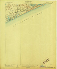
1904 · Easthampton
USGS Topo · 1:62,500

1904 · Gardiners Island
USGS Topo · 1:62,500

1921 · Gardiners Island
USGS Topo · 1:62,500

1921 · Easthampton
USGS Topo · 1:62,500

1943 · Gardiners Island East
USGS Topo · 1:24,000
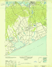
1946 · Sag Harbor
USGS Topo · 1:24,000
Featured Places
- East Hampton, NY
- Southold, NY
- Springs, East Hampton
- Northwest Harbor, East Hampton
- Amagansett, East Hampton