Old Maps of Spencer, New York for Academic Research
Study the evolution of Spencer with 44 high-resolution historic maps. Whether you're teaching, researching, or modeling changes in land use, these maps provide essential visual documentation of urban, environmental, and geographic change.
- Analyze long-term change: Track patterns in development, transportation, and natural features.
- Ideal for environmental or urban studies: Support academic projects with primary historical map data.
- Use in the classroom or lab: Educators and researchers rely on these maps to bring historical context to life.
These maps are a powerful tool for teaching, research, and visualizing how Spencer has changed over the decades.
Spencer, NY maps
(44)- 1893 Map of Ithaca, 1960 Print
 1893 Ithaca1960 Print · USGSThe Finger Lakes region at the end of the nineteenth century was a landscape of steep gorges and rail-connected hamlets. Genealogists and local historians can trace old property lines and rural crossroads from Ithaca to Trumbull Corner and the secluded Pony Hollow.
 - 1895 Map of Ithaca
 1895 Ithaca1895 Print · USGSThe Finger Lakes region at the end of the nineteenth century is defined by its dramatic lakefront topography and rural hamlets. Genealogists and historians can trace family locations across Ithaca, Newfield, and the high reaches of Connecticut Hill.13 unique versions available
 - 1900 Map of Dryden
 1900 Dryden1900 Print · USGSThe Finger Lakes region comes to life in the late nineteenth century as the rail networks of the Lehigh Valley RR and the CAYUGA DIVISION expand through the valleys. Genealogists can trace family roots through the hill settlements of Caroline Center, South Danby, and the early grounds of Cornell University.9 unique versions available
 - 1902 Map of Waverly
 1902 Waverly1902 Print · USGSThe Chemung River valley and the Pennsylvania borderlands come alive in this turn-of-the-century survey of Tioga and Chemung counties. Genealogists and rail historians can trace defunct stations and crossroads like Van Etten Junction, Owens Mills, and the village of Wellsburg.7 unique versions available
 - 1903 Map of Owego
 1903 Owego1903 Print · USGSTioga County at the turn of the century is defined by its busy river landings and a dense web of competing railroads. Genealogists and historians can trace old property sites near Deans Tannery, Halsey Valley, and the rural crossroads of Straits Corners.6 unique versions available
 - 1905 Map of Watkins Glen
 1905 Watkins Glen1905 Print · USGSThe Finger Lakes and Southern Tier regions are captured at the start of the century, showing a landscape defined by deep glens and heavy rail. Genealogists and historians can trace the paths of the Northern Central RR through Watkins or locate family sites near Burdett and Horseheads.4 unique versions available
 - 1906 Map of Catatonk
 1906 Catatonk1906 Print · USGSThe Southern Tier and Finger Lakes foothills are shown here at the peak of the rail era, before the expansion of modern highways. Genealogists can locate family lands near Slaterville Springs, trace the Lehigh Valley RR, or find early sites like White Church.
 - 1949 Map of Willseyville, 1958 Print
 1949 Willseyville1958 Print · USGSSouthern Tompkins County in the late 1940s shows a landscape of upland ridges and deep valley rail corridors. Genealogists and historians can trace family locations near Danby Rural Cem, early schoolhouses like Belle Sch, and the rail junction at Willseyville.2 unique versions available
 - 1950 Map of Elmira
 1950 Elmira1950 Print · USGSThe Finger Lakes region thrived in the late 1940s as a hub of industry and transport. Trace family roots and vanished landmarks near Seneca Lake or explore the rail lines of the Erie RR and the sprawling Seneca Ordnance Depot.2 unique versions available
 - 1950 Map of West Danby, 1952 Print
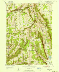 1950 West Danby1952 Print · USGSMid-century Tompkins County is mapped here as a network of hill-and-valley settlements and vital rail lines. Local researchers can trace family landmarks and community nodes like Woodlawn Cem, Kellogg Corners, and the southern waters of Spencer Lake.2 unique versions available
 - 1951 Map of Willseyville
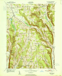 1951 Willseyville1951 Print · USGSThe rural borderlands of Tompkins and Tioga counties are captured here in the mid-century, where rail lines and narrow valleys dictated the local economy. Genealogists and historians can trace family-named sites like Danby Rural Cemetery, South Danby, and Crum Town.
 - 1954 Map of Van Etten, 1956 Print
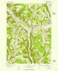 1954 Van Etten1956 Print · USGSChemung and Tioga Counties are seen here in the mid-1950s, centered on the vital rail junction at Van Etten. Genealogists and local historians can trace family-named sites like Rumsey Cem, Hicks, and landmarks along the Lehigh Valley line.
 - 1954 Map of Waverly, 1961 Print
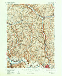 1954 Waverly1961 Print · USGSThe Southern Tier's river valleys and rail networks are caught at a mid-century peak in this survey of Tioga and Chemung counties. Genealogists can trace family names through landmarks like Austin Hill Cem, the Double Mill Sch, and the historical Newtown Battlefield State Park.2 unique versions available
 - 1956 Map of Spencer, 1958 Print
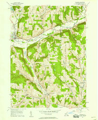 1956 Spencer1958 Print · USGSTioga County in the mid-fifties remains a landscape of high ridges and narrow creek valleys centered on the village of Spencer. Genealogists can trace rural homesteads near the Hamilton Sch and follow the old winding routes between Halsey Valley and Straits Corners Ch.
 - 1956 Map of Owego, 1960 Print
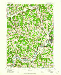 1956 Owego1960 Print · USGSTioga County in the mid-1950s is defined by its deep river valleys and the busy corridors of the Erie Railroad and Lehigh Valley Railroad. Genealogists and historians can trace the foundations of local life through rural landmarks like Hamilton Sch and the Sulphur Springs Chapel.
 - 1958 Map of Elmira
 1958 Elmira1958 Print · USGSThe New York Finger Lakes during the late fifties reveal a complex landscape of glacial geology and industrial growth. Researchers can trace historic transport corridors like the Erie Canal and Erie RR, or locate institutional landmarks like Cornell University.2 unique versions available
 - 1962 Map of Elmira, 1969 Print
 1962 Elmira1969 Print · USGSThe Finger Lakes region and Southern Tier are captured here during a period of industrial maturity and highway expansion. Researchers can trace the path of the Erie Canal, the footprint of the Seneca Army Depot, and legacy rail lines through Elmira and Ithaca.4 unique versions available
 - 1965 Map of Elmira
 1965 Elmira1965 Print · USGSThe Finger Lakes and Southern Tier regions are captured in the mid-sixties, showcasing a landscape of deep glacial valleys and heavy rail infrastructure. Trace old railroad corridors like the Pennsylvania RR or visit landmarks like Letchworth State Park and the Seneca Army Depot.
 - 1969 Map of West Danby, 1971 Print
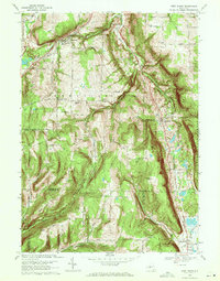 1969 West Danby1971 Print · USGSThe Finger Lakes region south of Ithaca is captured here in the late sixties, where the Lehigh Valley railroad and West Danby define the valley floor. Genealogists can trace family roots through the Sebring Cem, Chaffee Creek Cem, and schools in Newfield.2 unique versions available
 - 1969 Map of Van Etten, 1971 Print
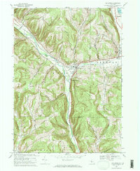 1969 Van Etten1971 Print · USGSThe Southern Tier highlands come into focus in the late 1960s, centered on the rail corridor between Chemung and Tioga counties. Genealogists and historians can trace the Lehigh Valley Railroad through Van Etten and locate small burial grounds like Mt Hope Cem or Canfield Cem.2 unique versions available
 - 1969 Map of Willseyville, 1971 Print
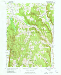 1969 Willseyville1971 Print · USGSThe hills of southern Tompkins County come into focus in the late sixties as the high ridges of the Danby State Forest tower over rural valleys. Genealogists can trace family footprints at the Danby Rural Cem and Lane Cem, or locate the old White Church and Caroline Depot.4 unique versions available
 - 1969 Map of Spencer, 1971 Print
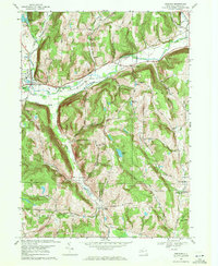 1969 Spencer1971 Print · USGSTioga County is captured here in the late sixties as a landscape of valley settlements and steep ridges. Researchers can locate family landmarks like Baptist Corners Cem, the village of Spencer, and the rural crossroads at Halsey Valley.3 unique versions available
 - 1986 Map of Elmira
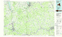 1986 Elmira1986 Print · USGSThe Southern Tier and Finger Lakes regions meet in this mid-eighties survey of the river valleys and high ridges. Genealogists can trace family names at Forest Lawn Memorial Park or locate homesteads near Breesport and Newark Valley.
 - 1992 Map of Elmira, 1993 Print
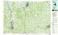 1992 Elmira1993 Print · USGSThe Finger Lakes and Southern Tier regions are captured in the early nineties as industrial hubs like Elmira and Endicott thrived alongside university life in Ithaca. Genealogists and researchers can trace the CONRAIL rail corridors, family hilltops such as Hornby Hill, and the extensive Newtown Battlefield Reservation.
 - 2010 Map of Van Etten, 2010 Print
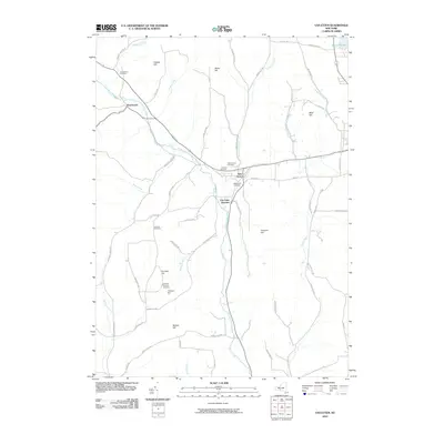 2010 Van Etten2010 Print · USGSThe southern Tier of New York is captured here in the early twenty-first century, centered on the village of Van Etten. Genealogists and local historians can trace family road names and several small burial grounds like Canfield Cemetery and Swartwood Cemetery.
Showing maps 1-25 of 44
Top cities near Spencer
- Ithaca historical maps
- Ithaca historical maps
- Owego historical maps
- Dryden historical maps
- Barton historical maps
- Sayre historical maps
See more
Top neighborhoods of Spencer
- Crum Town historical maps
- West Candor historical maps
- North Spencer historical maps
- Spencer historical maps
Frequently asked questions
- What are the different types of historical maps available for Spencer?
- What is the oldest map of Spencer?
- Where can I purchase historical maps of Spencer for my home or office?
- Where can I download high-res historical maps of Spencer?
- Are there historical topographic maps available for Spencer?
- Is there historical aerial imagery available for Spencer?
- Where are historical maps of Spencer sourced from?