2000s (21st Century) Maps of Jackson, New York
Explore 20 historic maps of Jackson from the 2000s (21st Century). These maps offer a rare glimpse into what life looked like during the 2000s — showing old roads, neighborhoods, homes, and landmarks that have changed or disappeared over time.
Whether you're researching your family's past, planning a metal detecting trip, or studying how Jackson's landscape evolved across the 2000s, these high-resolution maps are a powerful tool for exploring the history of this region.
- Focus on a specific era: All maps on this page are from the 2000s, giving you a focused view of this time period.
- See what’s changed: Compare century-old streets, trails, and buildings to today's modern landscape using overlays and satellite layers.
- Research with precision: Use these maps for genealogy, historical research, land use analysis, or educational projects.
- View, download, or print: Maps are fully viewable online in high resolution, and can be downloaded or printed for your own records.
Start exploring Jackson's history through authentic maps from the 2000s. This is your window into the past.
Jackson, NY maps
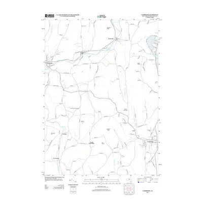
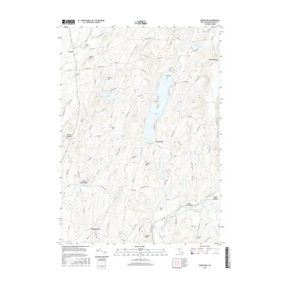
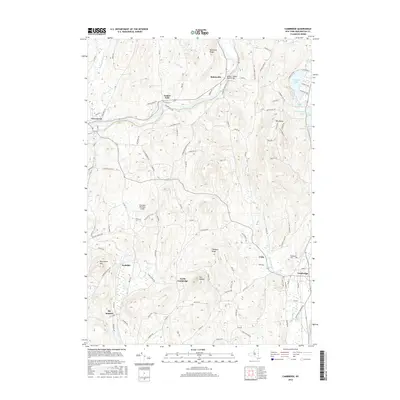
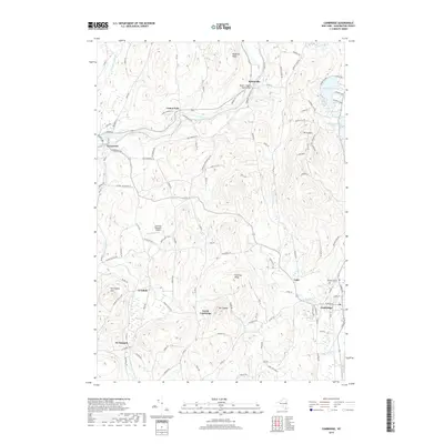
(20)- 2010 Map of Cambridge, 2010 Print
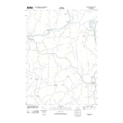 2010 Cambridge2010 Print · USGSCovers Jackson, including Greenwich, White Creek, and other nearby areas
 - 2010 Map of Cossayuna, 2010 Print
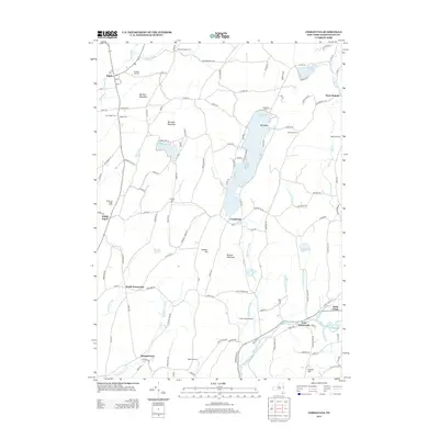
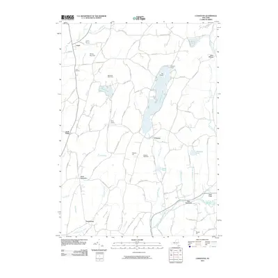 2010 Cossayuna2010 Print · USGSCovers Jackson, including Greenwich, Argyle, and other nearby areas
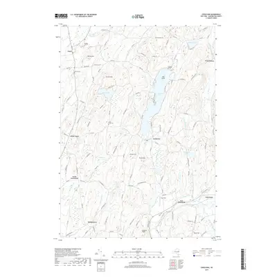
 - 2011 Map of Salem, 2011 Print
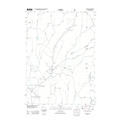
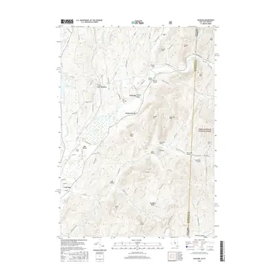
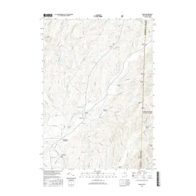
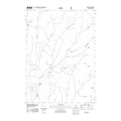 2011 Salem2011 Print · USGSCovers Jackson, including Salem, Hebron, and other nearby areas
 - 2011 Map of Shushan, 2011 Print
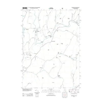
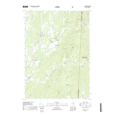
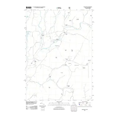 2011 Shushan2011 Print · USGSCovers Jackson, including Shaftsbury, White Creek, and other nearby areas
 - 2013 Map of Salem, 2013 Print
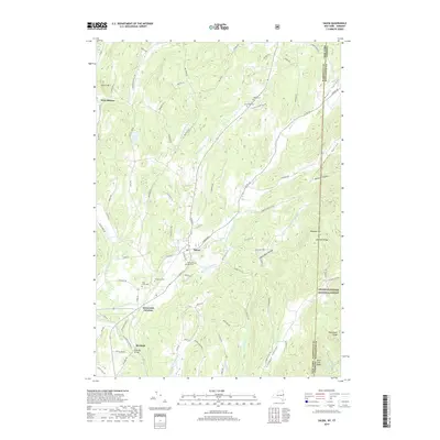
 2013 Salem2013 Print · USGSCovers Jackson, including Salem, Hebron, and other nearby areas
 - 2013 Map of Cambridge, 2013 Print
 2013 Cambridge2013 Print · USGSCovers Jackson, including Greenwich, White Creek, and other nearby areas
 - 2013 Map of Shushan, 2013 Print
 2013 Shushan2013 Print · USGSCovers Jackson, including Shaftsbury, White Creek, and other nearby areas
 - 2013 Map of Cossayuna, 2013 Print
 2013 Cossayuna2013 Print · USGSCovers Jackson, including Greenwich, Argyle, and other nearby areas
 - 2016 Map of Cossayuna, 2016 Print
 2016 Cossayuna2016 Print · USGSCovers Jackson, including Greenwich, Argyle, and other nearby areas
 - 2016 Map of Cambridge, 2016 Print
 2016 Cambridge2016 Print · USGSCovers Jackson, including Greenwich, White Creek, and other nearby areas
 - 2016 Map of Shushan, 2016 Print
 2016 Shushan2016 Print · USGSCovers Jackson, including Shaftsbury, White Creek, and other nearby areas
 - 2016 Map of Salem, 2016 Print
 2016 Salem2016 Print · USGSCovers Jackson, including Salem, Hebron, and other nearby areas
 - 2019 Map of Cambridge, 2019 Print
 2019 Cambridge2019 Print · USGSCovers Jackson, including Greenwich, White Creek, and other nearby areas
 - 2019 Map of Cossayuna, 2019 Print
 2019 Cossayuna2019 Print · USGSCovers Jackson, including Greenwich, Argyle, and other nearby areas
 - 2019 Map of Shushan, 2019 Print
 2019 Shushan2019 Print · USGSCovers Jackson, including Shaftsbury, White Creek, and other nearby areas
 - 2019 Map of Salem, 2019 Print
 2019 Salem2019 Print · USGSCovers Jackson, including Salem, Hebron, and other nearby areas
 - 2023 Map of Shushan, 2023 Print
 2023 Shushan2023 Print · USGSThe New York and Vermont borderlands come alive in this recent survey of the Shushan area, where the Batten Kill flows through a valley of deep-rooted family farms. Genealogists can trace local heritage through numerous rural burial grounds like Rhoda Blowers Cem and Shushan and Eagleville Cem.
 - 2023 Map of Salem, 2023 Print
 2023 Salem2023 Print · USGSThe borderlands of eastern New York and Vermont are captured here during the 2020s, centered on the historic town of Salem. Genealogists and local historians can trace family plots at the Revolutionary War Cem or explore the river-driven history of Rexleigh and the Batten-Kill.
 - 2023 Map of Cambridge, 2023 Print
 2023 Cambridge2023 Print · USGSModern-day Washington County retains its historic village character and upland terrain in this 2023 survey. Genealogists and local historians can trace the roads connecting Battenville, Coila, and the Woodlands Cem while exploring the banks of the Batten Kill.
 - 2023 Map of Cossayuna, 2023 Print
 2023 Cossayuna2023 Print · USGSWashington County remains a landscape of rolling hills and quiet hamlets in this recent survey. Researchers can trace family sites at Old Scots Cem and South Argyle Cem or explore the shores of Cossayuna Lake.
End of results
Showing maps 1-20 of 20
Top cities near Jackson
- Moreau historical maps
- Kingsbury historical maps
- Bennington historical maps
- Schaghticoke historical maps
- Hudson Falls historical maps
- Hoosick historical maps
See more
Top neighborhoods of Jackson
Frequently asked questions
- What are the different types of historical maps available for Jackson?
- What is the oldest map of Jackson?
- Where can I purchase historical maps of Jackson for my home or office?
- Where can I download high-res historical maps of Jackson?
- Are there historical topographic maps available for Jackson?
- Is there historical aerial imagery available for Jackson?
- Where are historical maps of Jackson sourced from?