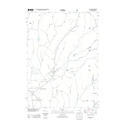
2013 Map of Salem
USGS Topo · Published 2013About this map
The town of Salem serves as the focal point of this survey, where the local rail history is marked by Greenwich Junction and several prominent cemeteries that anchor the community's genealogy. Of particular interest is the Revolutionary War Cem, situated near the town center alongside Evergreen Cem. The landscape to the east rises into the Taconic foothills, defined by distinct topographical features like Hogback Ridge and Blind Buck Hollow. To the south, the settlement of Rexleigh sits near the Batten Kill, while the northern reaches include MacClan Farms and the waters of Scott Lake. This map captures the intricate drainage patterns of White Cr, Beaver Brook, and Buttermilk Falls Brook as they carve through the valleys of Washington County, reflecting a landscape still deeply defined by its colonial-era foundations and agricultural heritage.
Find a feature on this map
112 named features on this map. Tap any name to fly to it.
Don’t see what you’re looking for? This feature index may not catch every label — zoom into the map to look around manually.
Map Details
Editions of this 2013 Salem Map
This is the sole edition of this map. No revisions or reprints were ever made.
Other maps of this area

1893 · Fort Ann
USGS Topo · 1:62,500

1894 · Pawlet
USGS Topo · 1:62,500

1894 · Equinox
USGS Topo · 1:62,500

1895 · Cambridge
USGS Topo · 1:62,500

1895 · Fort Ann
USGS Topo · 1:62,500

1896 · Equinox
USGS Topo · 1:62,500

1897 · Pawlet
USGS Topo · 1:62,500

1898 · Cambridge
USGS Topo · 1:62,500

1898 · Fort Ann
USGS Topo · 1:62,500

1900 · Equinox
USGS Topo · 1:62,500